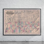


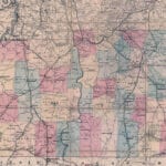
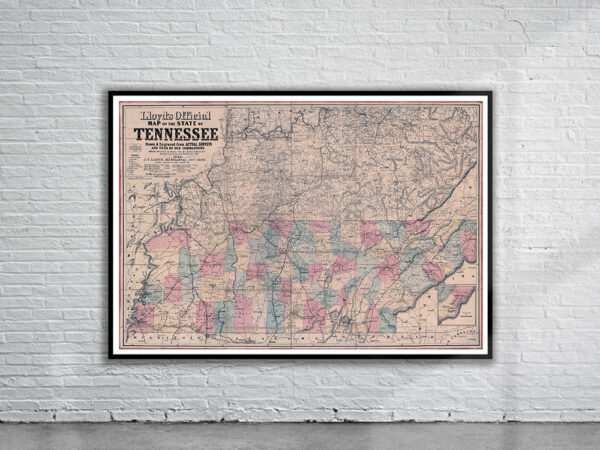
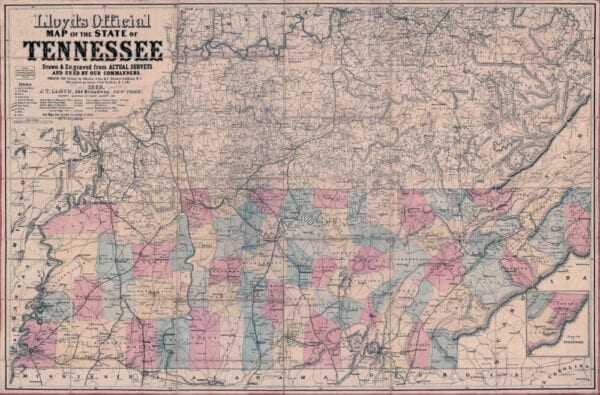
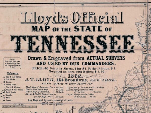
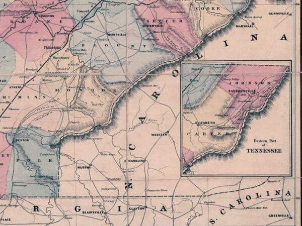
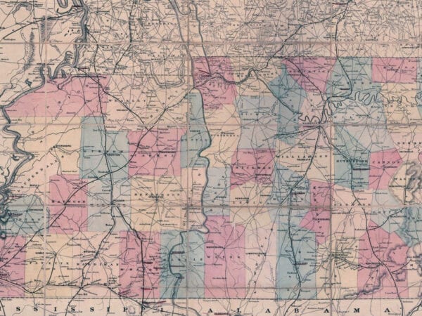
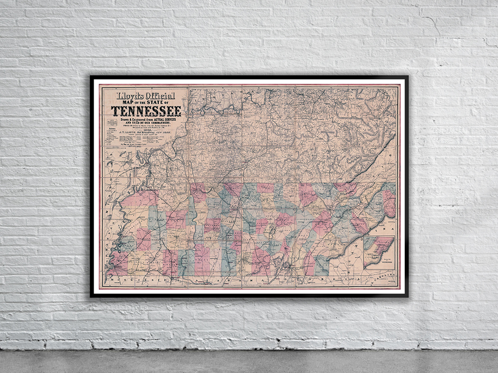
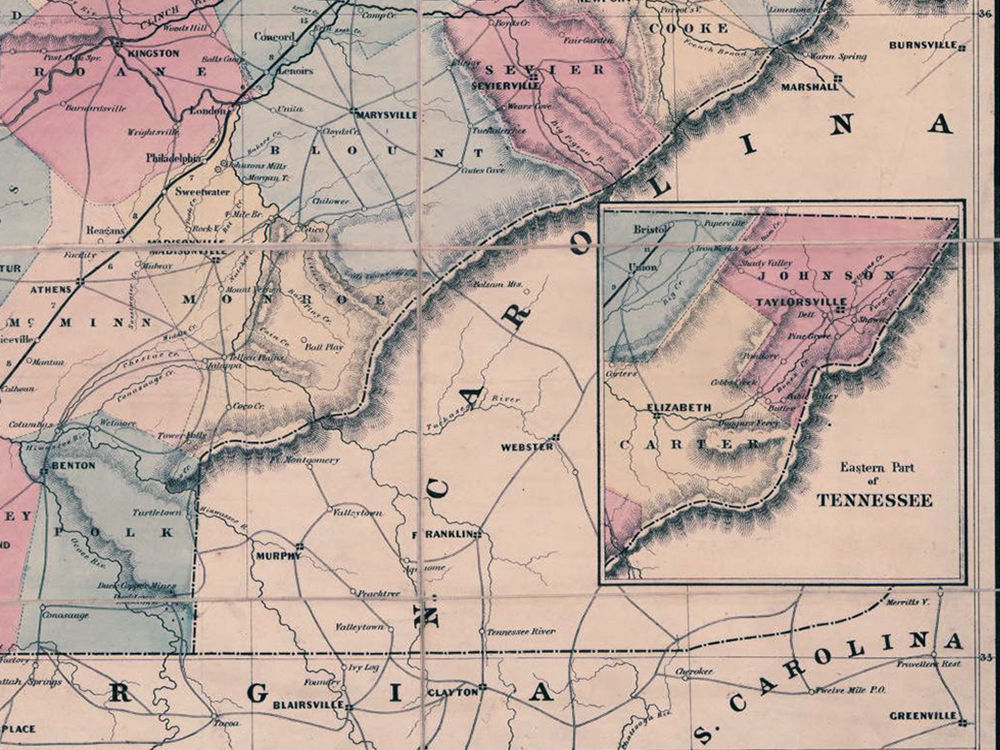
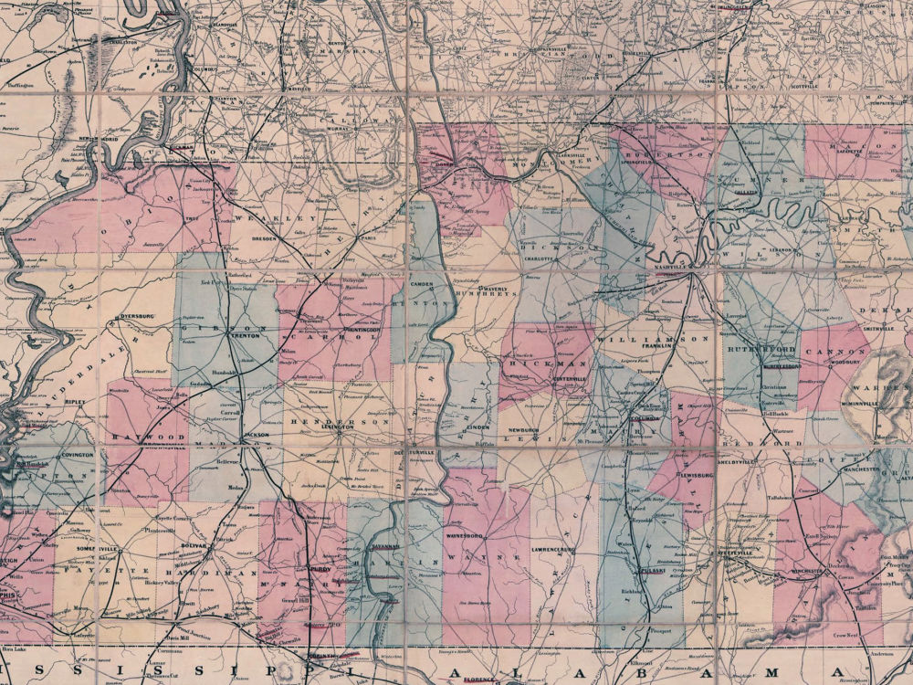
Lloyds Map of Tennessee “Entered according to Act of Congress in the year 1862 by J.T. Lloyd, in the Clerks Office of the District of the Court of the U.S. for the southern District of New York.” The Map depicts county names and boundaries, cities and towns, roads and railroads, rivers, and fortifications. Battle sites are underlined in red.
- Stunning Full Colour Reproduction using the Most Advanced Technology Available
- Printed on Museum Matte Archival Paper 310gm
- Unique Conversation Piece for your Home or Business
- Frame not included