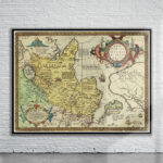
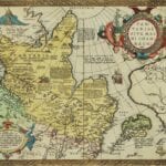
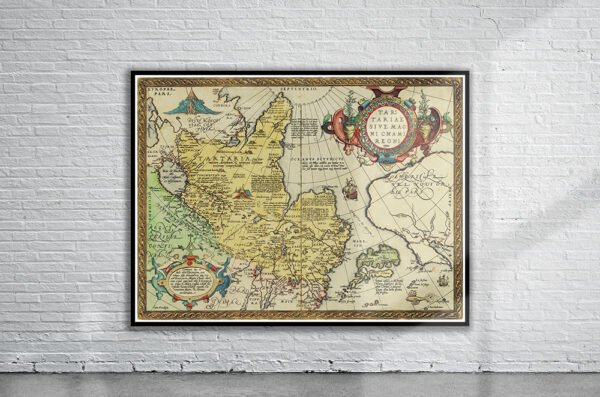
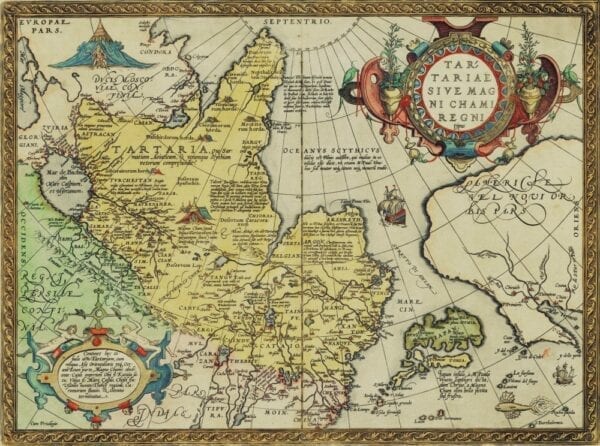
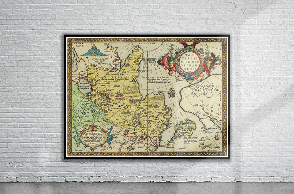
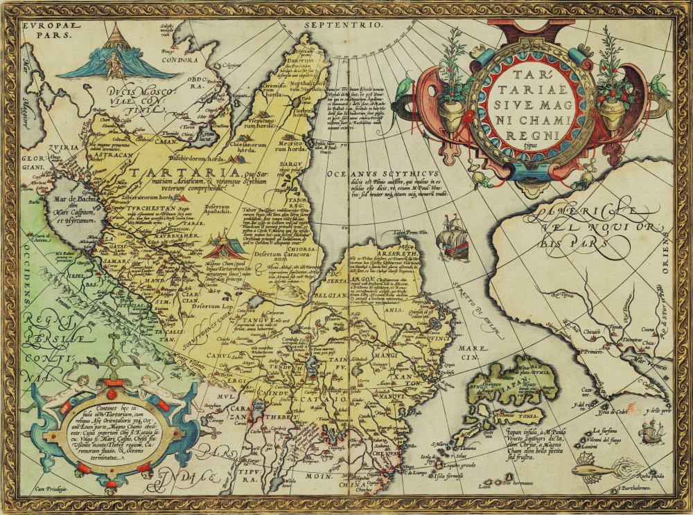
Abraham Ortelius’ Map of Tartaria from 1570. A fascinating map showing Tartaria, Cathay (China), Japan and California. The strait of Anian separates Asia and America, and a navigable North-Eastern passage is shown from Europe to Japan and China, complete with sailing ship.
- Stunning Full Colour Reproduction using the Most Advanced Technology Available
- Printed on Museum Matte Archival Paper 310gm
- Unique Conversation Piece for your Home or Business
- Frame not included