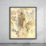
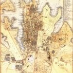
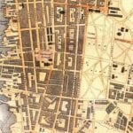
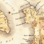
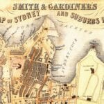

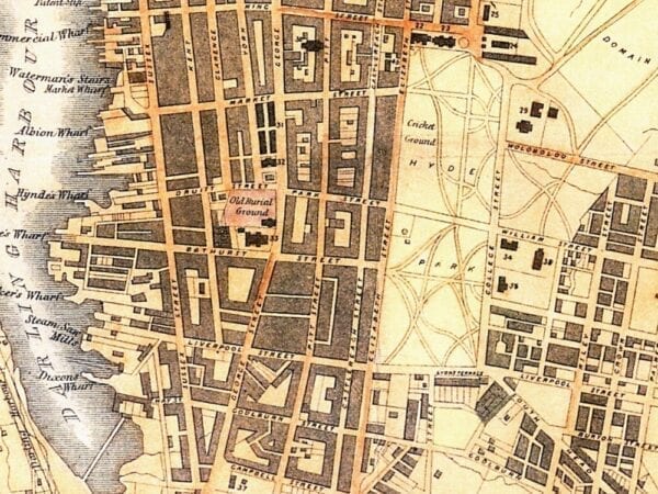

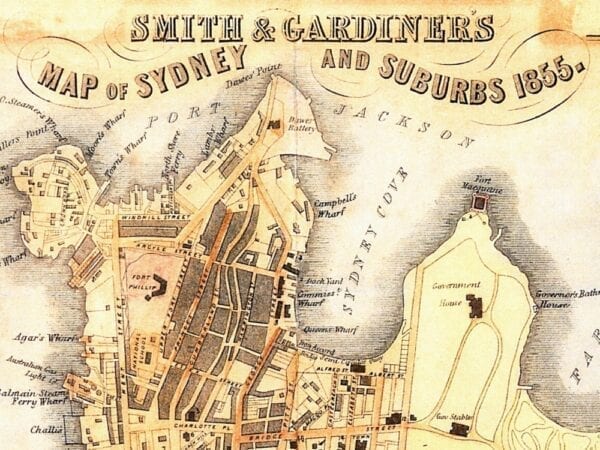
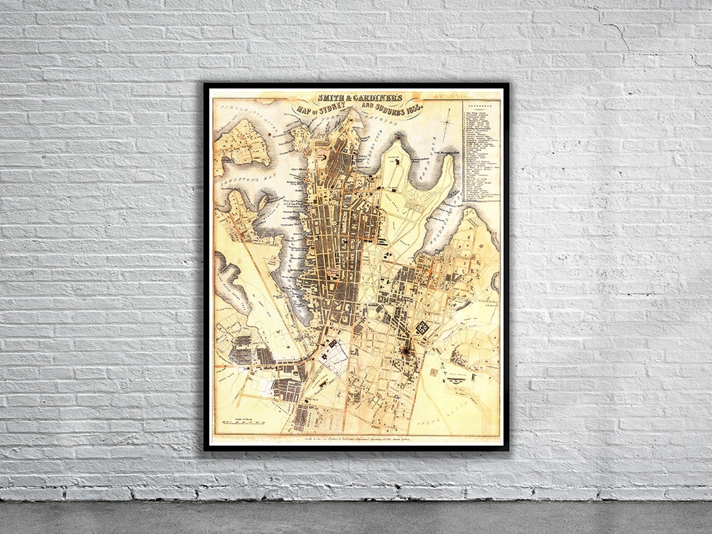
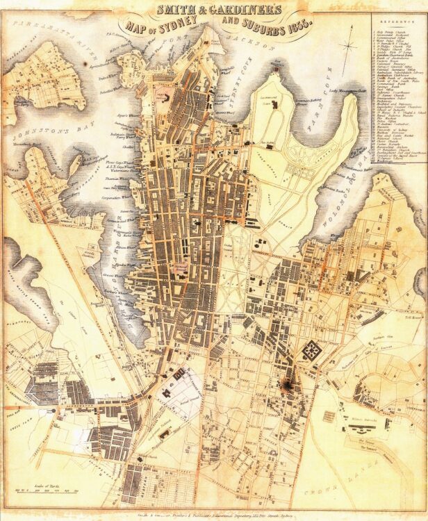
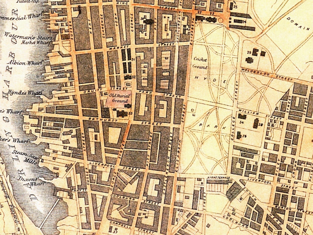
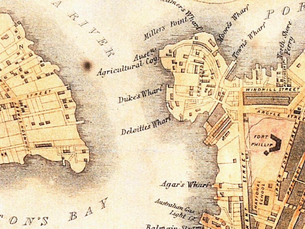
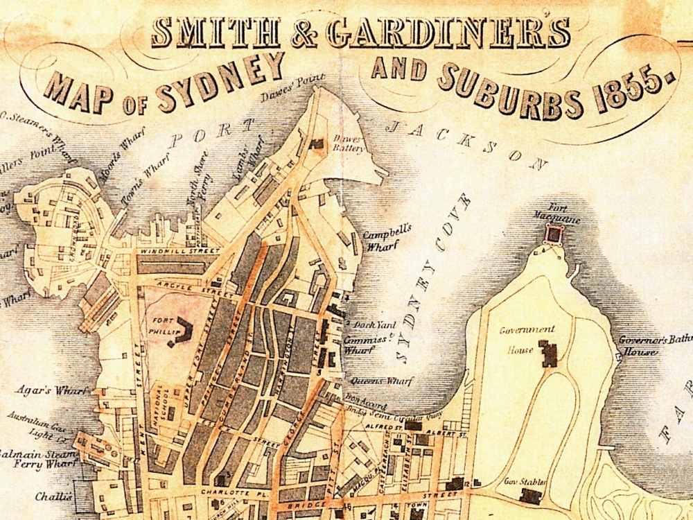
Smith & Gardiners Map of Sydney and Suburbs 1855. The map depicts the area of Sydney extending from Black Wattle Swamp Cove in the west to Toll House in the east.
- Stunning Full Colour Reproduction using the Most Advanced Technology Available
- Printed on Museum Matte Archival Paper 310gm
- Unique Conversation Piece for your Home or Business
- Frame not included