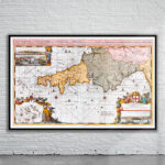
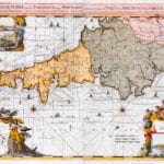


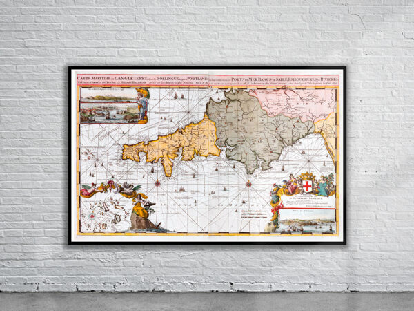
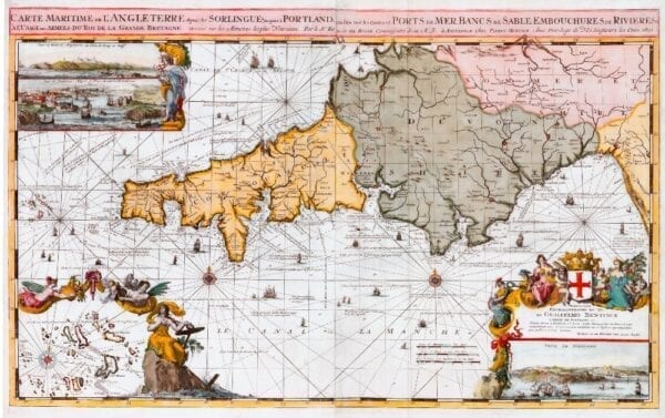
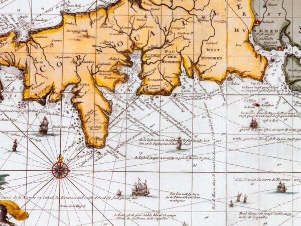


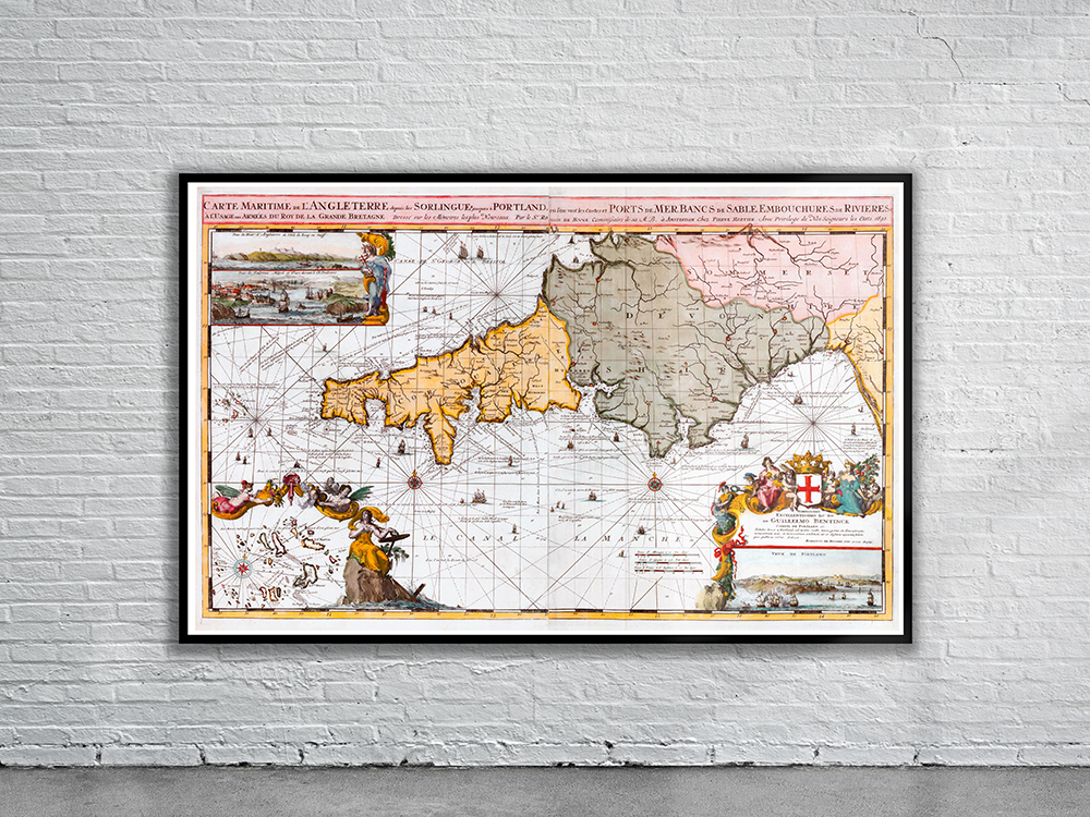
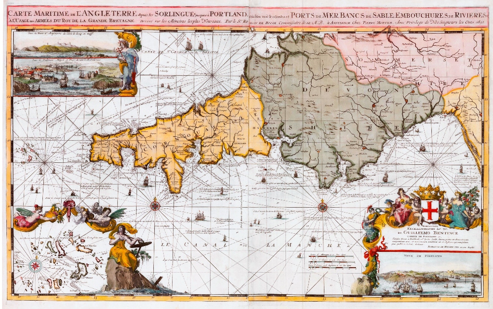
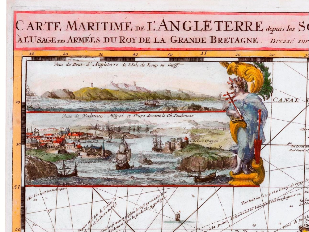
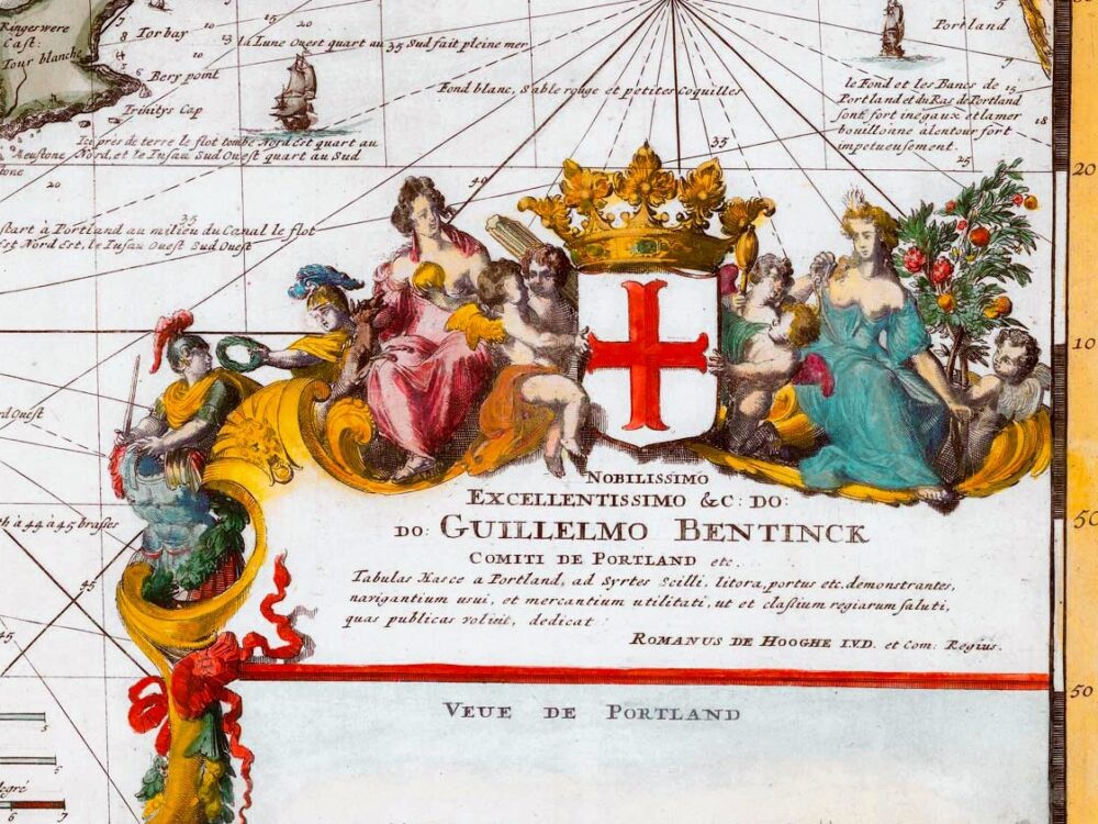
De Hooghe’s Sea Chart of the South West Coast of England from he Scilly Isles to Portland. Also shown is an inset view of the Scilly Isles.
- Stunning Full Colour Reproduction using the Most Advanced Technology Available
- Printed on Museum Matte Archival Paper 310gm
- Unique Conversation Piece for your Home or Business
- Frame not included