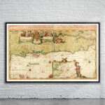
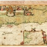


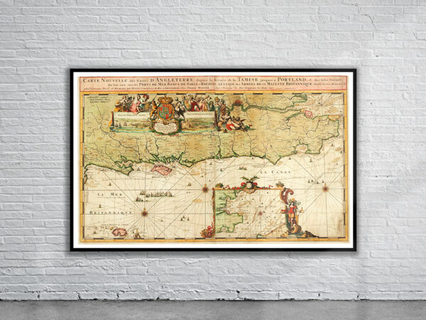
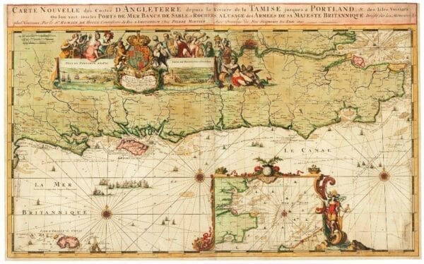
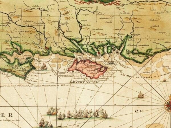
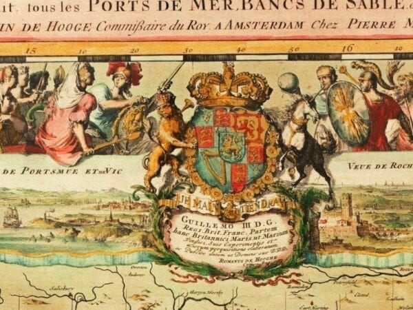
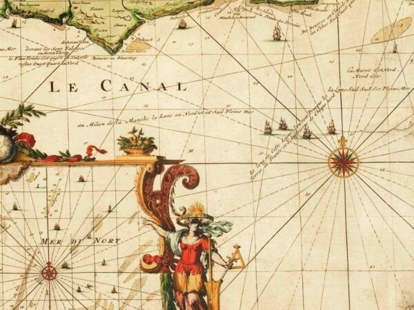
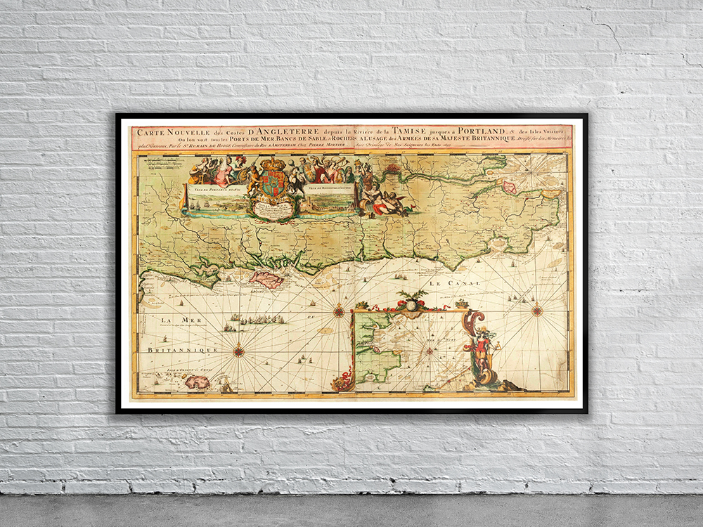
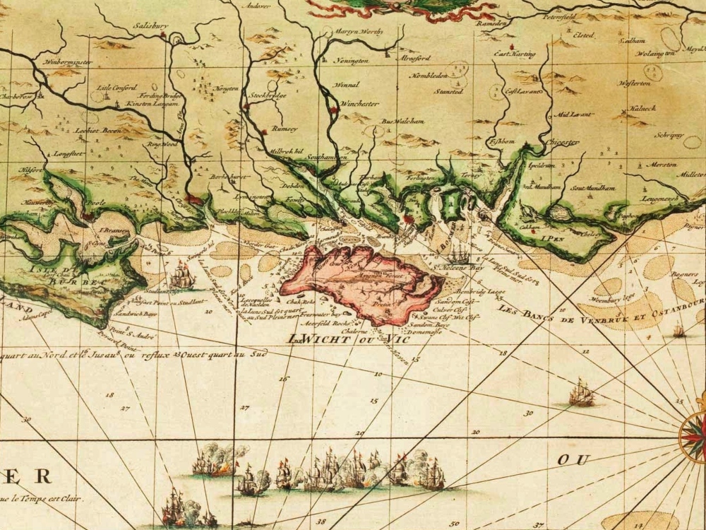
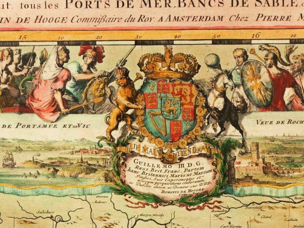
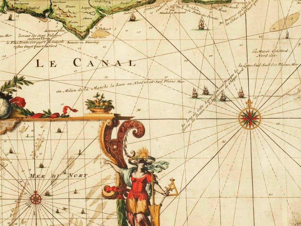
De Hooghe’s Sea Chart of the South East Coast of England showing the Thames to London, and the sea coast round to Portland with the Isle of Wight and Alderney. Also shown are inset views of the Strait of Dover and prospects of Portsmouth and Rochester & Chatham.
- Stunning Full Colour Reproduction using the Most Advanced Technology Available
- Printed on Museum Matte Archival Paper 310gm
- Unique Conversation Piece for your Home or Business
- Frame not included