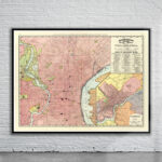
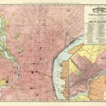
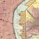
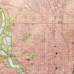
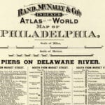

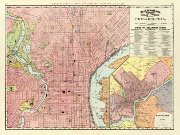
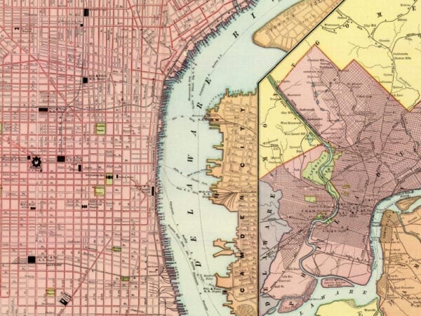
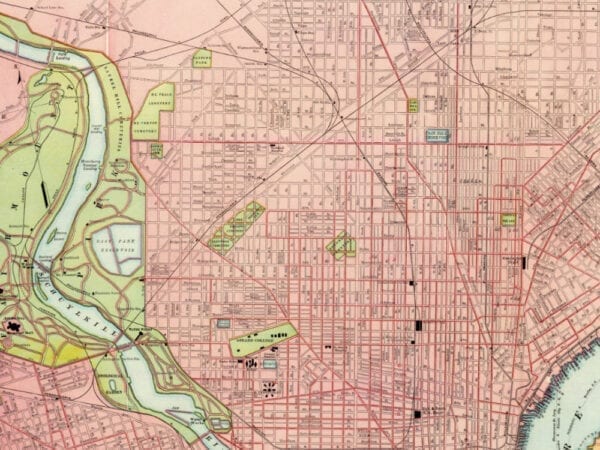
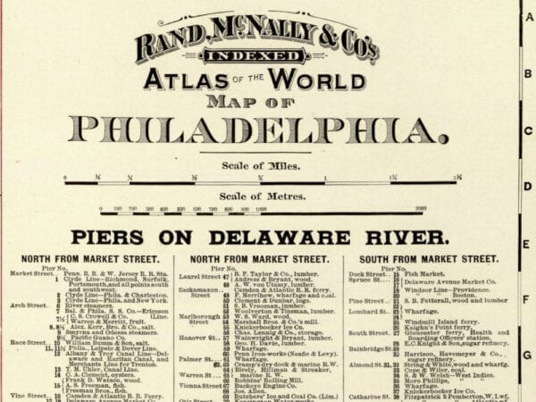
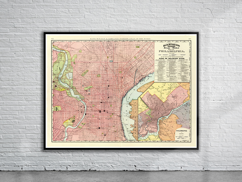
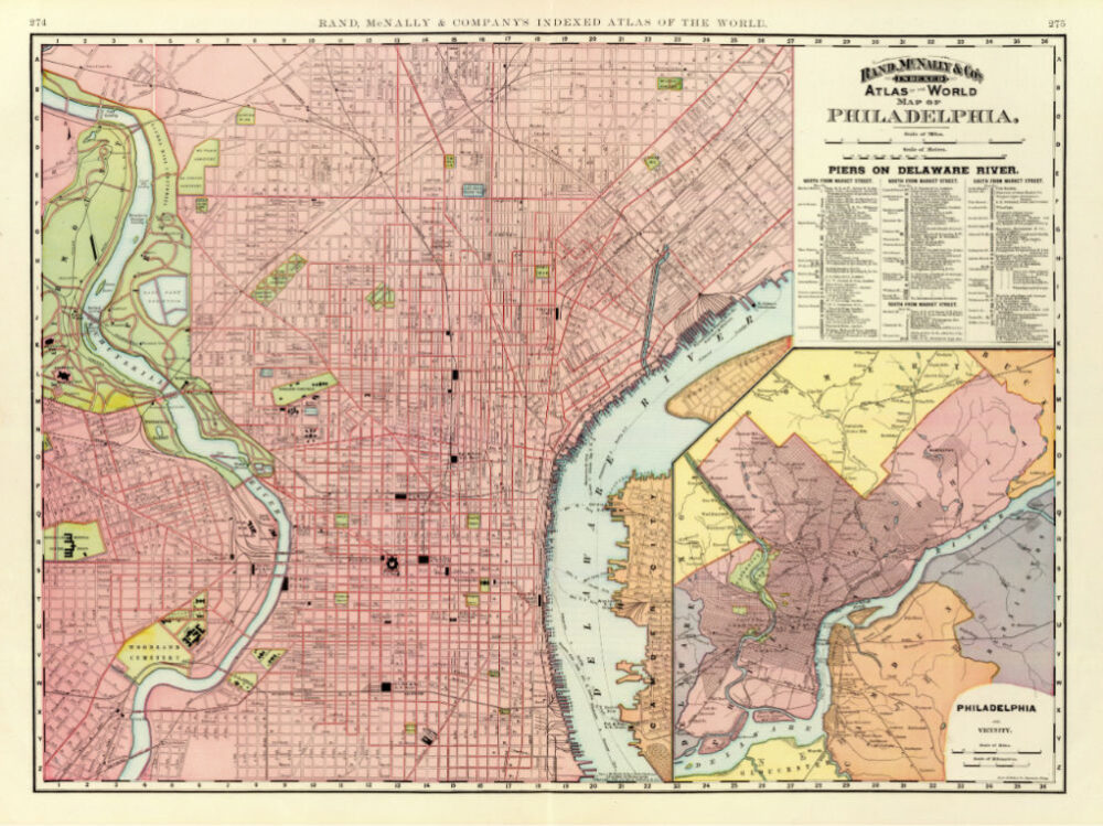
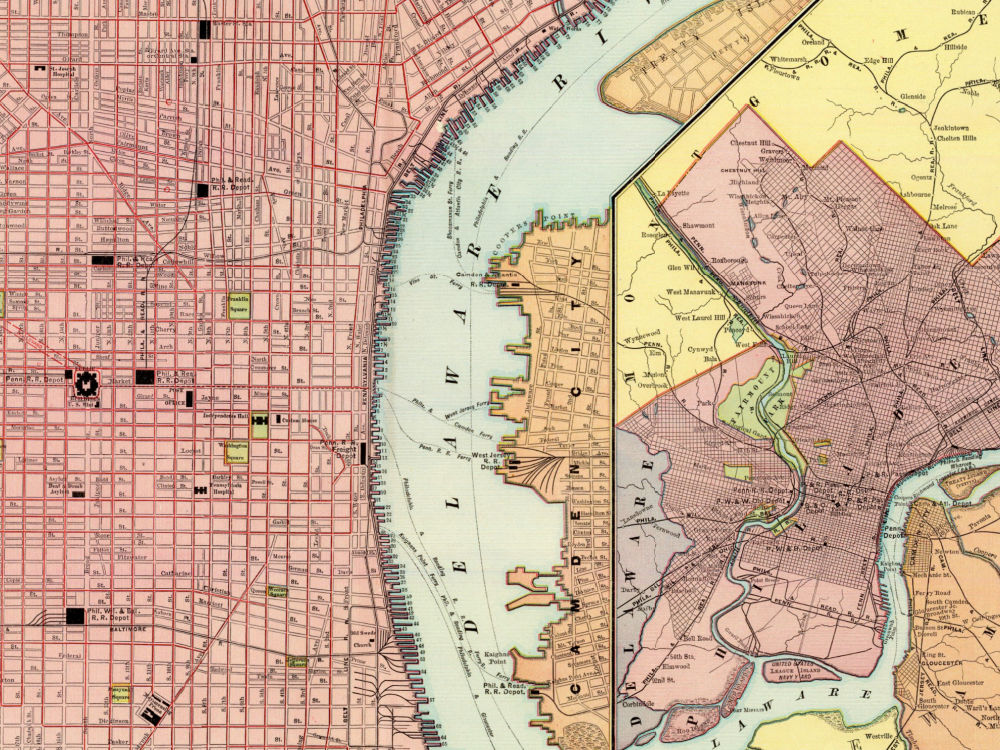
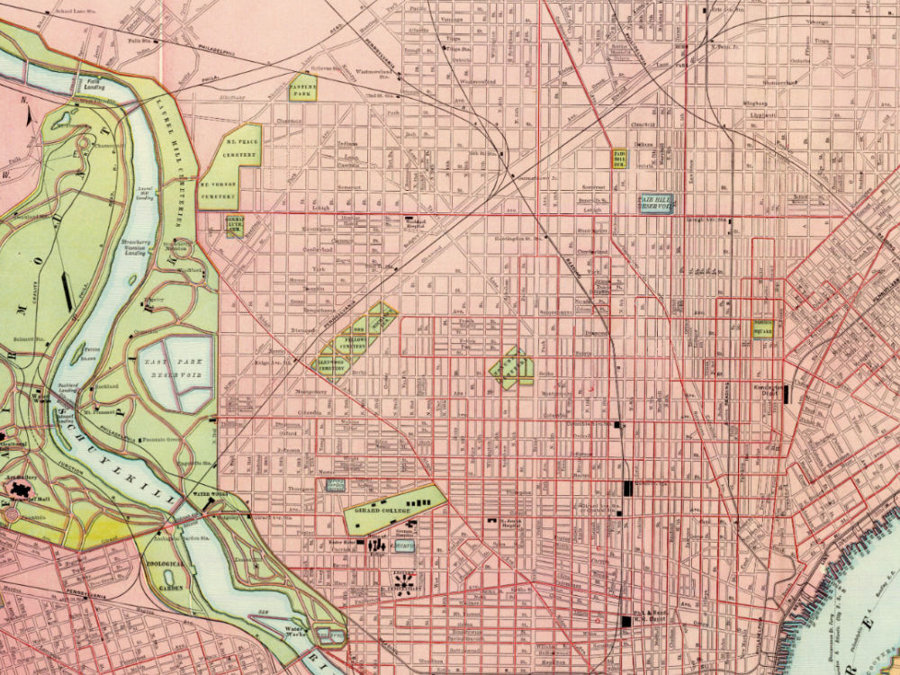
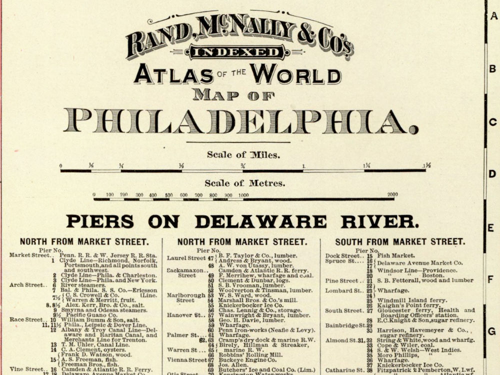
Rand & McNally’s 1891 map of Philadelphia, extending west of the Schuylkill River. The map shows roads, streets, buildings, colleges, reservoirs, piers, ferrys, railroads and depots. The inset in the bottom right corner is of Philadelphia and neighboring counties.
- Stunning Full Colour Reproduction using the Most Advanced Technology Available
- Printed on Museum Matte Archival Paper 310gm
- Unique Conversation Piece for your Home or Business
- Frame not included