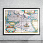
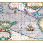
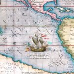
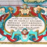
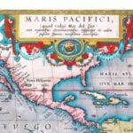
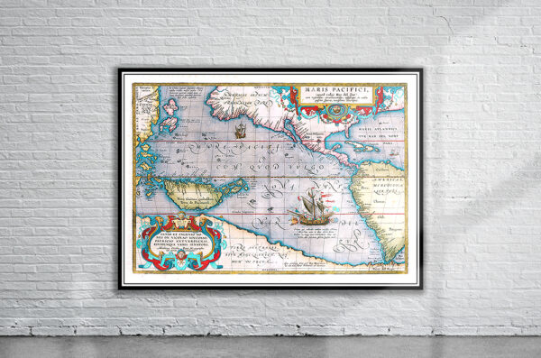
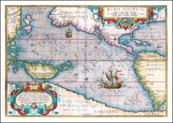
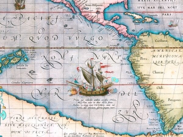
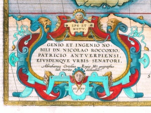
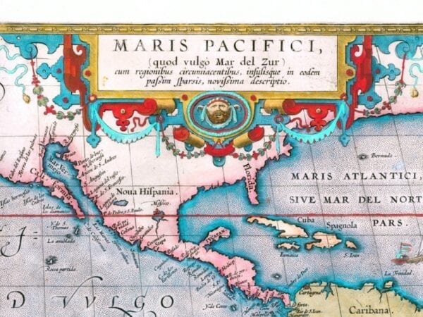
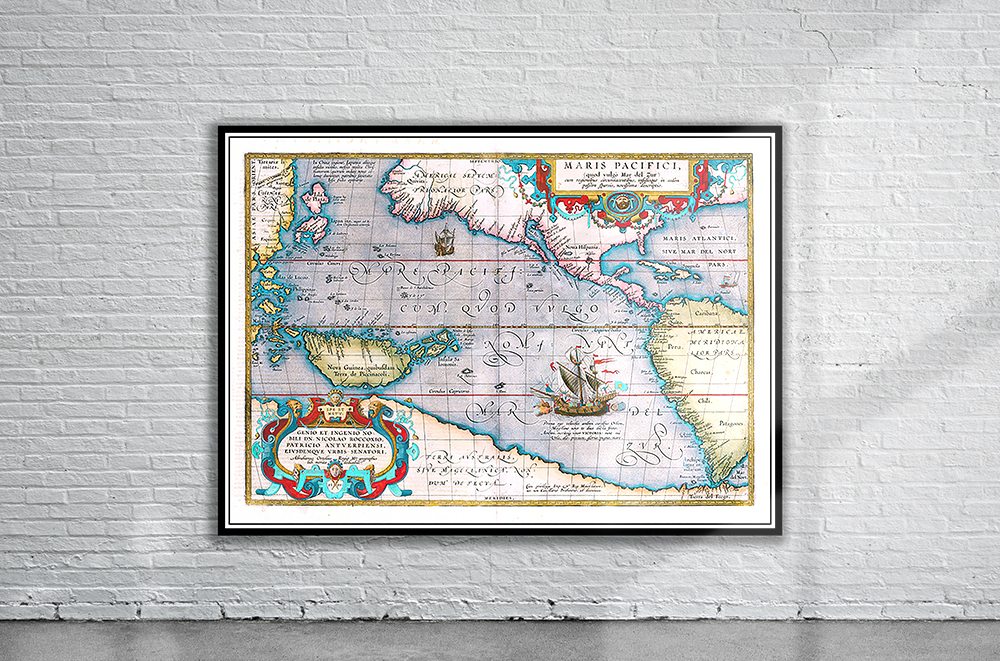
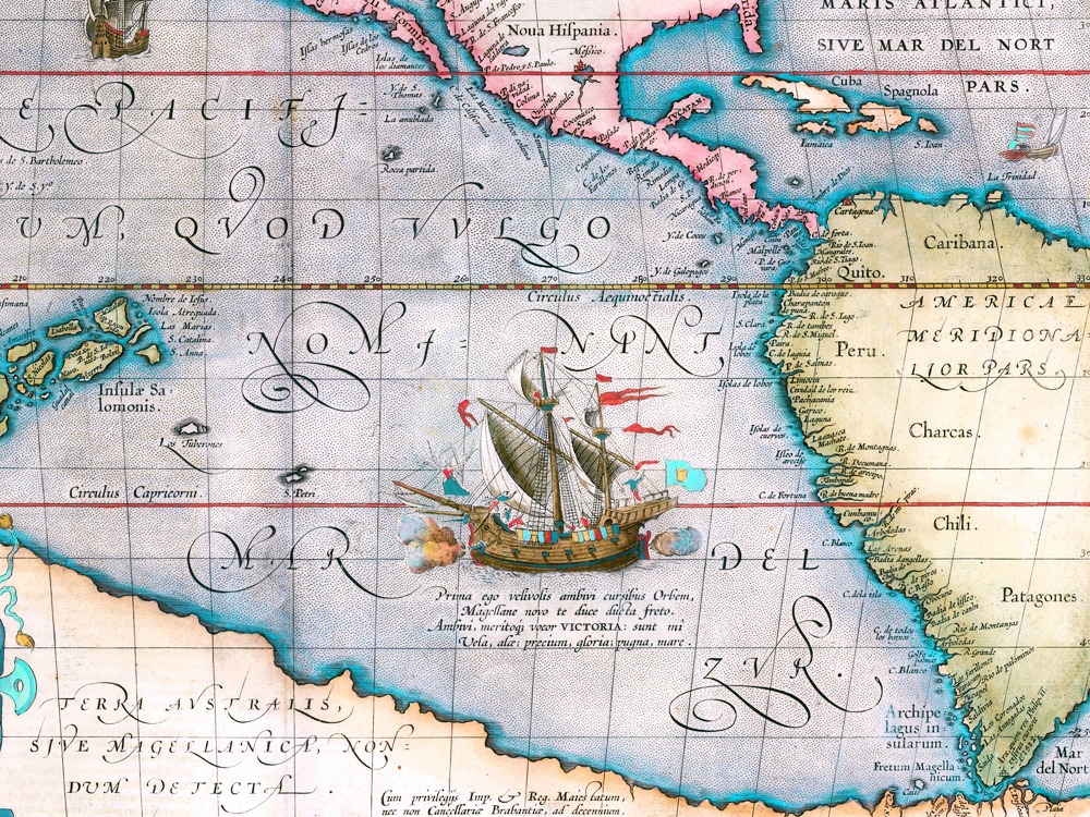
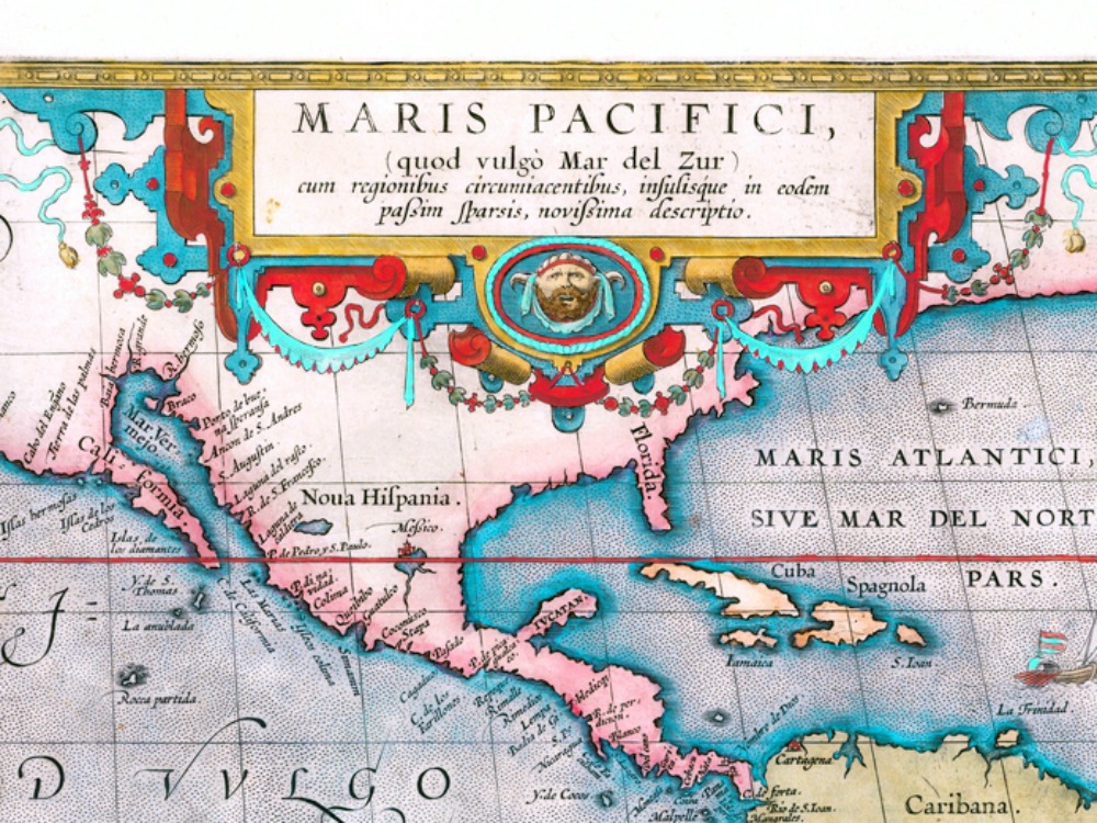
Abraham Ortelius’ Map of the Pacific Ocean from 1590. This seminal map of the Pacific is the first printed map devoted to the Pacific and the first to label the Americas separately as North and South. The map is adorned with two elaborate cartouches and Magellans surviving ship Victoria is pictured along with two smaller ships.
- Stunning Full Colour Reproduction using the Most Advanced Technology Available
- Printed on Museum Matte Archival Paper 310gm
- Unique Conversation Piece for your Home or Business
- Frame not included