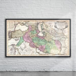
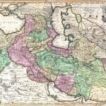
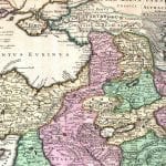
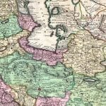

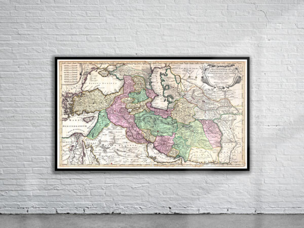
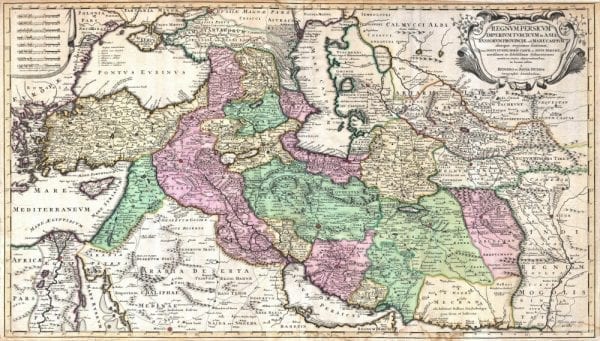

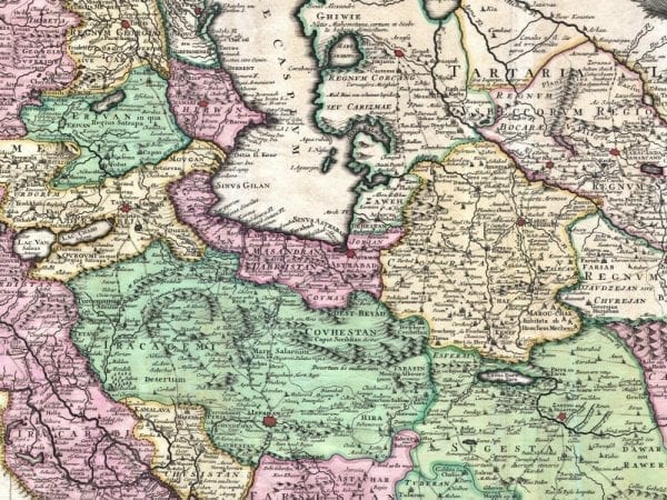
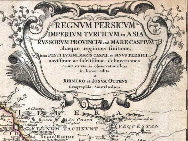
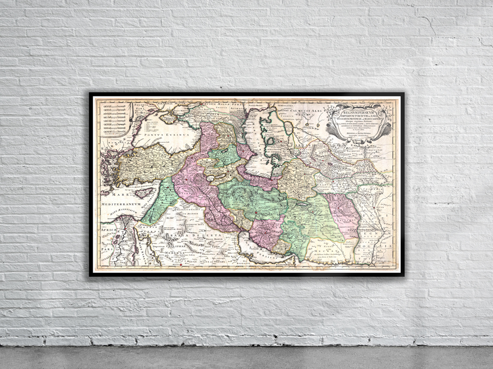
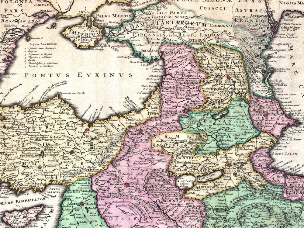
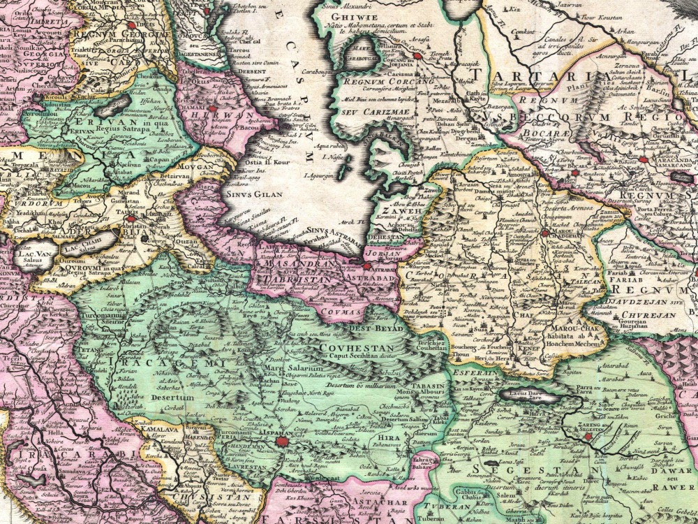
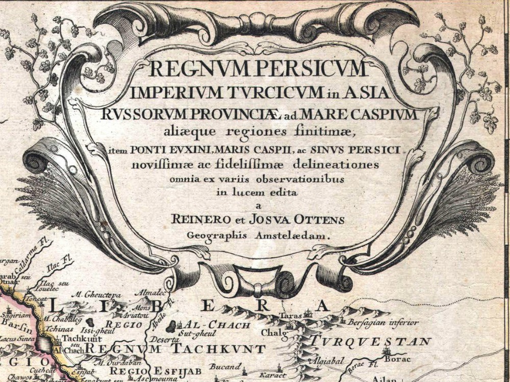
Otten’s map of the Ottoman Empire in 1730. Covers from Egypt and Greece eastward to include Turkey, the northern part of the Arabian Peninsula, the Black and Caspian Seas, Persia, and Tartary, Afghanistan and Pakistan, including the Indus valley and the western extant of the Mogul Empire. Extends as far north as Asof (Asov) and Tibet, and as far south as Medina. Includes superb detail regarding the early 18th century Silk Route trading routes through Persia and Central Asia.
- Stunning Full Colour Reproduction using the Most Advanced Technology Available
- Printed on Museum Matte Archival Paper 310gm
- Unique Conversation Piece for your Home or Business
- Frame not included