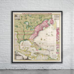
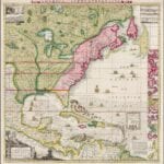
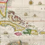
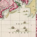
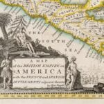
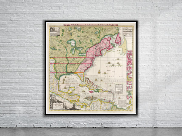

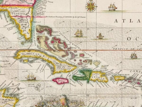


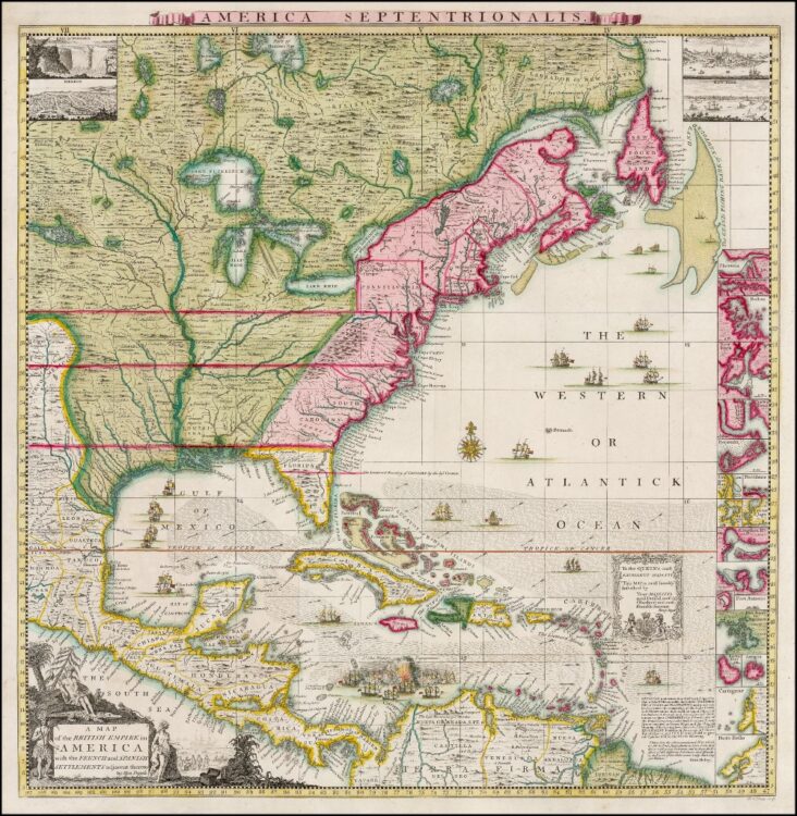
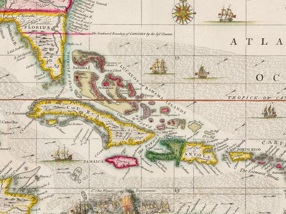
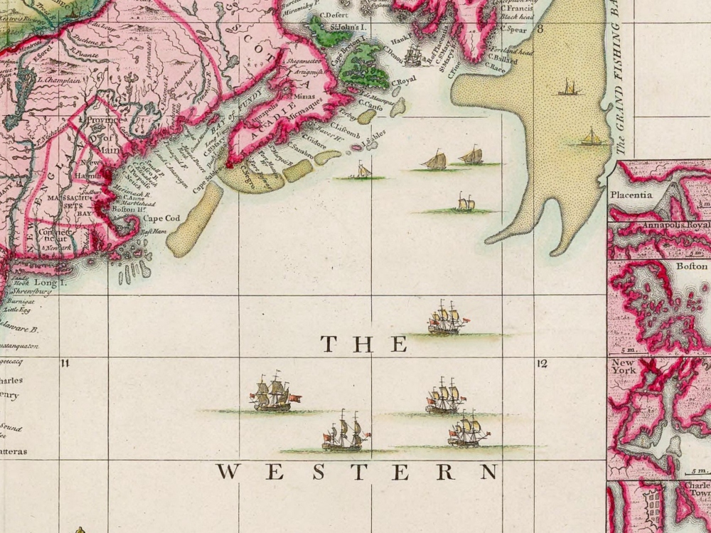
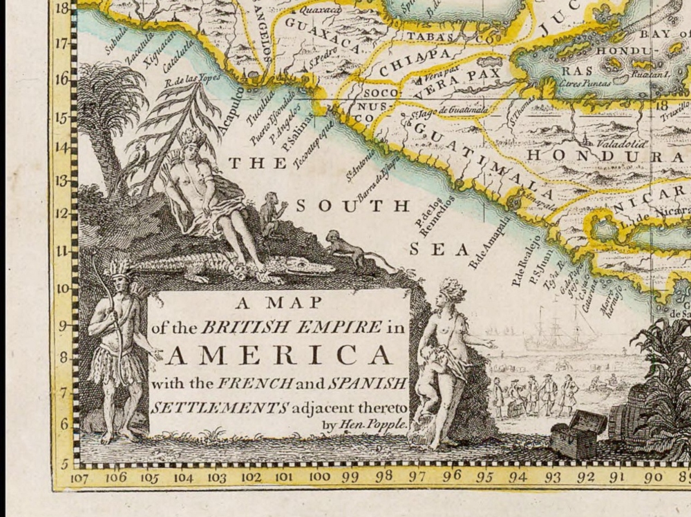
A spectacular map of North America during the time of British, French and Spanish settlements. The map includes 4 views (New York Harbour, Québec, México City and Niagara Falls) and 17 Harbour Plans.
- Stunning Full Colour Reproduction using the Most Advanced Technology Available
- Printed on Museum Matte Archival Paper 310gm
- Unique Conversation Piece for your Home or Business
- Frame not included