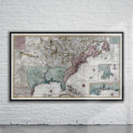


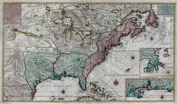
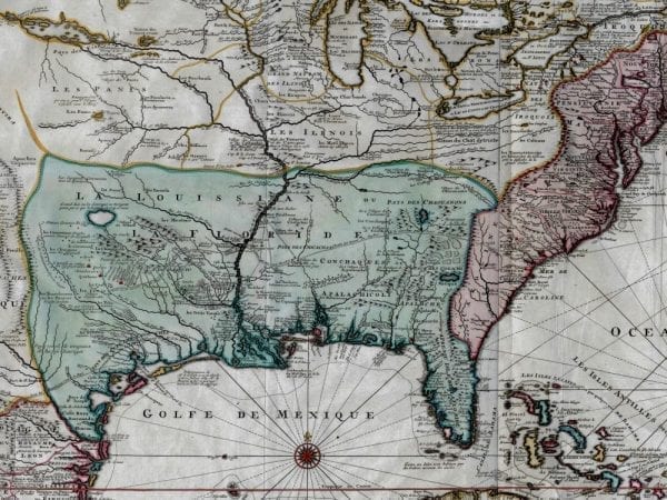
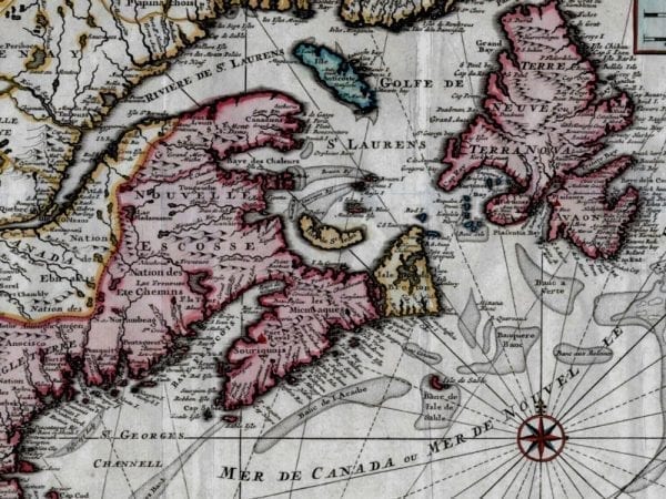
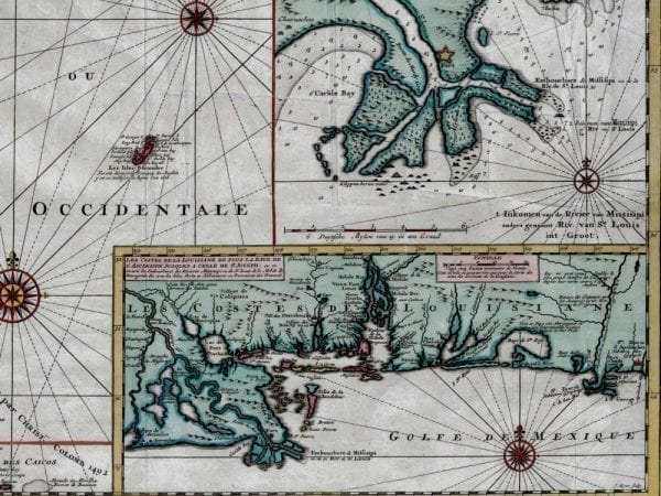
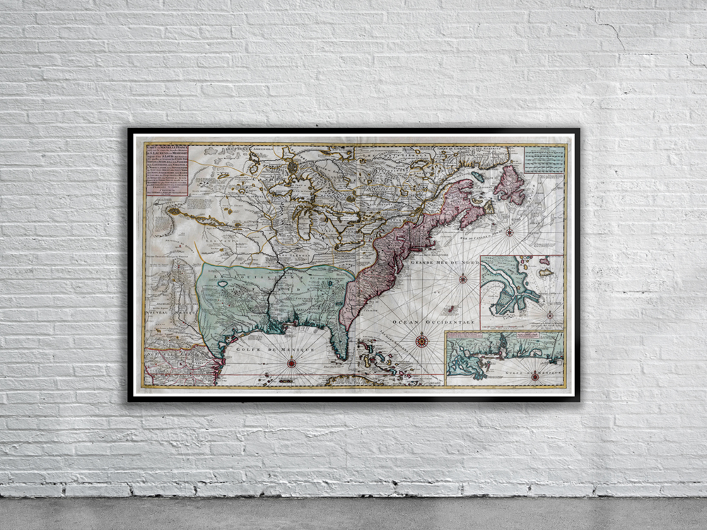
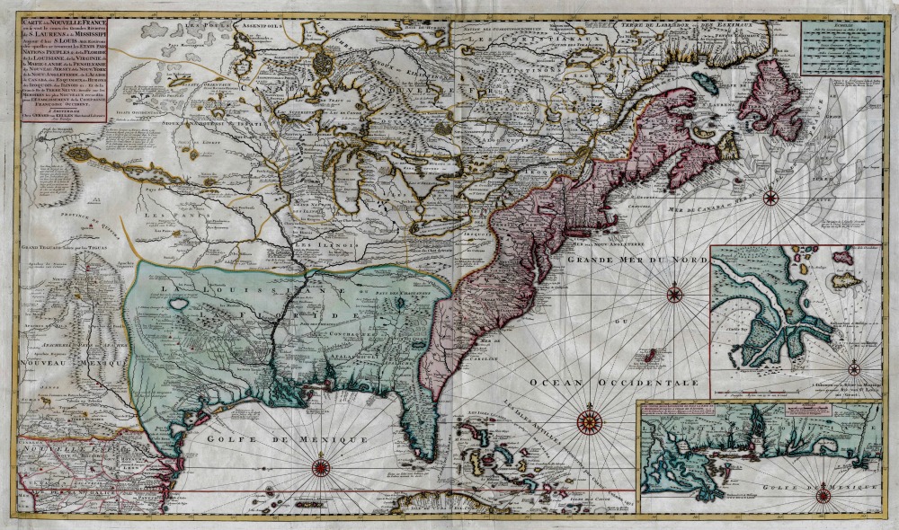
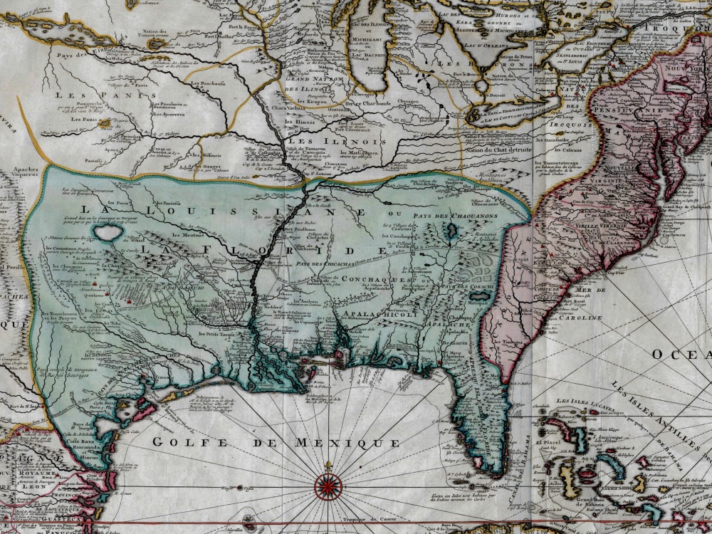
Van Keulen’s 1720 Map of New France which shows French Louisiana and Texas. The insets on the bottom right depict a portion of the Gulf Coast and the mouth of the Mississippi River.
- Stunning Full Colour Reproduction using the Most Advanced Technology Available
- Printed on Museum Matte Archival Paper 310gm
- Unique Conversation Piece for your Home or Business
- Frame not included