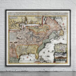
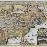
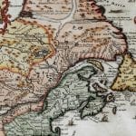
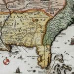
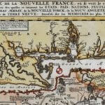
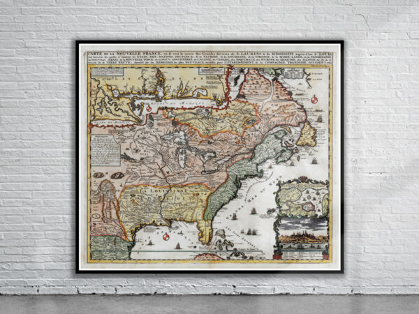
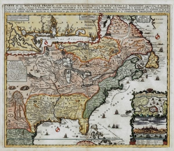
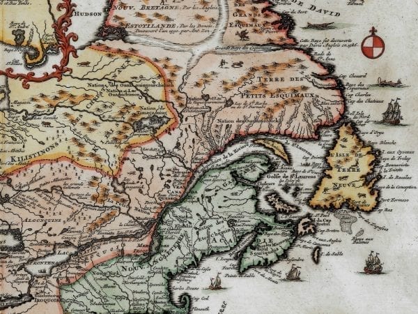
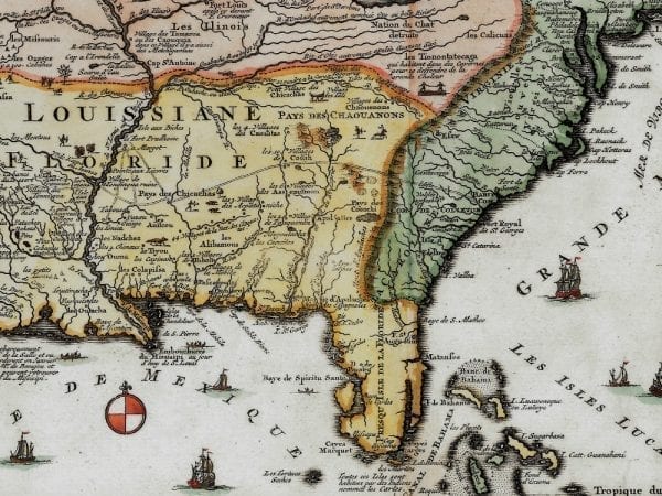
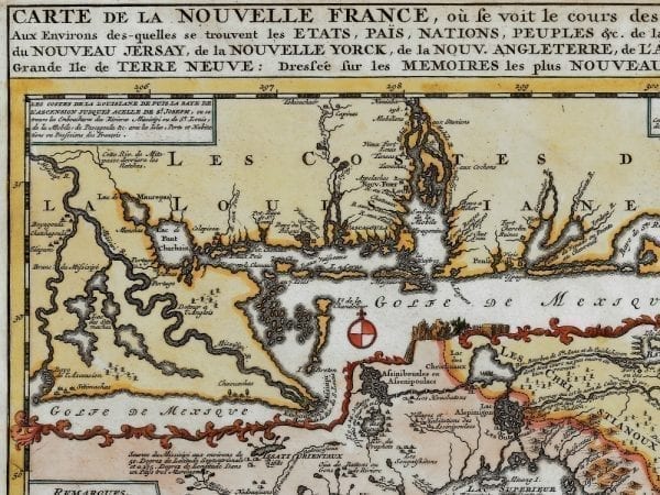
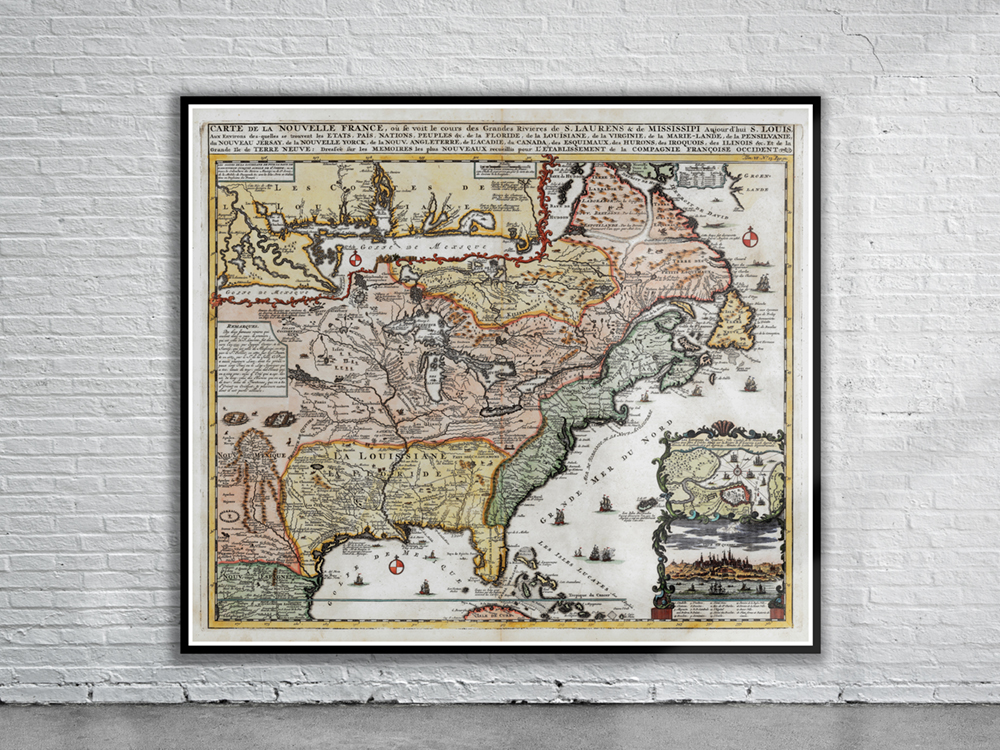
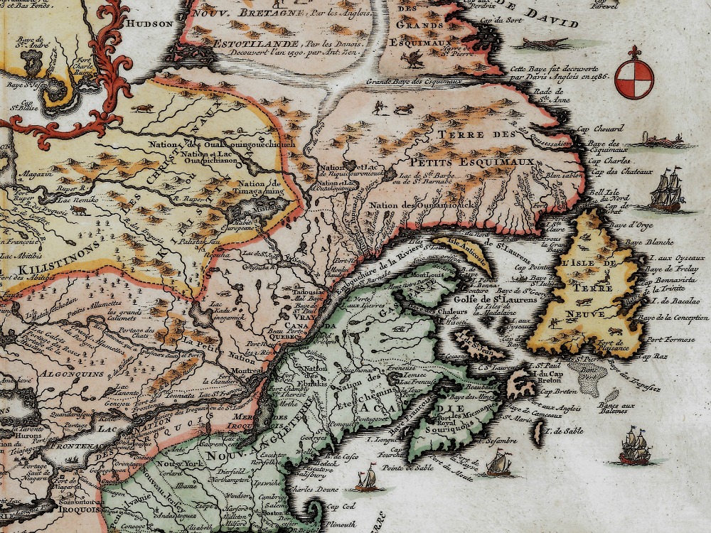
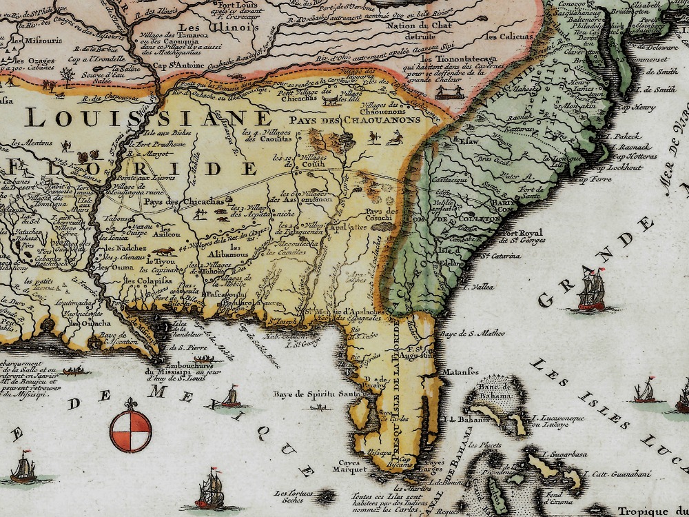
Chatelain’s 1719 map of North America with an insert of the Mississippi River Delta and the Gulf Coast. The map is filled with wildlife, scenes of Indians hunting; Indian villages and notations, and the oceans are embellished with numerous ships, canoes and sea monsters.
- Stunning Full Colour Reproduction using the Most Advanced Technology Available
- Printed on Museum Matte Archival Paper 310gm
- Unique Conversation Piece for your Home or Business
- Frame not included