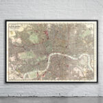
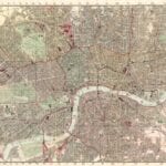
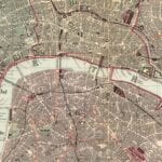
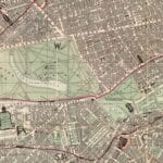
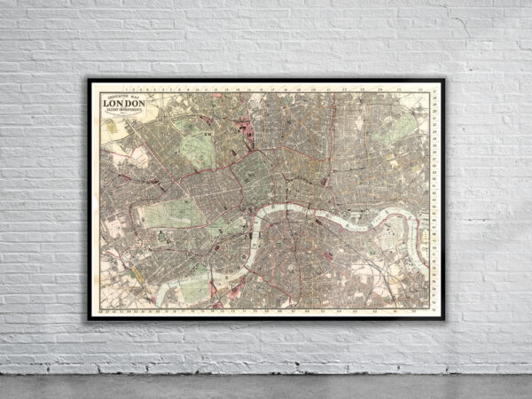
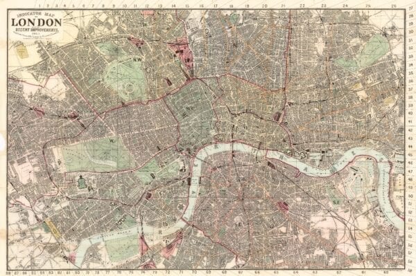
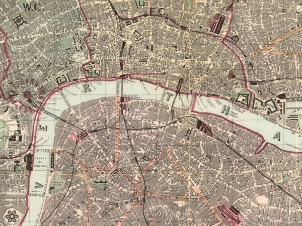

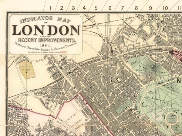
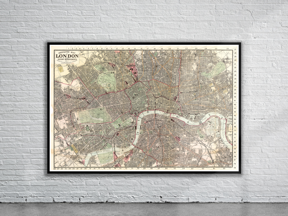
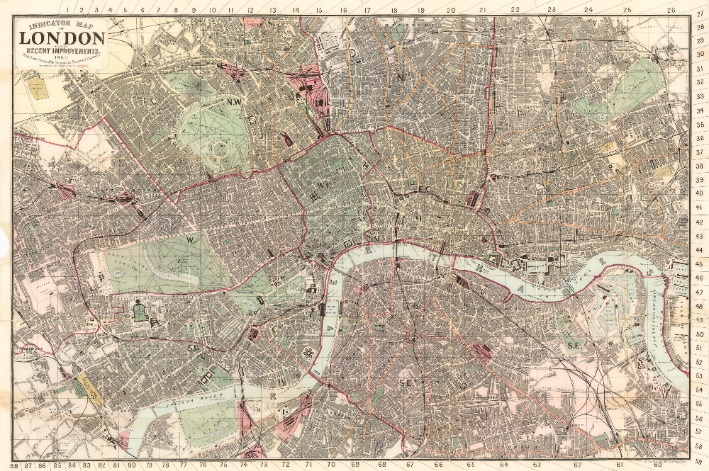
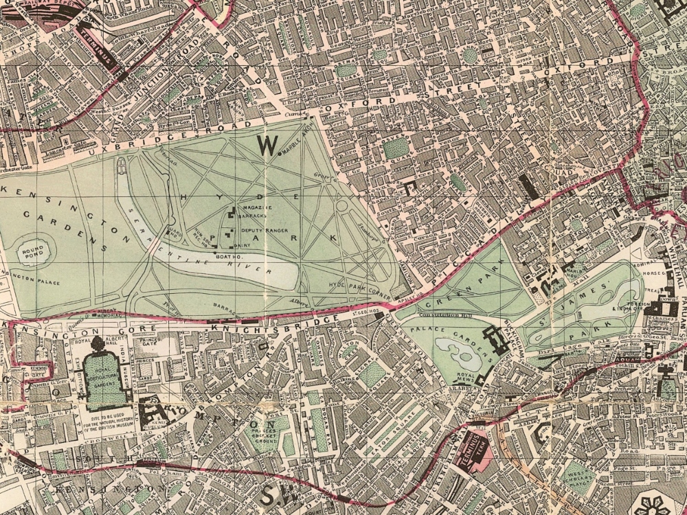
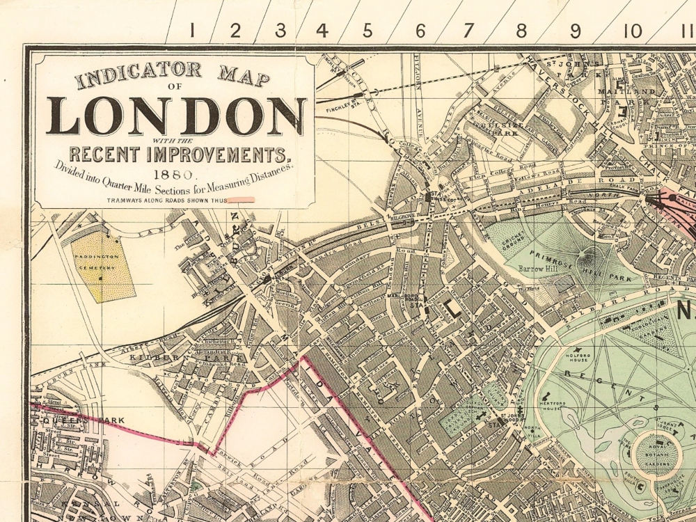
A distinctive 1880 Map of London showing streets, roads, railways, drainage, borough boundaries, towns, and other points of interests. The Map is divided into quarter mile sections for measuring distances.
- Stunning Full Colour Reproduction using the Most Advanced Technology Available
- Printed on Museum Matte Archival Paper 310gm
- Unique Conversation Piece for your Home or Business
- Frame not included