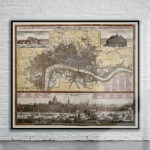
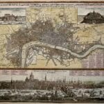
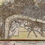
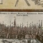

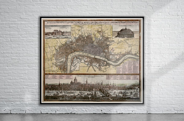
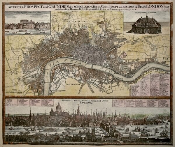
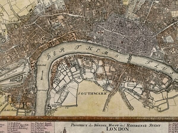
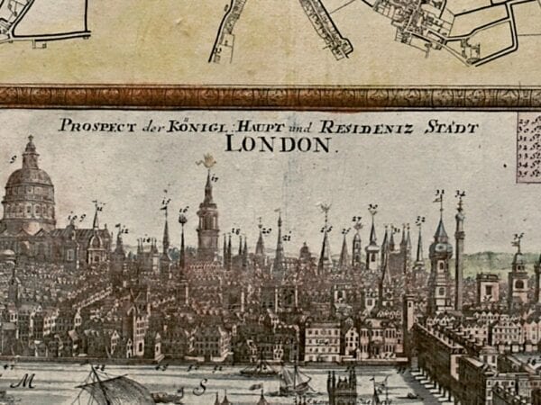
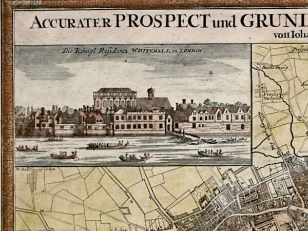
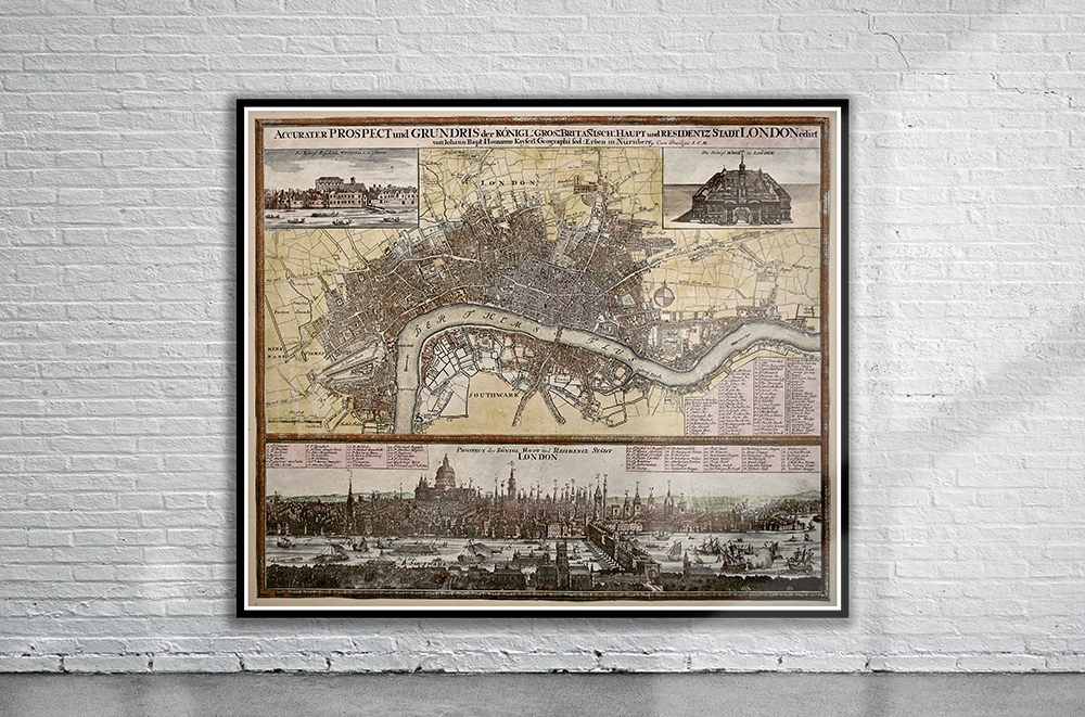
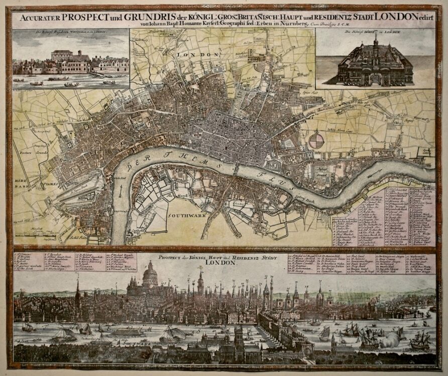
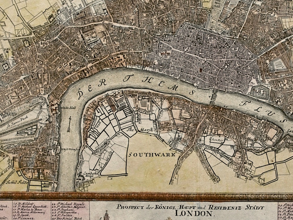
Johann Baptist Homann’s Map of London from 1730. To the upper left of the plan is a of the Palace of Whitehall – the royal residence in the seventeenth century; to the upper right is a view of the Royal Exchange, which had been rebuilt by Edward Jarman, after the previous one had been destroyed in the Great Fire. Below left is a list of streets, churches and public buildings.
- Stunning Full Colour Reproduction using the Most Advanced Technology Available
- Printed on Museum Matte Archival Paper 310gm
- Unique Conversation Piece for your Home or Business
- Frame not included