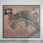
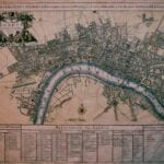
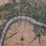
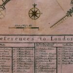
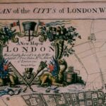

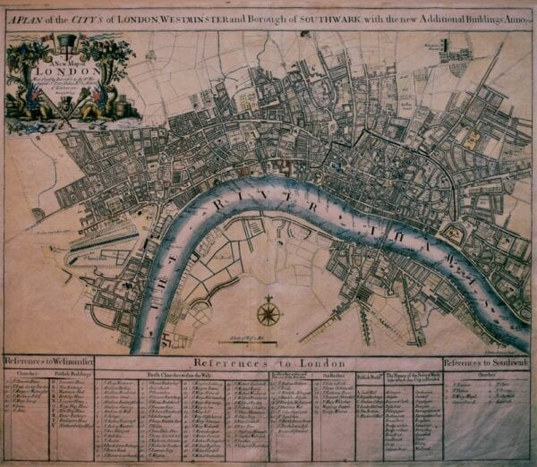
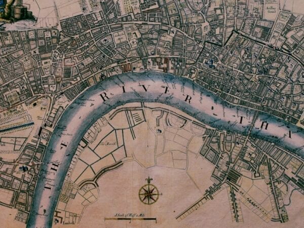


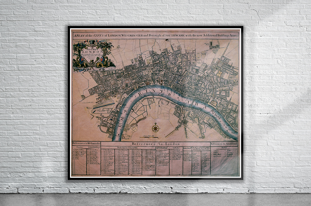
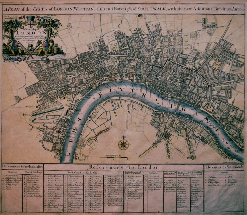
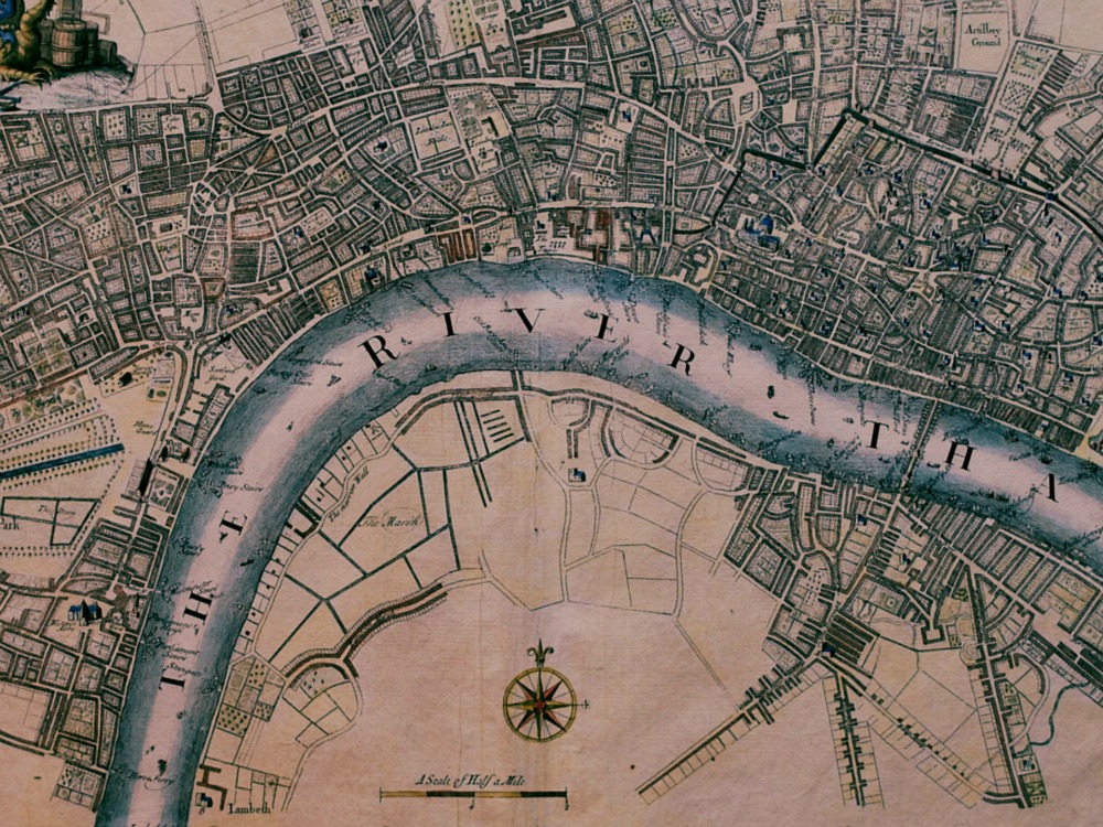
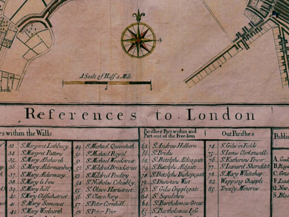
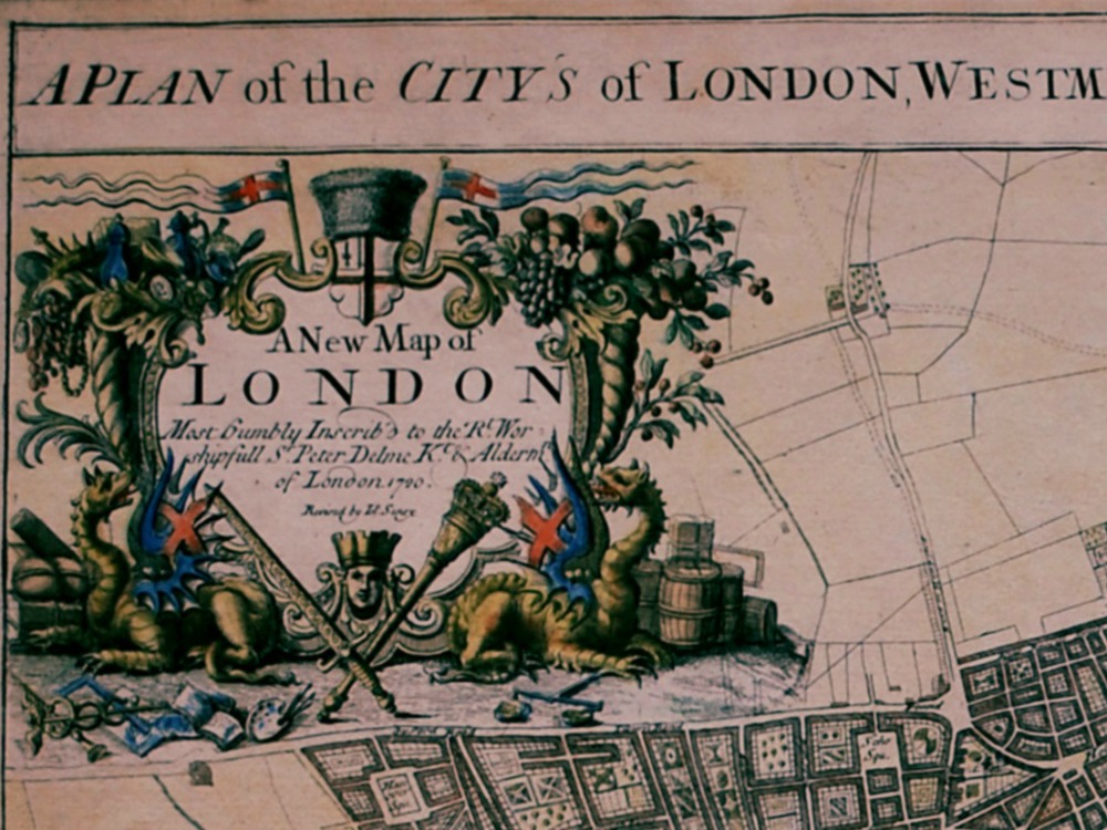
John Senex’s map of the London that was built after the Great Fire of 1666. (St. Paul’s was completed in 1710). The map includes an index that locates the 87 parishes in London and Westminster, and eight in Southwark.
- Stunning Full Colour Reproduction using the Most Advanced Technology Available
- Printed on Museum Matte Archival Paper 310gm
- Unique Conversation Piece for your Home or Business
- Frame not included