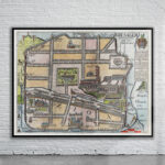
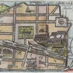
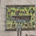
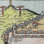
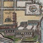
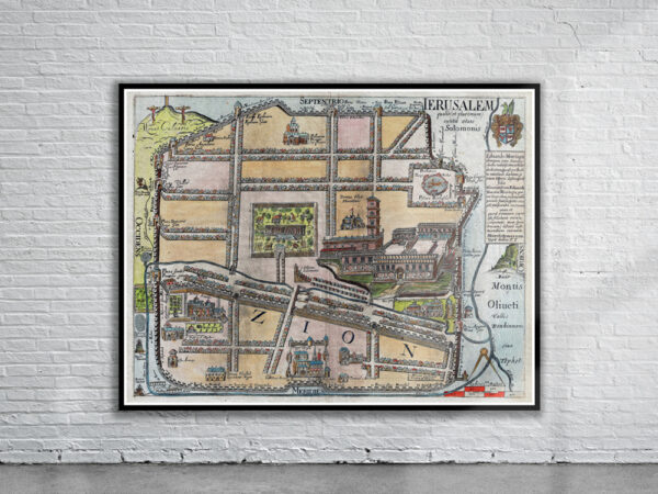
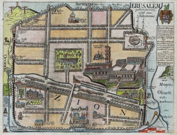
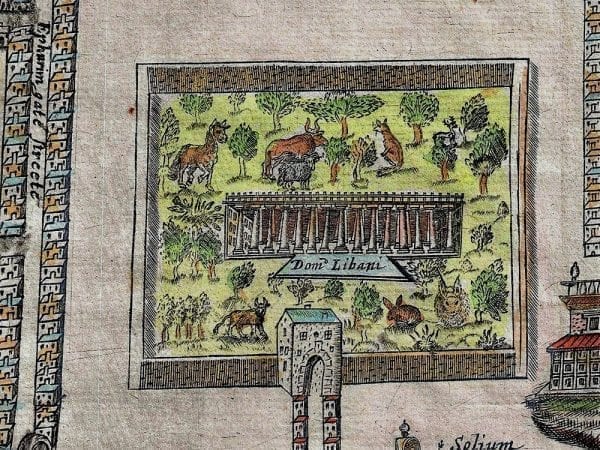

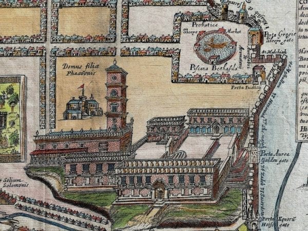
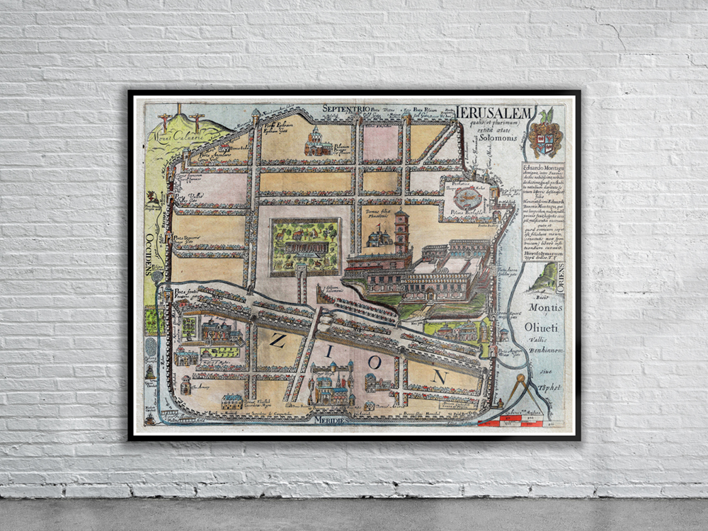
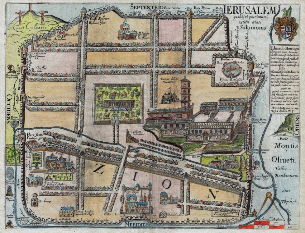
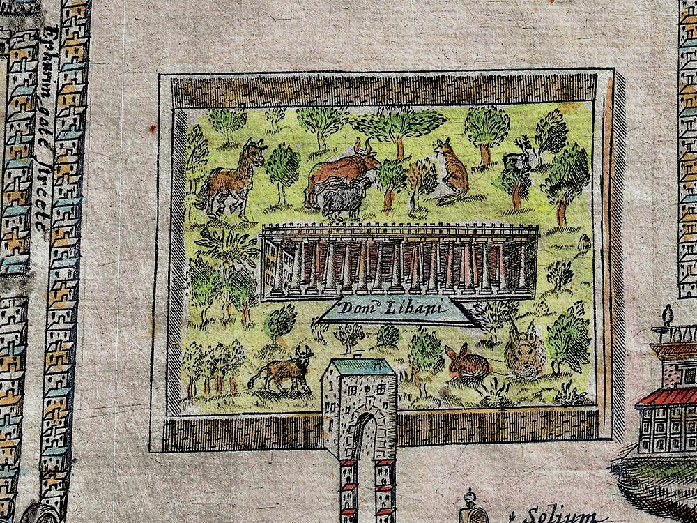
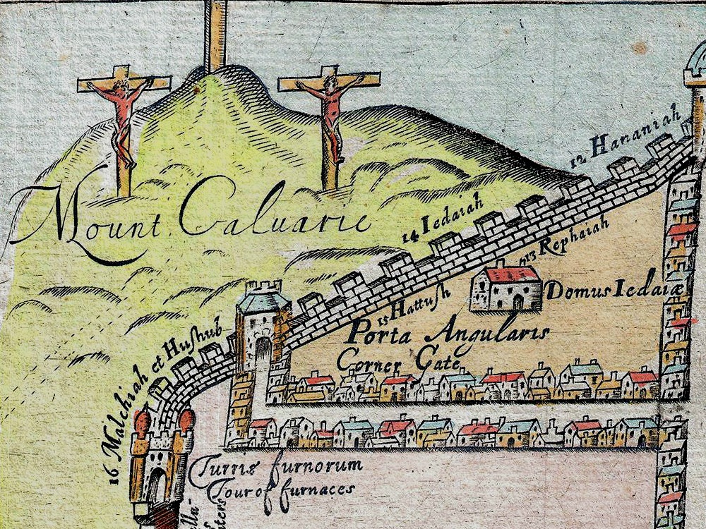
Fuller’s 1650 map of Jerusalem depicts the old walled city of Jerusalem during the reign of the Biblical King Solomon, ca. 961-922 BC. Shown on the map are the Mount of Olives (Montis Oliueti), the Dragon Well, the Fullers Field, the King’s Garden. Despite purportedly being a map of Solomon’s Jerusalem (i.e. before Christ), the map also depicts the Crucifixion on Calvary.
- Stunning Full Colour Reproduction using the Most Advanced Technology Available
- Printed on Museum Matte Archival Paper 310gm
- Unique Conversation Piece for your Home or Business
- Frame not included