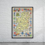
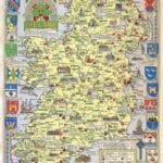
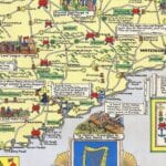
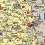
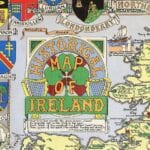
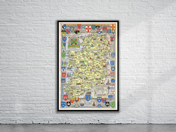
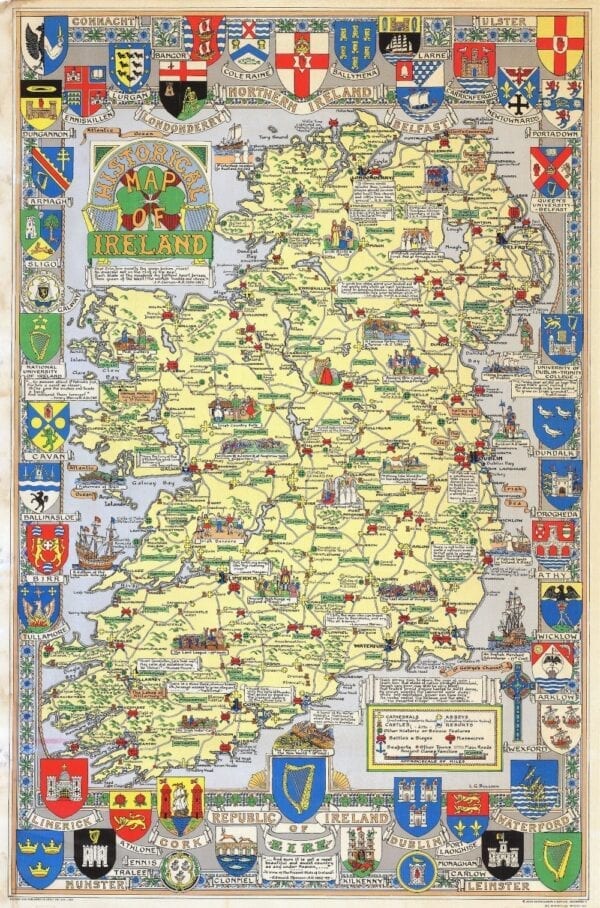
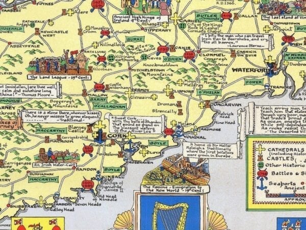
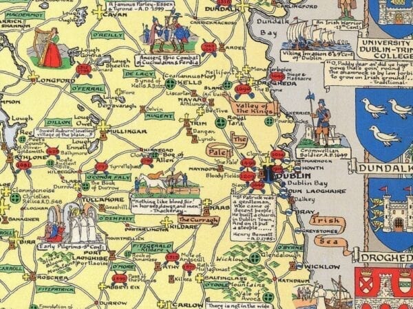
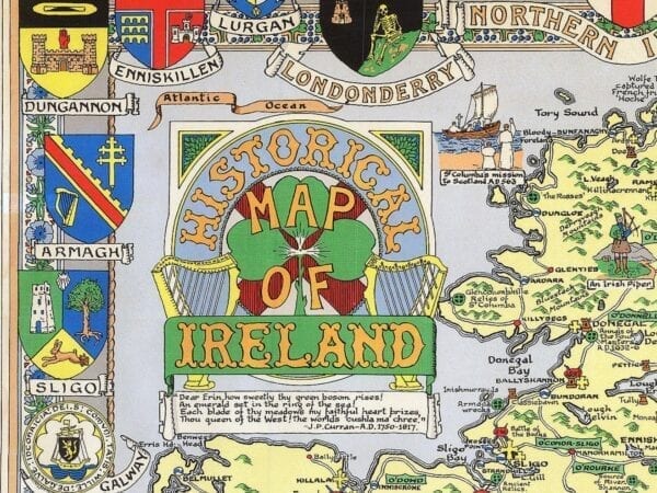
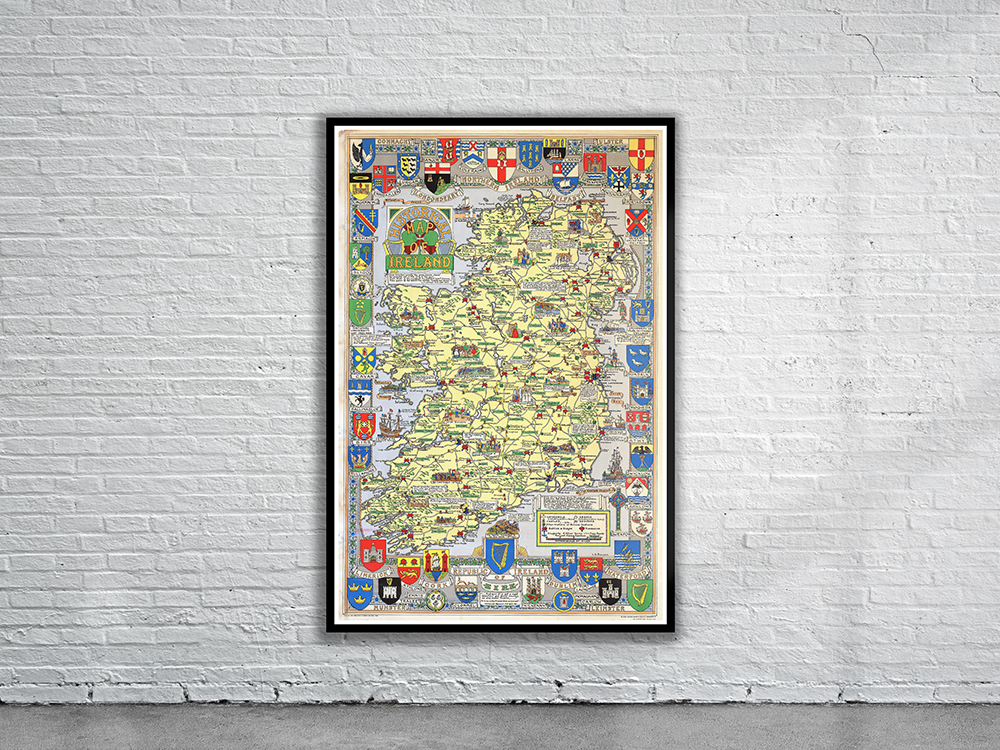
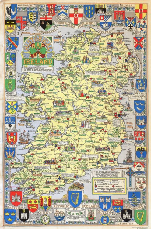
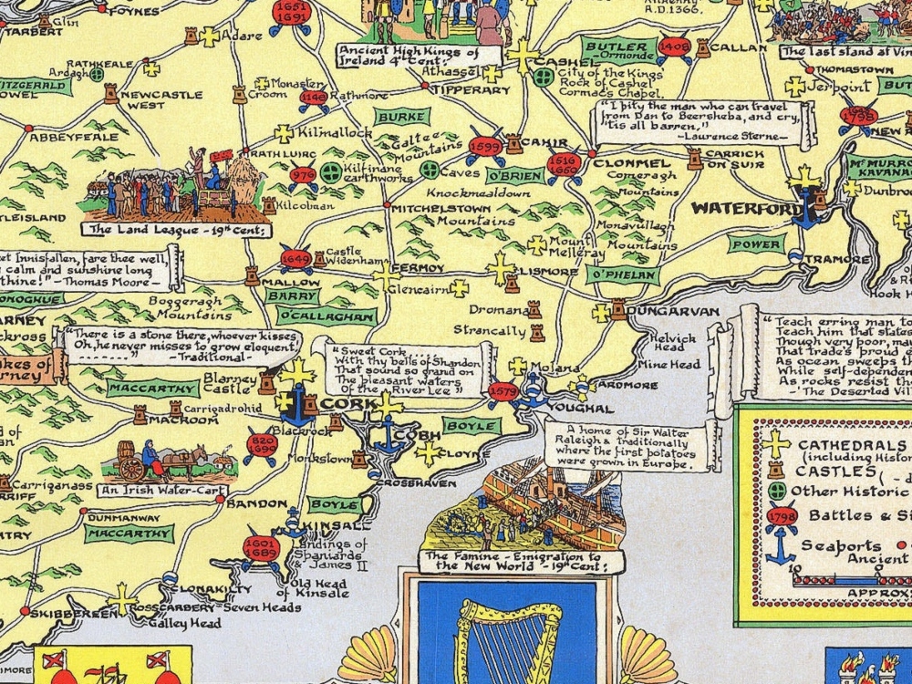
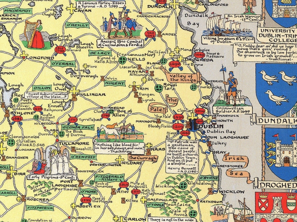
Charming pictorial map of Ireland from 1969 featuring major sites including cathedrals, abbeys, castles, battles & sieges, massacres, sea ports, towns, main roads, ancient clans and families. Surrounding the map are numerous coats-of-arms representing cities and universities.
- Stunning Full Colour Reproduction using the Most Advanced Technology Available
- Printed on Museum Matte Archival Paper 310gm
- Unique Conversation Piece for your Home or Business
- Frame not included