


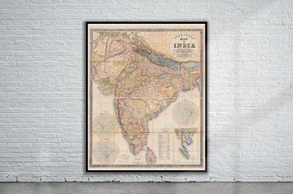


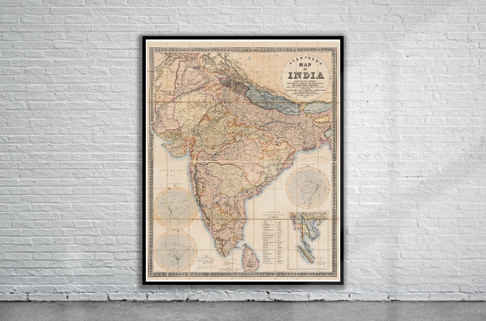
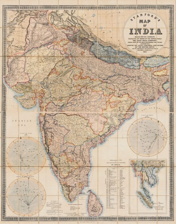
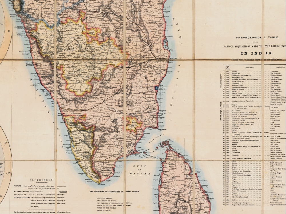
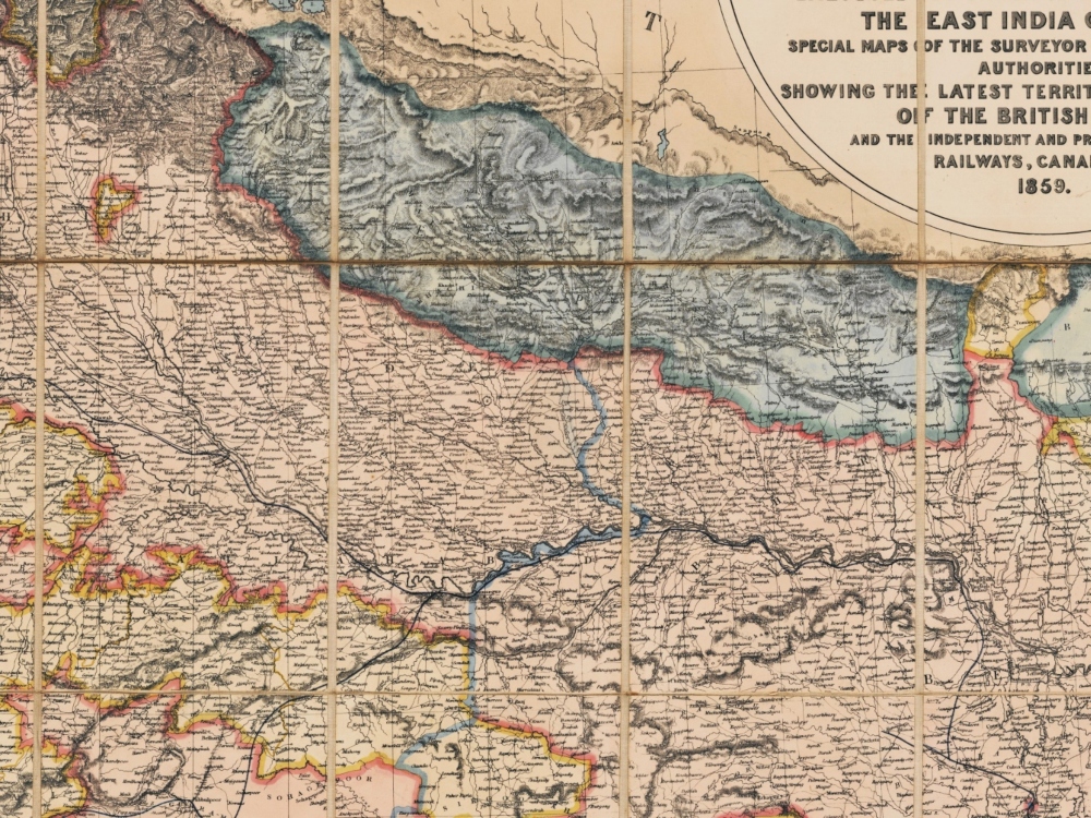
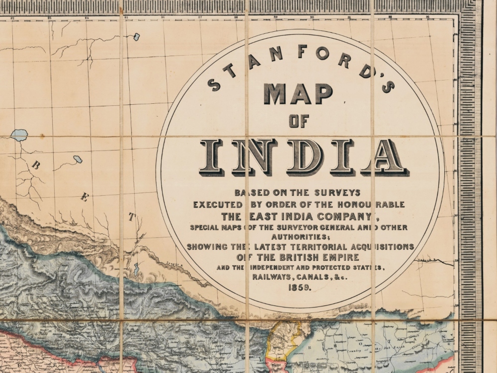
Stanford’s Map of India from 1859. The insets include the Malay Peninsula, Distances and Bearing from Calcutta, Distances and Bearings from Madras, and Distances and Bearings from Bombay.
- Stunning Full Colour Reproduction using the Most Advanced Technology Available
- Printed on Museum Matte Archival Paper 310gm
- Unique Conversation Piece for your Home or Business
- Frame not included