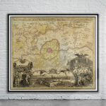
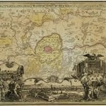

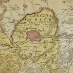
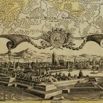
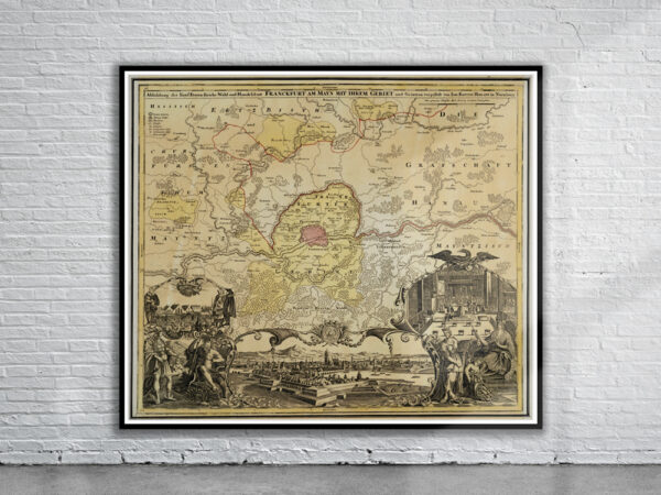
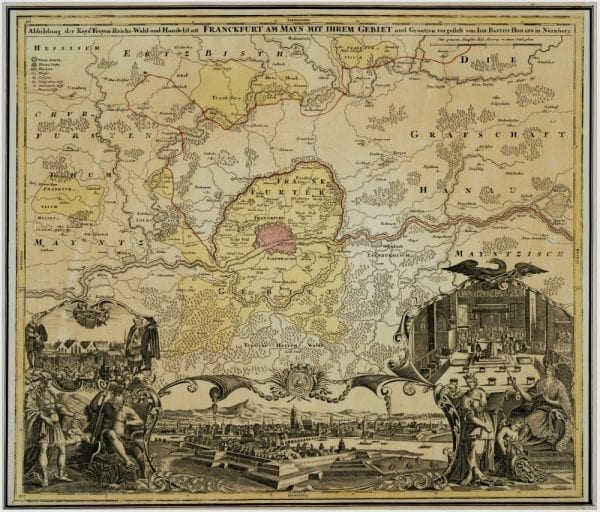

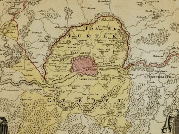
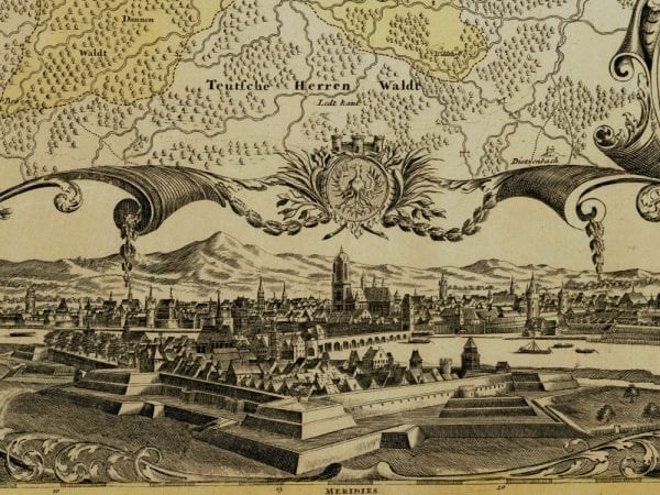
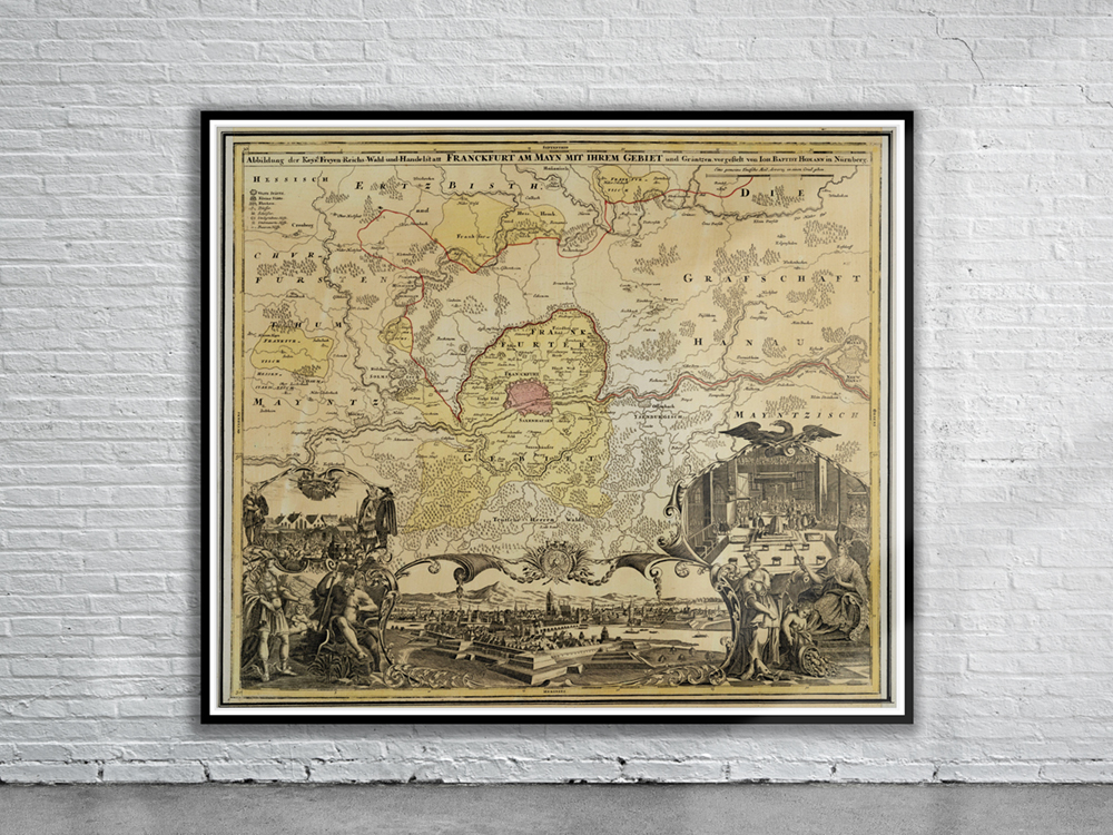
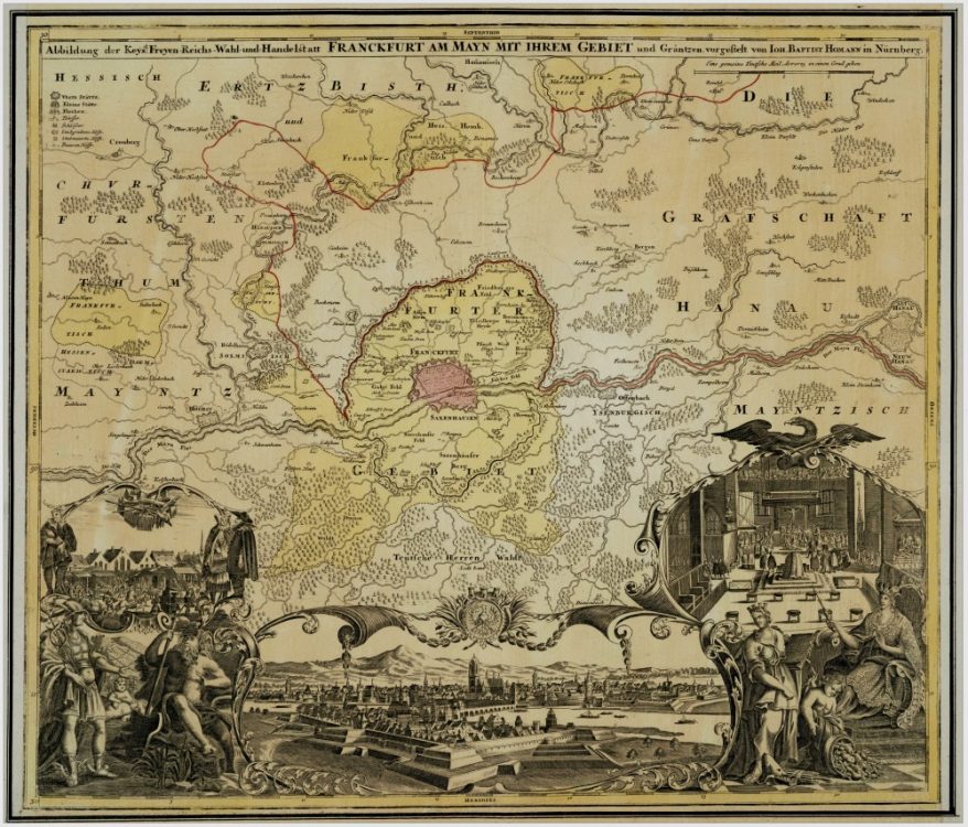
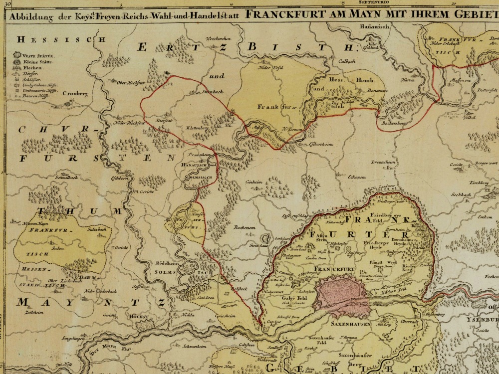
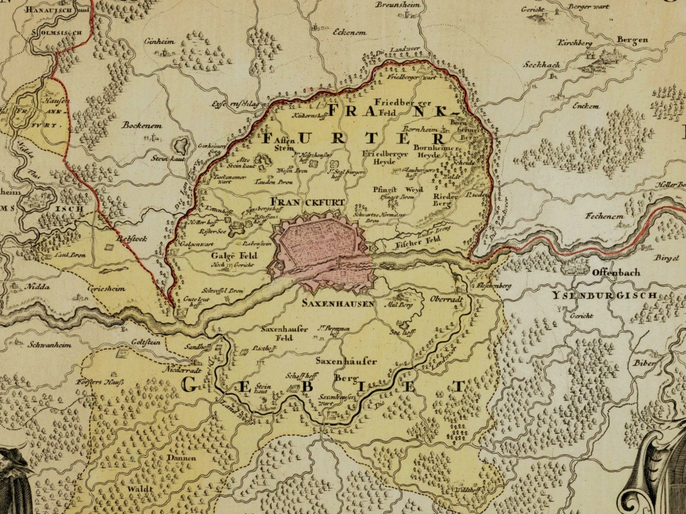
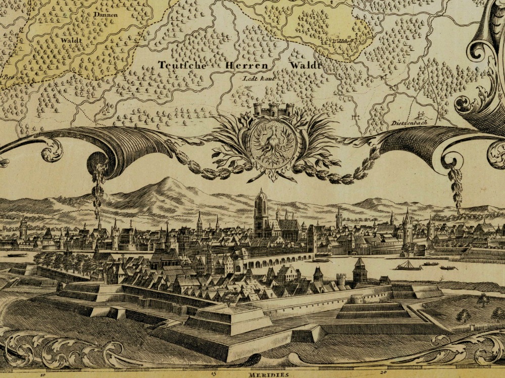
J.B. Homann’s 1720 map of Frankfurt showing the territory and borders of the Free Imperial City of Frankfurt. A view of the city is shown at the bottom of the map. The cartouche on the left shows a market scene while the one on the right shows the crowning of an emperor, Frankfurt being the city where new emperors of the Holy Roman Empire were elected and crowned.
- Stunning Full Colour Reproduction using the Most Advanced Technology Available
- Printed on Museum Matte Archival Paper 310gm
- Unique Conversation Piece for your Home or Business
- Frame not included