
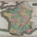
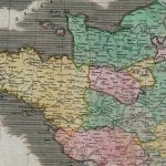

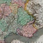
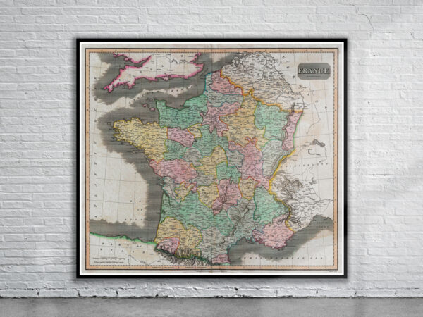
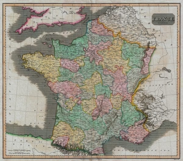


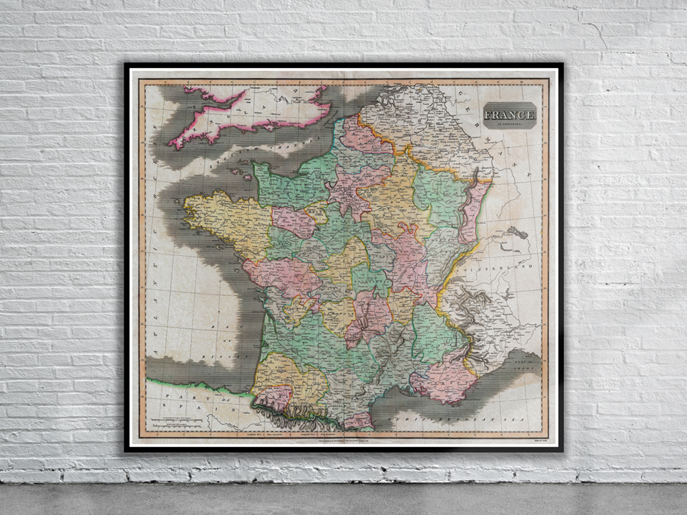
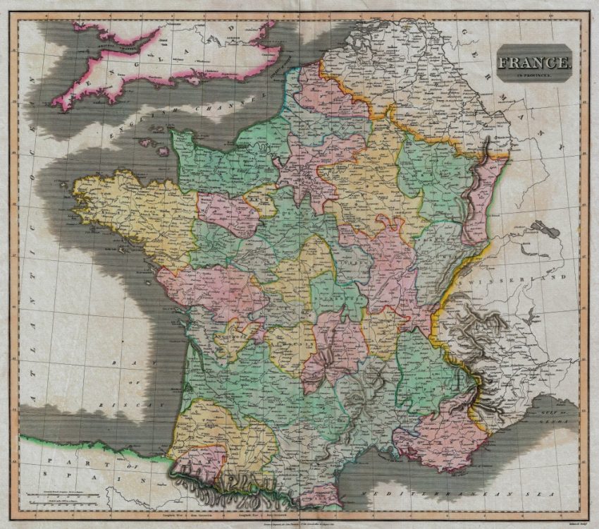
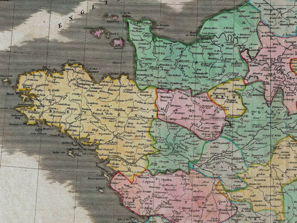
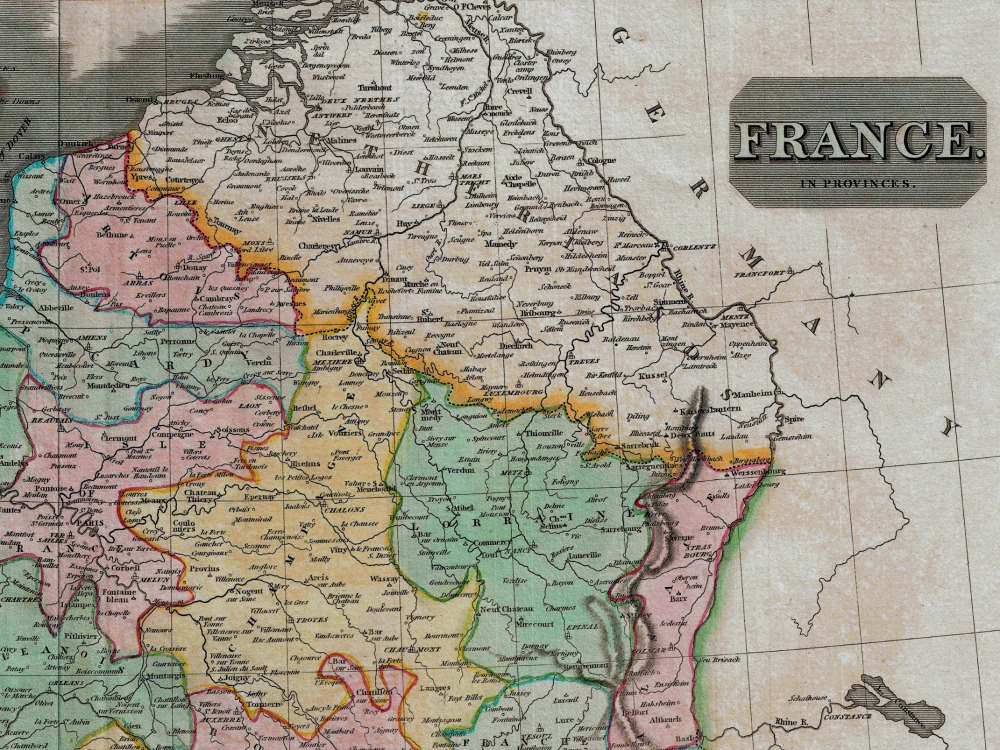
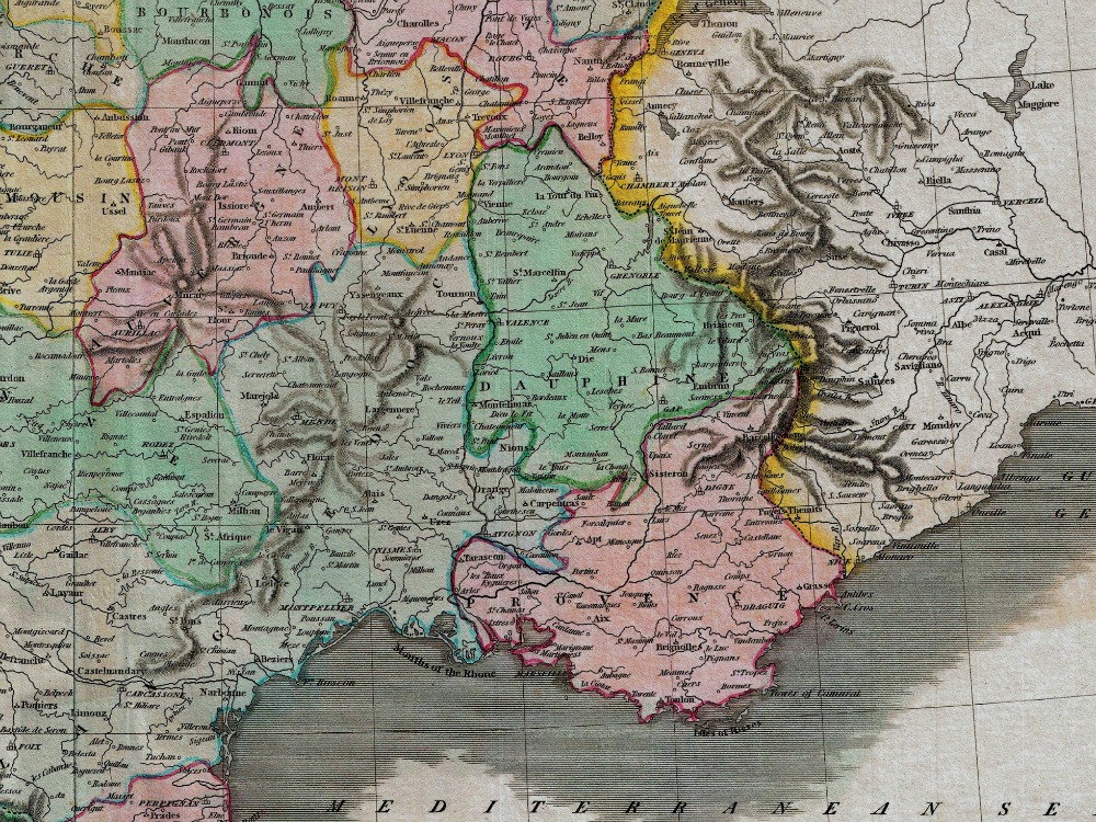
John Thomson’s 1814 map of France. It depicts France divided into its color coded departments. Thomson maps are known for their stunning color, awe inspiring size, and magnificent detail. Thomsons work, including this map, represents some of the finest cartographic art of the 19th century.
- Stunning Full Colour Reproduction using the Most Advanced Technology Available
- Printed on Museum Matte Archival Paper 310gm
- Unique Conversation Piece for your Home or Business
- Frame not included