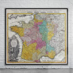
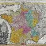
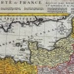
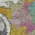
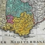

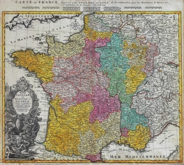


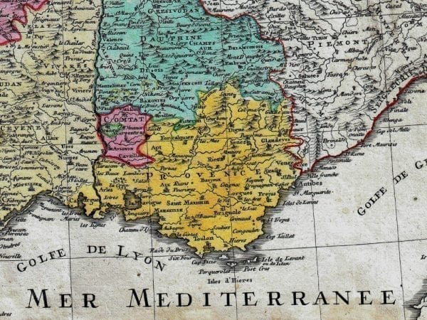
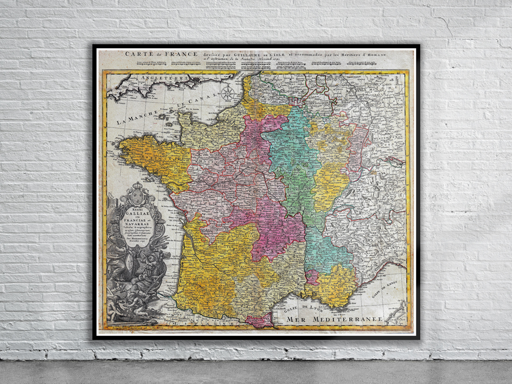
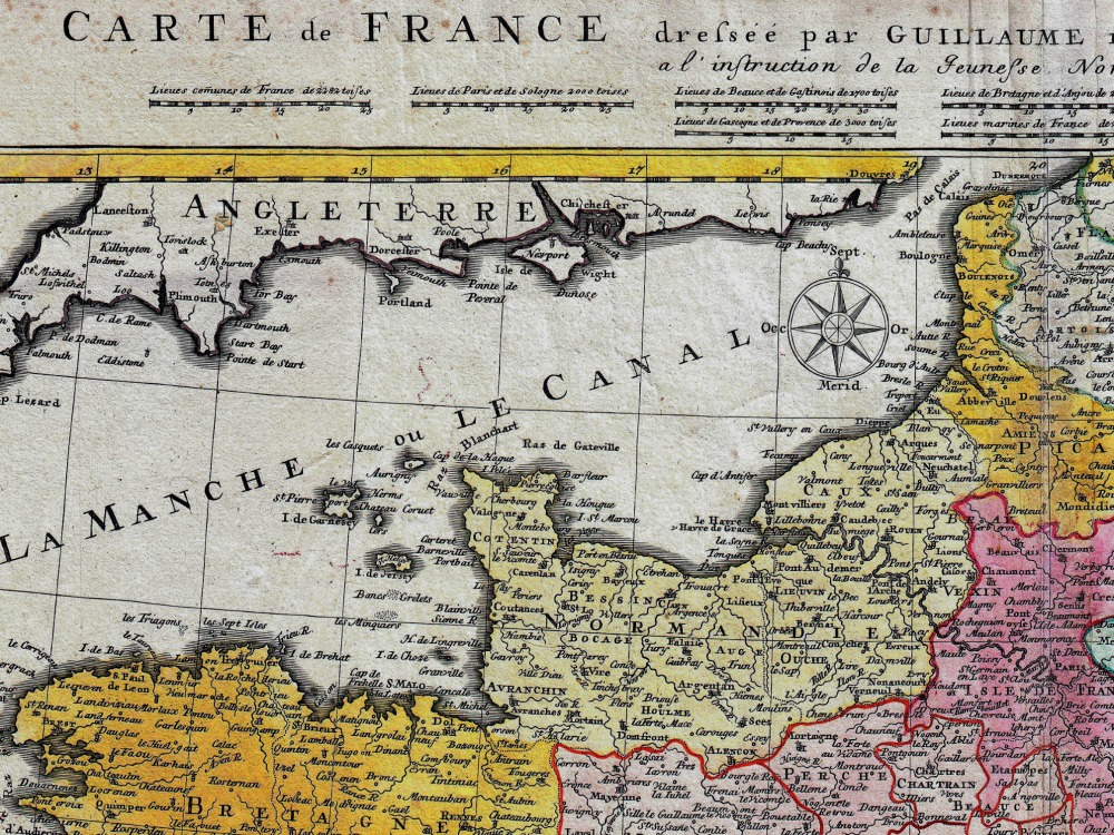
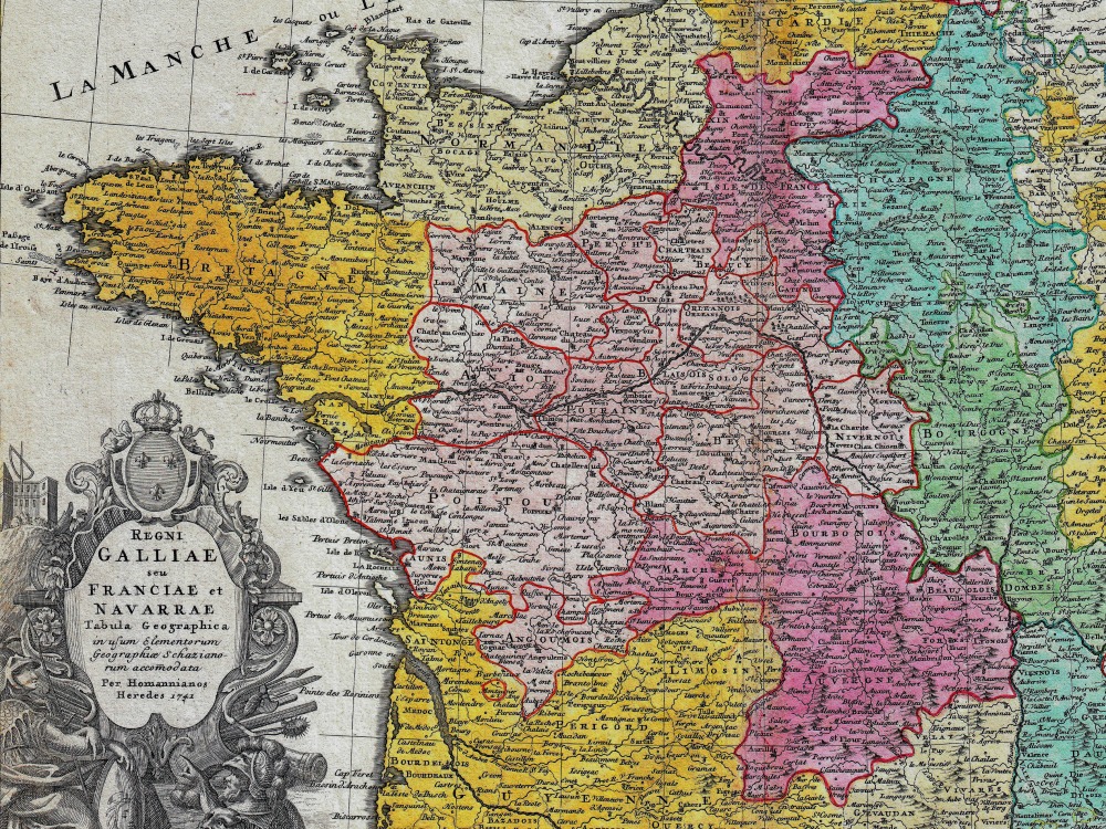
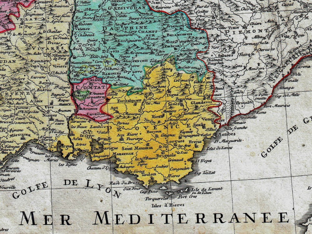
J.B. Homann’s 1741 map of France and parts of Italy, Switzerland, Spain and Germany. The map includes fortified cities, villages, roads, bridges, forests, and castles as they were in the mid-eighteenth century. Also shown are the English Channel and part of England itself as well as the Mediterranean Sea.
- Stunning Full Colour Reproduction using the Most Advanced Technology Available
- Printed on Museum Matte Archival Paper 310gm
- Unique Conversation Piece for your Home or Business
- Frame not included