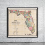
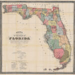
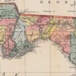
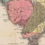

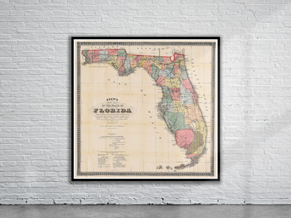
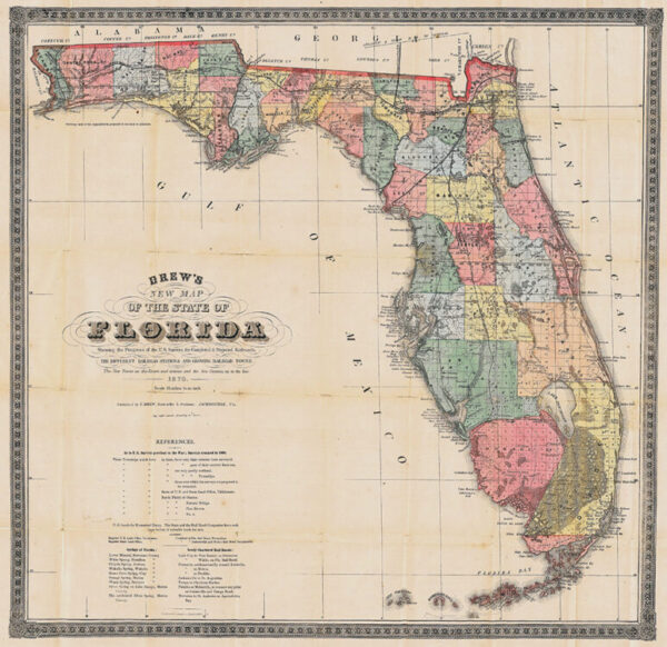
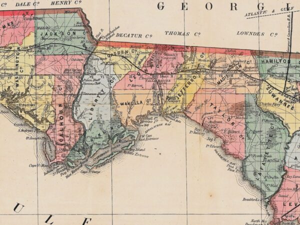
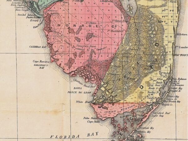
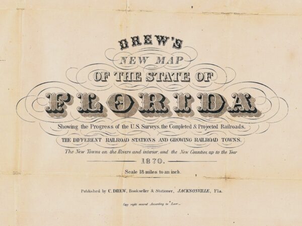
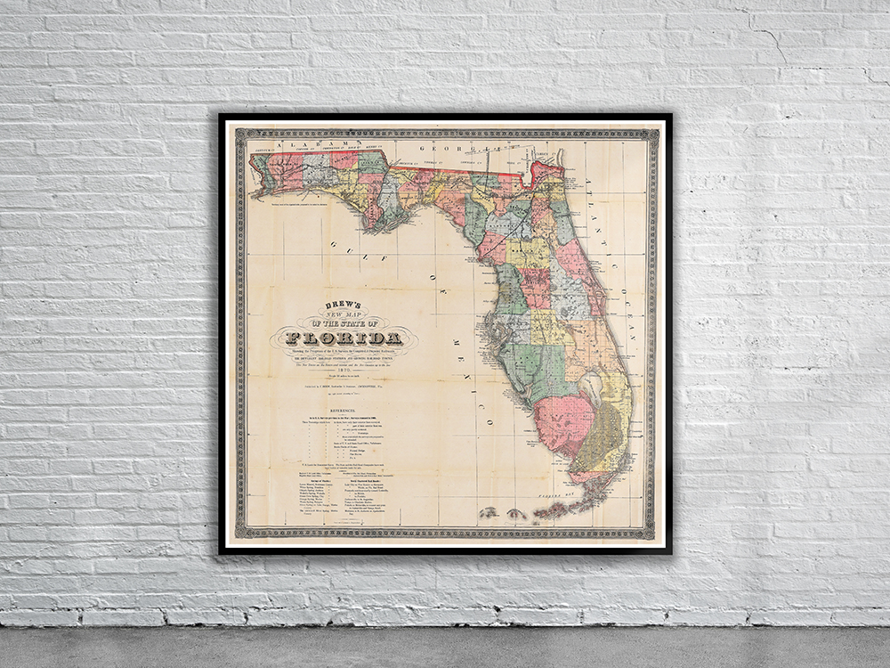
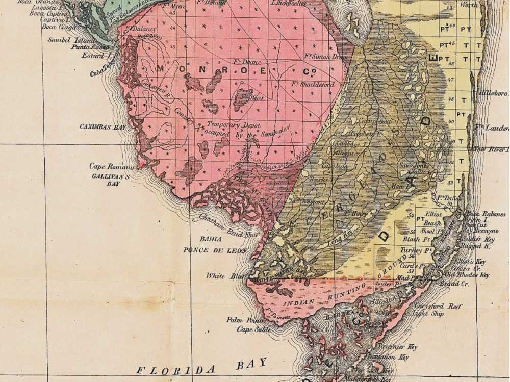
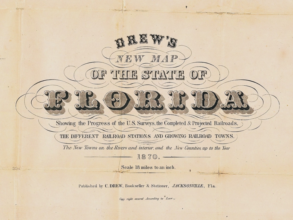
Drew’s Map of Florida from 1870. The Map depicts the major towns of the State of Florida as well as the occupied Native American territories at that time.
- Stunning Full Colour Reproduction using the Most Advanced Technology Available
- Printed on Museum Matte Archival Paper 310gm
- Unique Conversation Piece for your Home or Business
- Frame not included
