
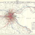

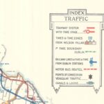
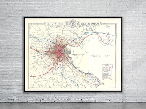
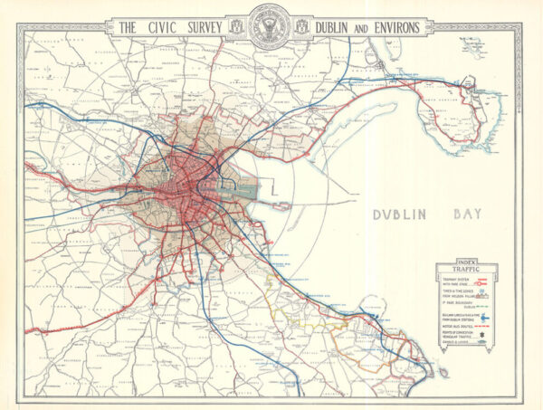

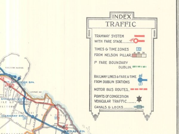
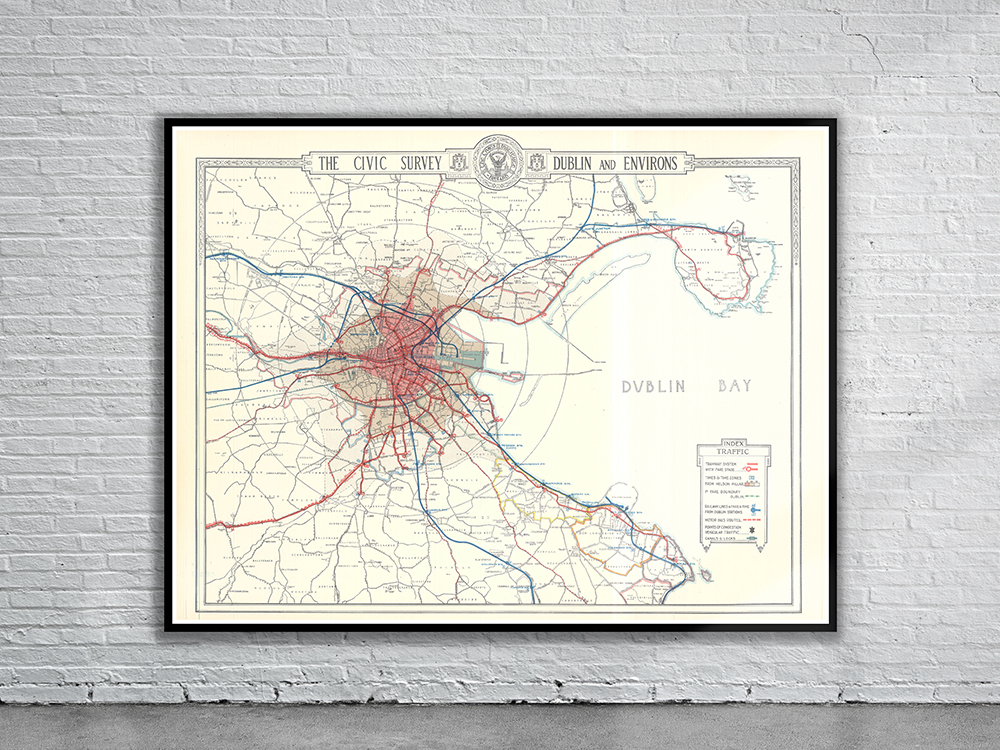
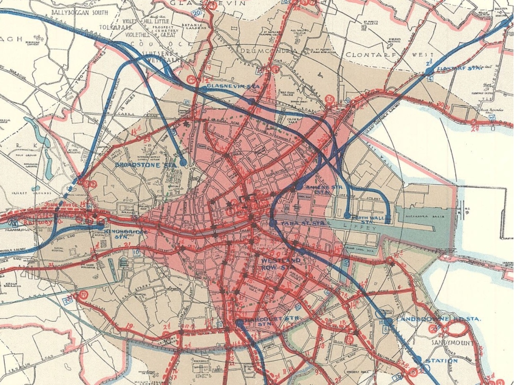
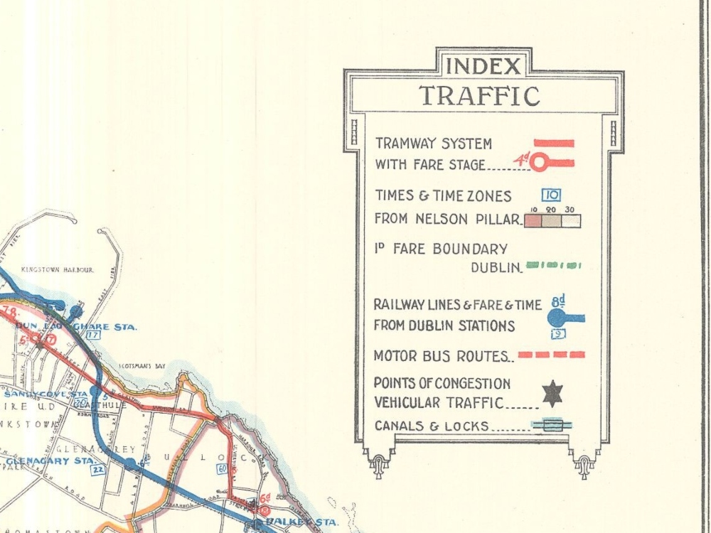
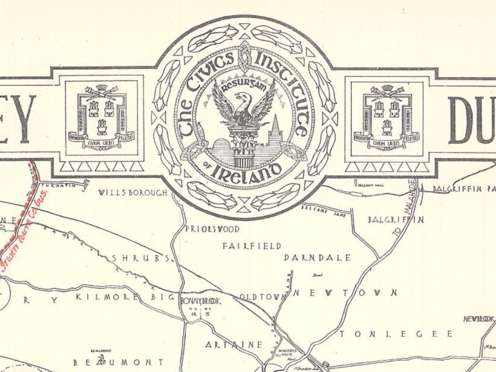
Civic Survey Map of Dublin, Ireland from 1922. The Map shows the suburbs, administrative divisions, as well as the details of the tram systems including the stations, routes, fares, times, and the bus routes of the time.
- Stunning Full Colour Reproduction using the Most Advanced Technology Available
- Printed on Museum Matte Archival Paper 310gm
- Unique Conversation Piece for your Home or Business
- Frame not included