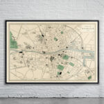
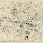
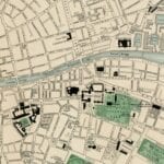
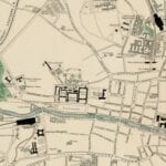
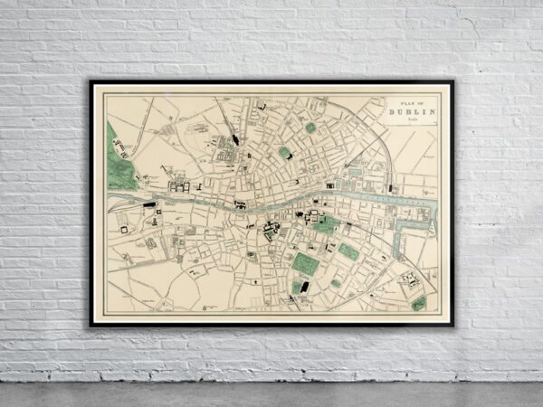
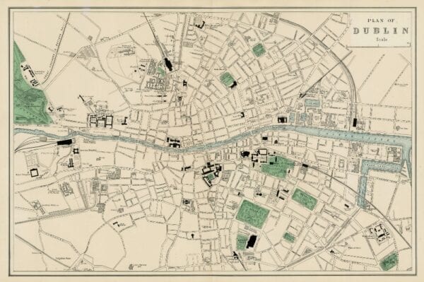
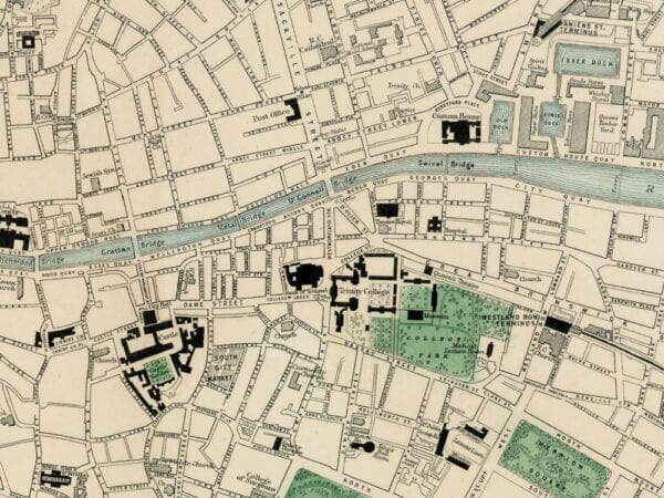
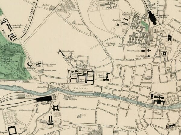
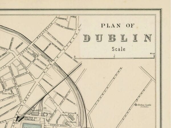
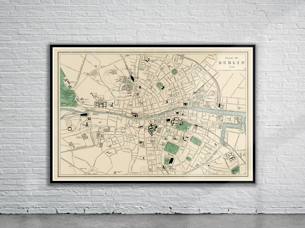
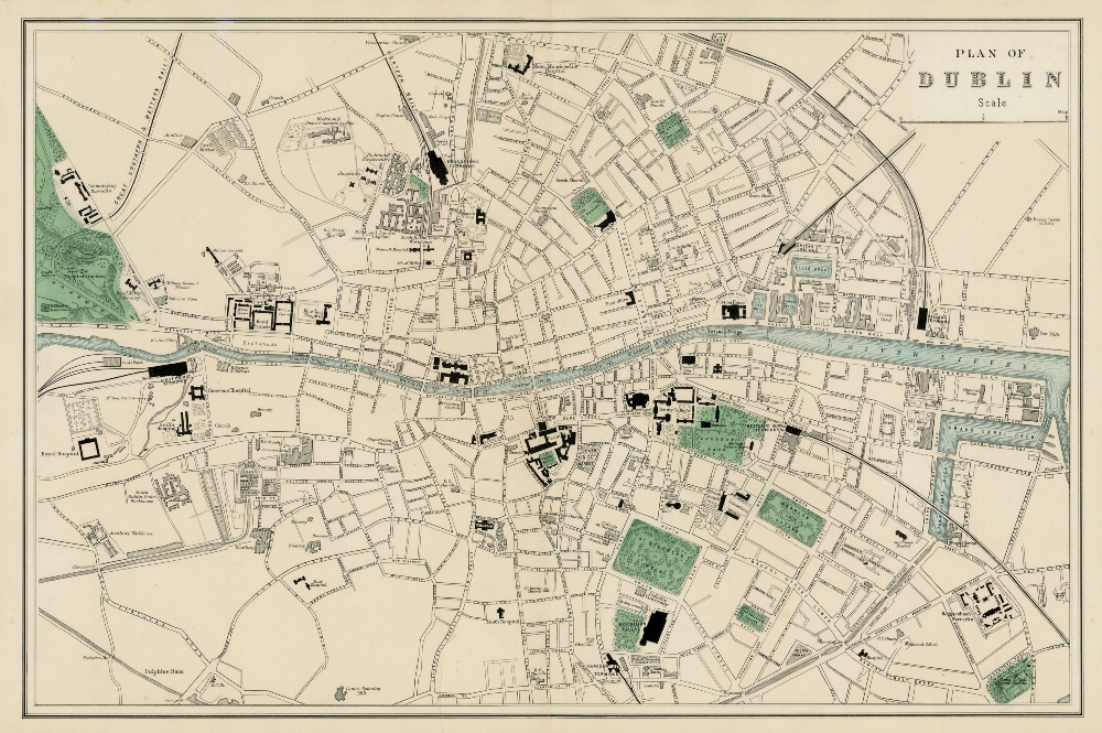
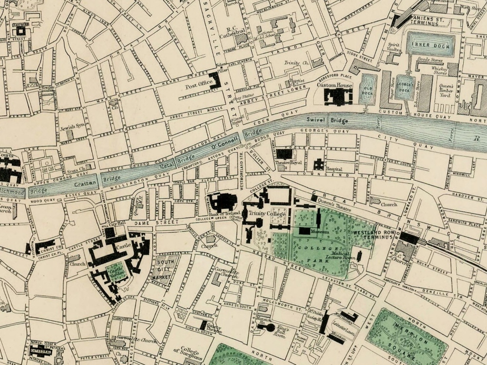
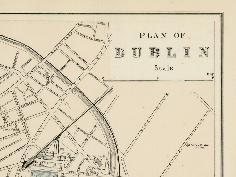
Vintage Map of Dublin from 1880 showing the streets, train stations, parks and major administrative buildings.
- Stunning Full Colour Reproduction using the Most Advanced Technology Available
- Printed on Museum Matte Archival Paper 310gm
- Unique Conversation Piece for your Home or Business
- Frame not included