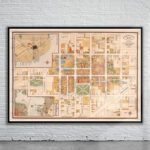
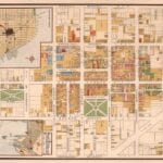
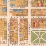
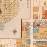
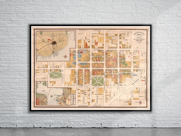
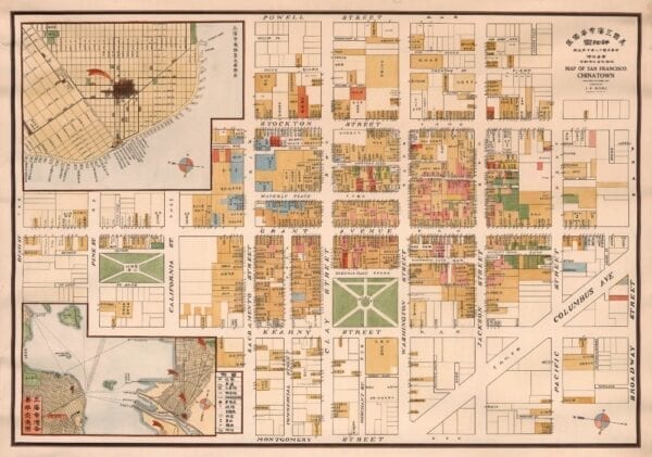
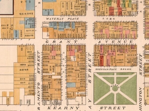
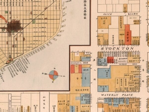
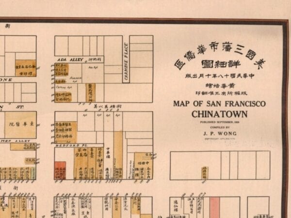
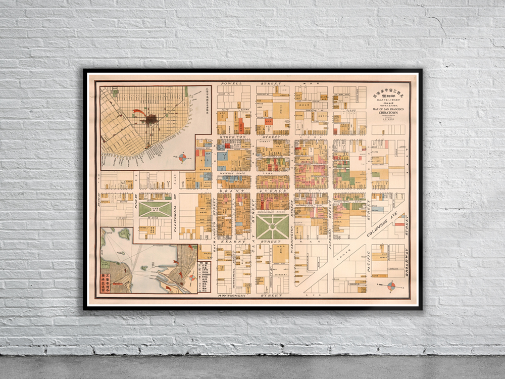
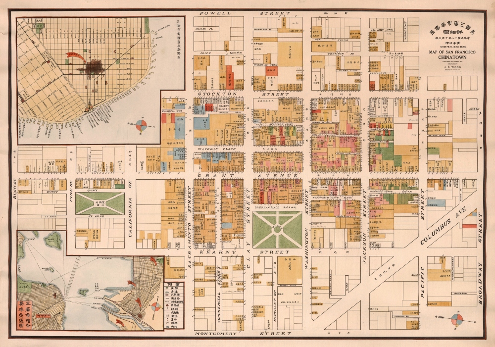
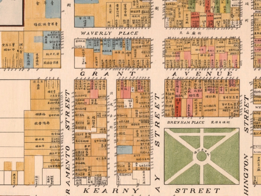
Vintage Map of San Francisco’s Chinatown from 1929. The map depicts the largest Chinatown in North America during the Roaring ’20s, an especially dramatic period in the neighborhood’s history. It shows city blocks and building lots, each with appropriate street address numbers.
- Stunning Full Colour Reproduction using the Most Advanced Technology Available
- Printed on Museum Matte Archival Paper 310gm
- Unique Conversation Piece for your Home or Business
- Frame not included