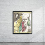
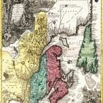
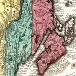

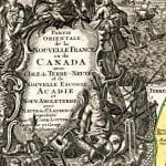
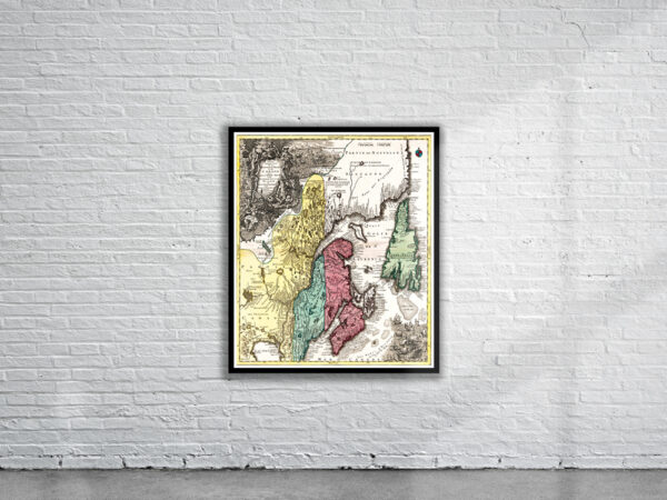
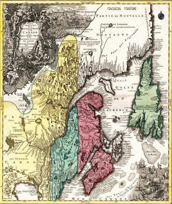

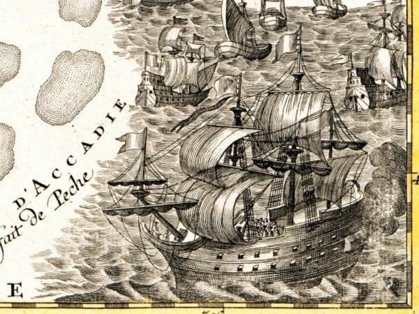
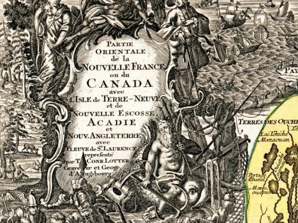
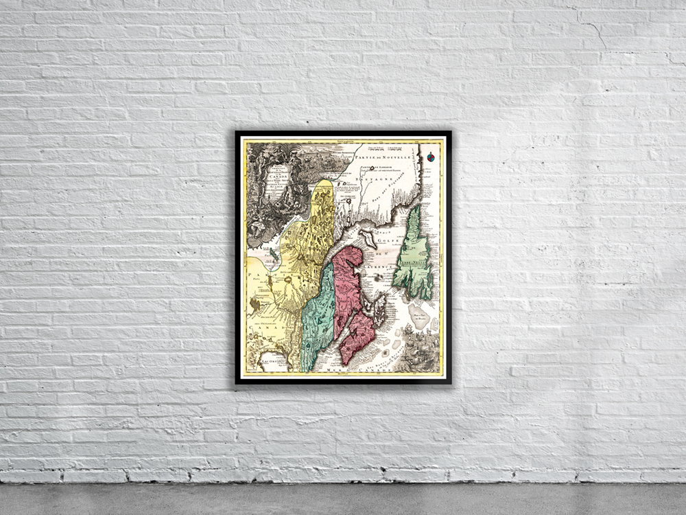
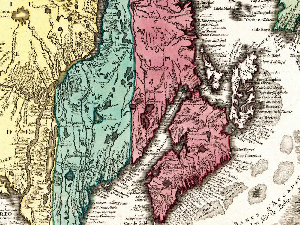
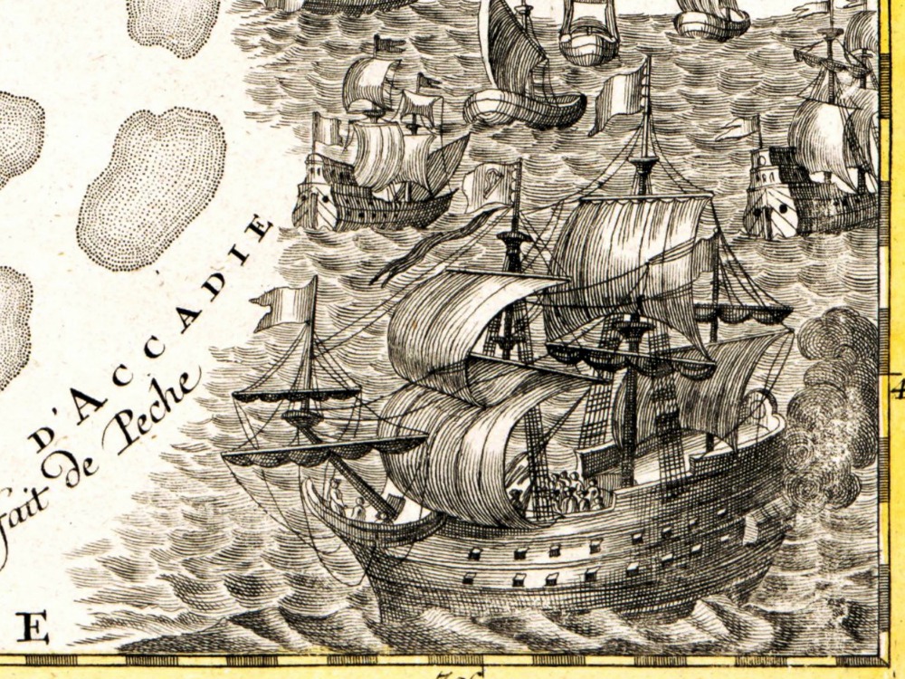
Seutter and Lotter’s maritime map of Canada showing North-Eastern Canada, including Nova Scotia, Labrador and Newfoundland. The map shows the St. Lawrence River running nearly north-south. At top left is a cartouche featuring Indian chiefs, explorers, mapmakers, a fleet of ships, fishermen and wildlife.
- Stunning Full Colour Reproduction using the Most Advanced Technology Available
- Printed on Museum Matte Archival Paper 310gm
- Unique Conversation Piece for your Home or Business
- Frame not included