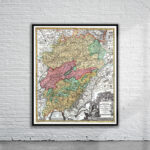
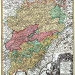
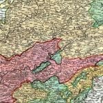
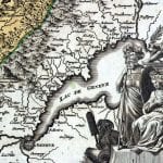
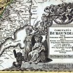

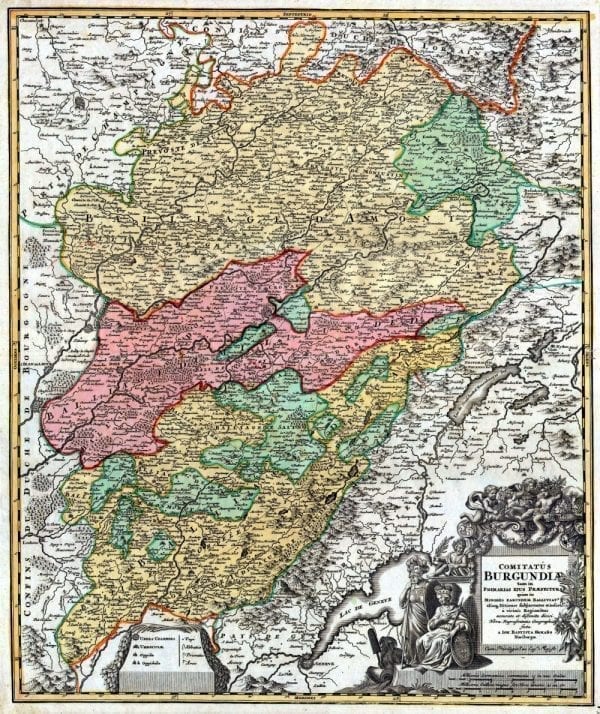
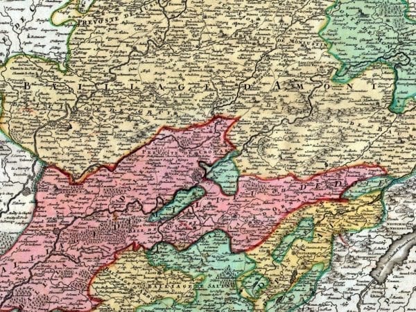
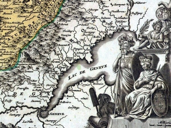
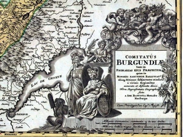
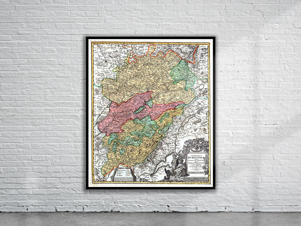
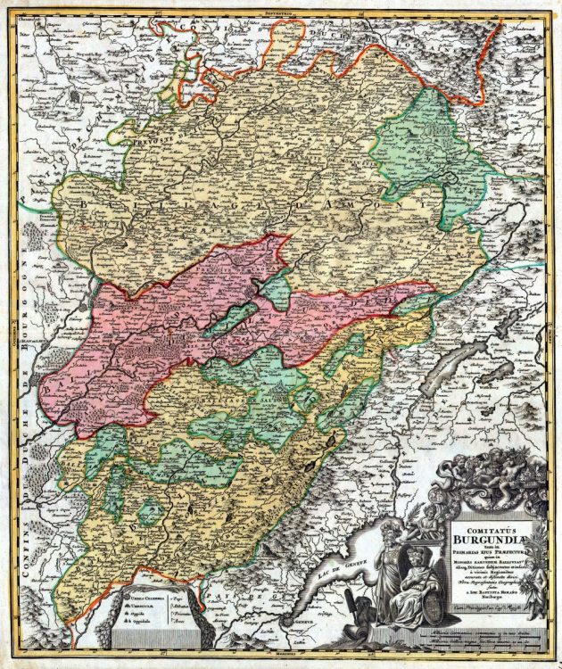
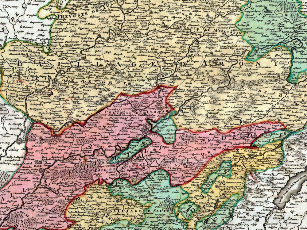
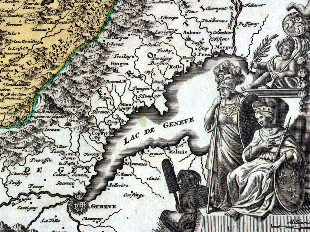
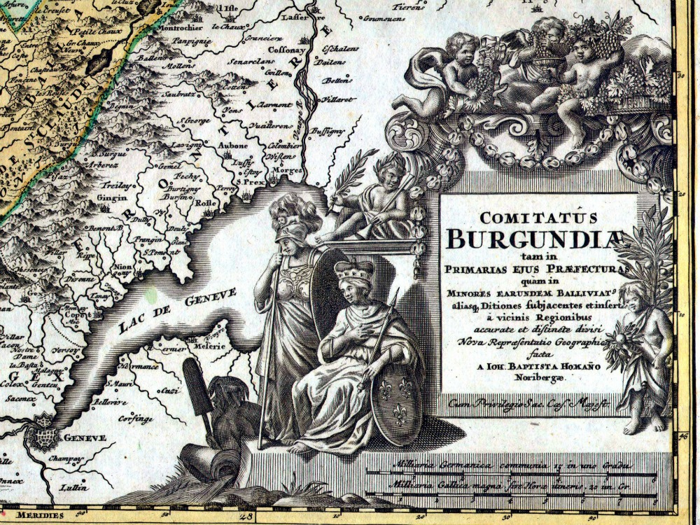
J.B. Homanns 1716 map of Burgundy, one of Frances most important wine regions. Extends to include Lake Geneva in the southwest, Lorraine in the north, Champaigne (Champagne) and Angers to the northwest and Bourgogne to the west. Depicts mountains, forests, castles, and fortifications and features an elaborate title cartouche decorated with cherub winemakers in the bottom right.
- Stunning Full Colour Reproduction using the Most Advanced Technology Available
- Printed on Museum Matte Archival Paper 310gm
- Unique Conversation Piece for your Home or Business
- Frame not included