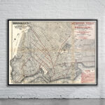
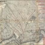
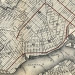
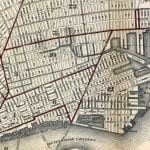
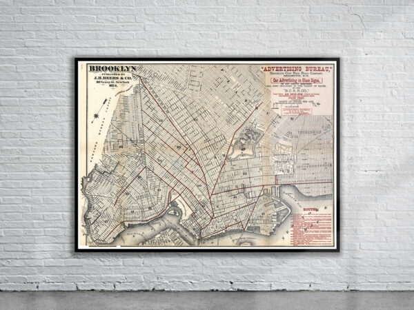
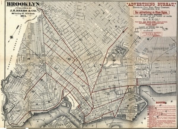
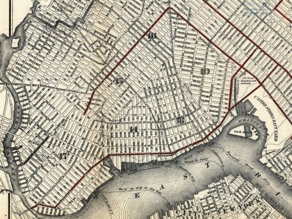
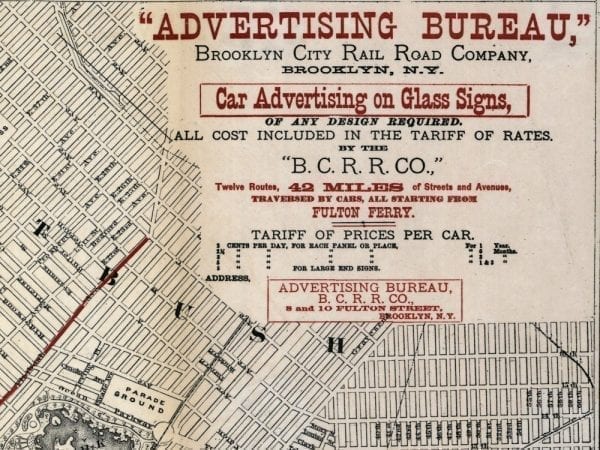
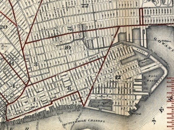
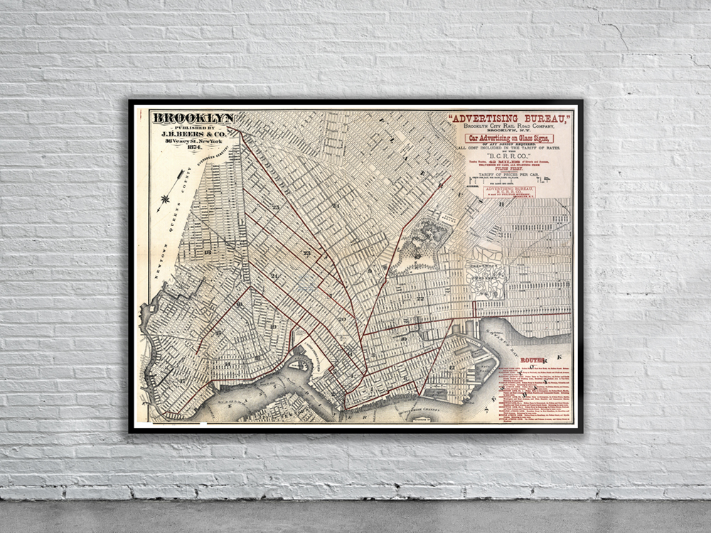
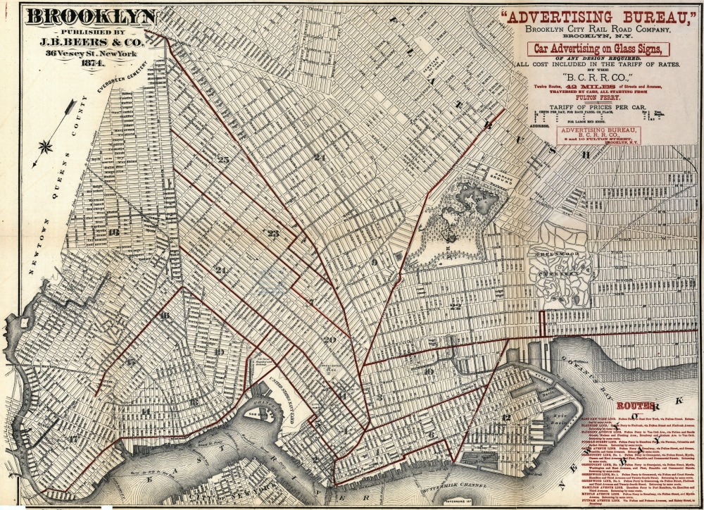
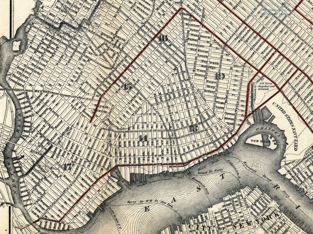
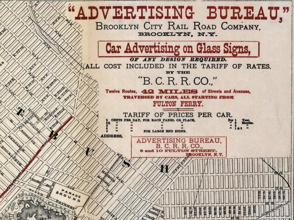
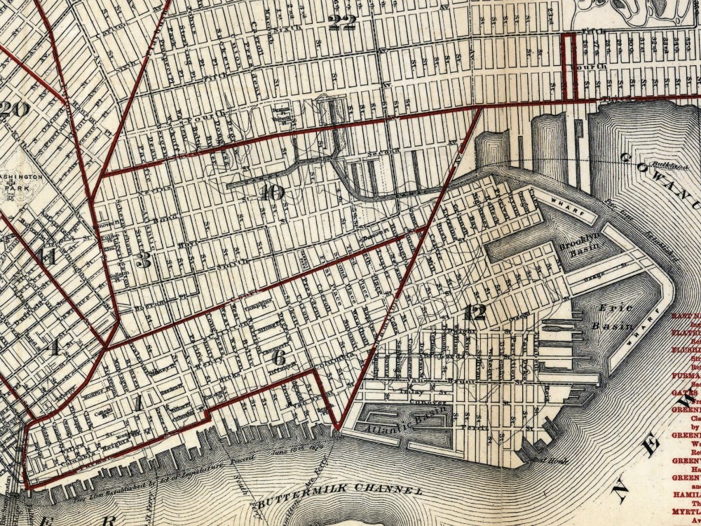
Street Map of Brooklyn from 1874 showing the early street layout of the borough and the East River.
- Stunning Full Colour Reproduction using the Most Advanced Technology Available
- Printed on Museum Matte Archival Paper 310gm
- Unique Conversation Piece for your Home or Business
- Frame not included