
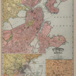

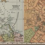


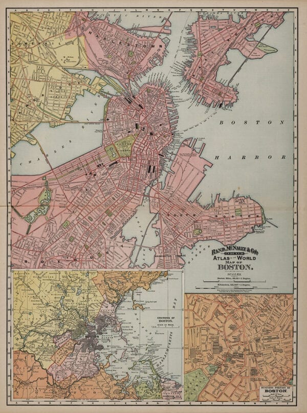
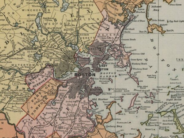

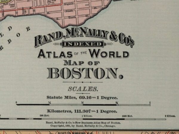
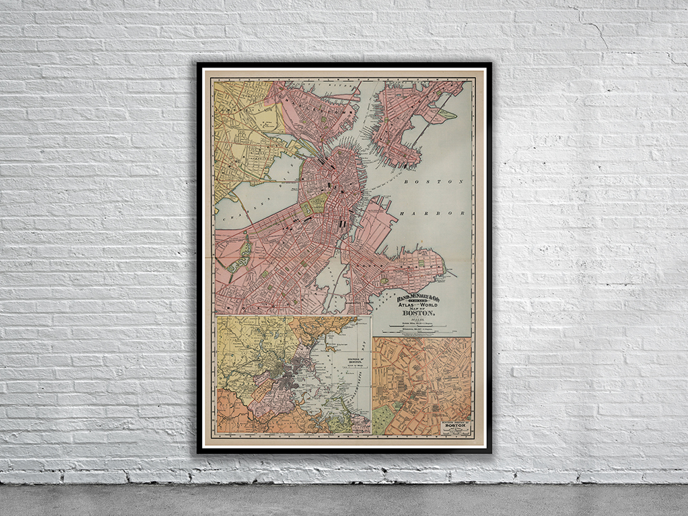
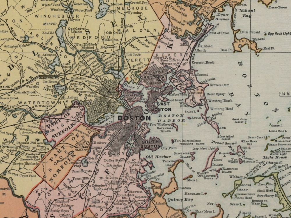
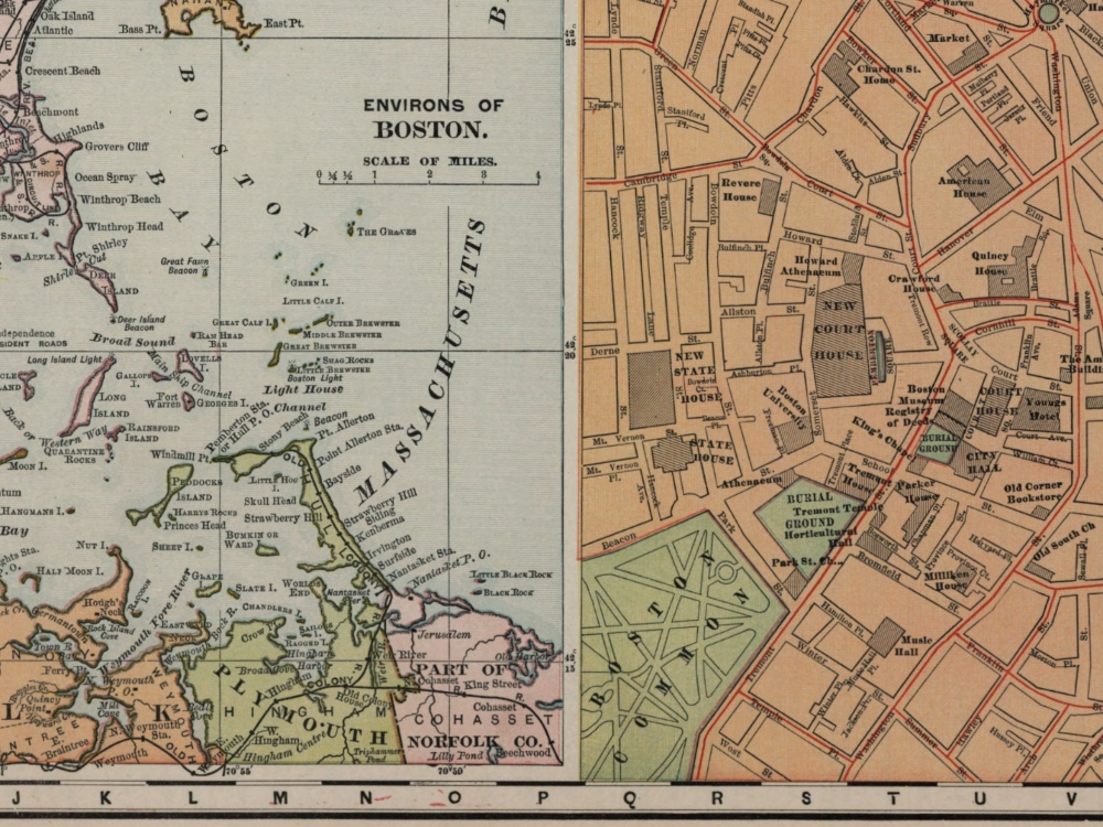
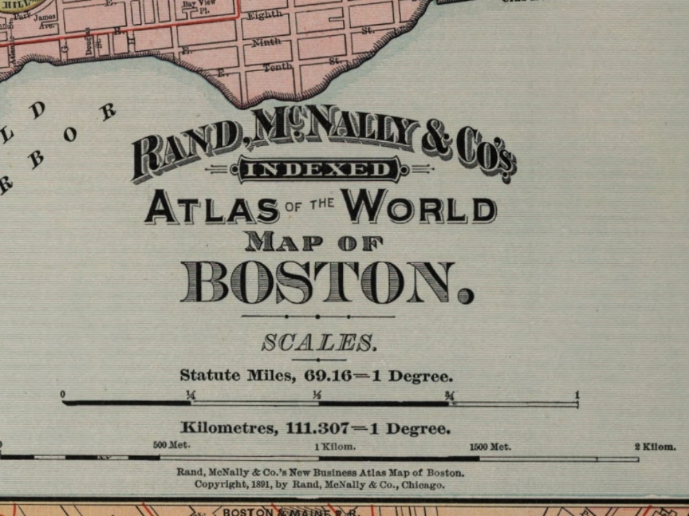
An 1891 Map of the City of Boston by Rand McNally. The map depicts parks, piers, railways and ferry lines as well as many individual streets and buildings.
- Stunning Full Colour Reproduction using the Most Advanced Technology Available
- Printed on Museum Matte Archival Paper 310gm
- Unique Conversation Piece for your Home or Business
- Frame not included