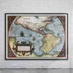
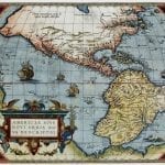
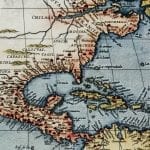

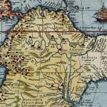
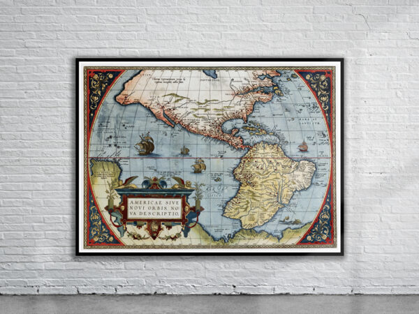


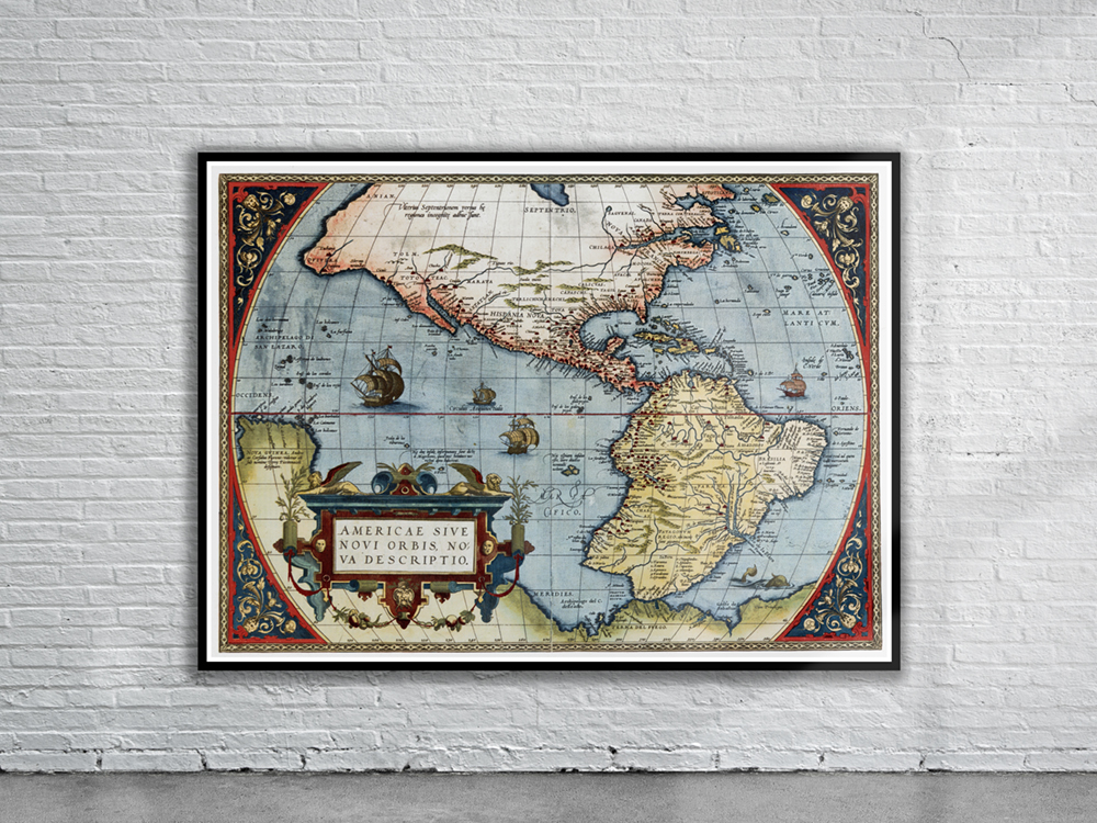
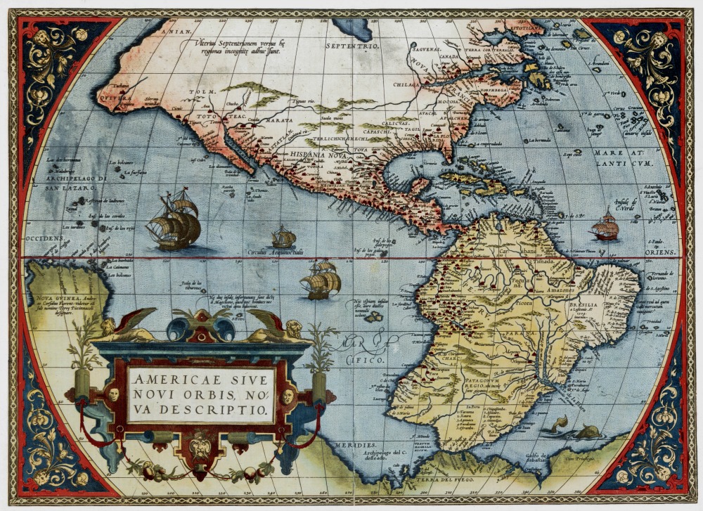
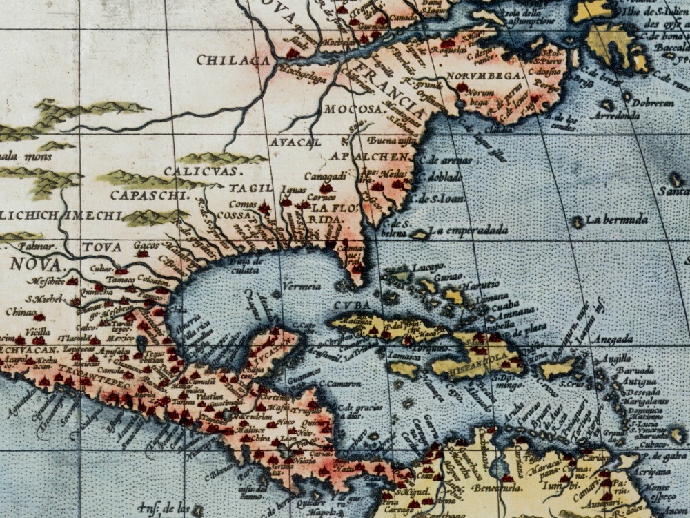
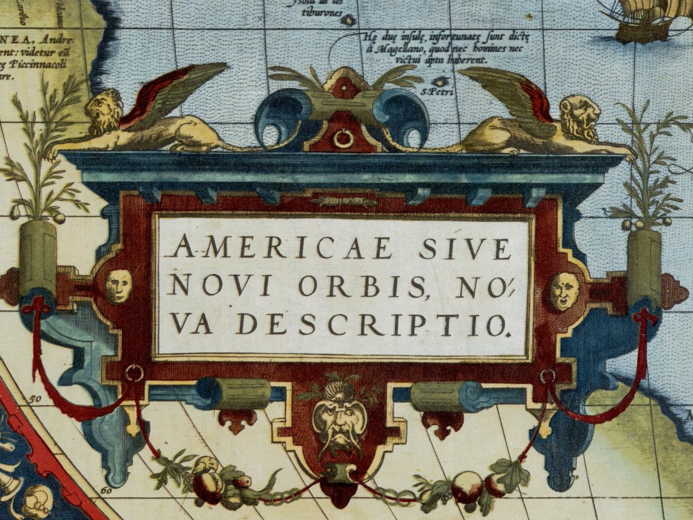
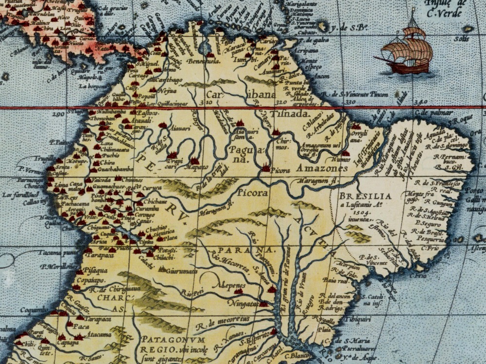
Ortelius’s 1570 map of the Americas from the Theatrum Orbis Therarum, the world’s first atlas. The Straits of Magellan, discovered by the Portuguese navigator on 1 November 1520, are shown between South America and the large southern continent (Modern day Antarctica).
- Stunning Full Colour Reproduction using the Most Advanced Technology Available
- Printed on Museum Matte Archival Paper 310gm
- Unique Conversation Piece for your Home or Business
- Frame not included