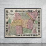
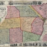
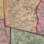
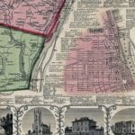
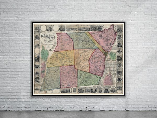
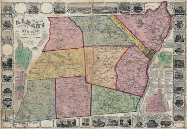

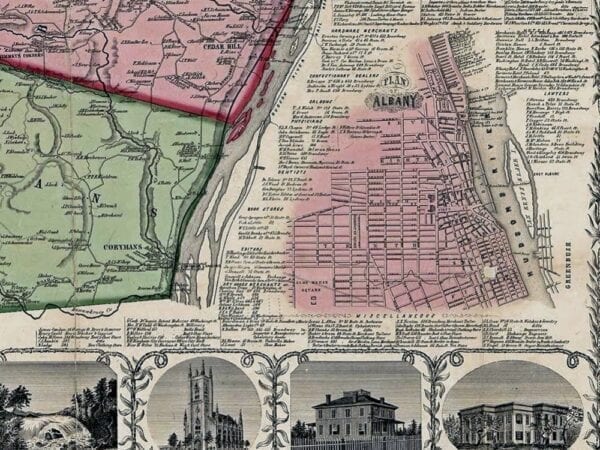
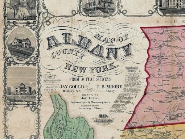
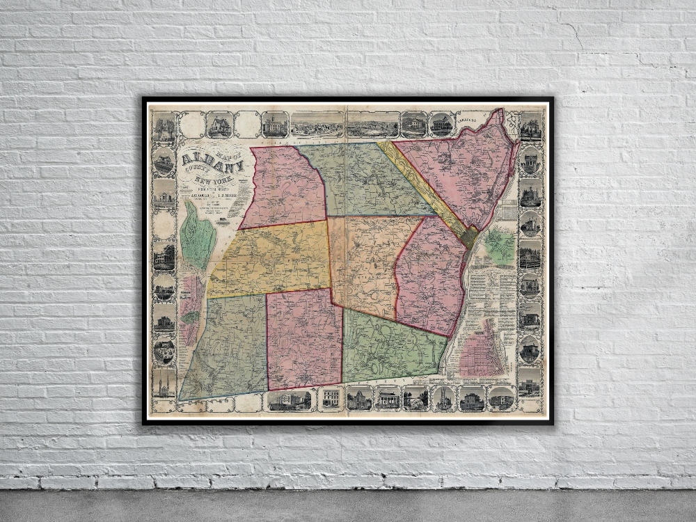
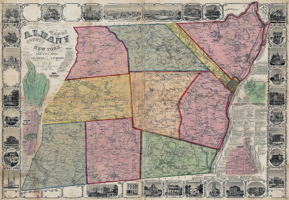
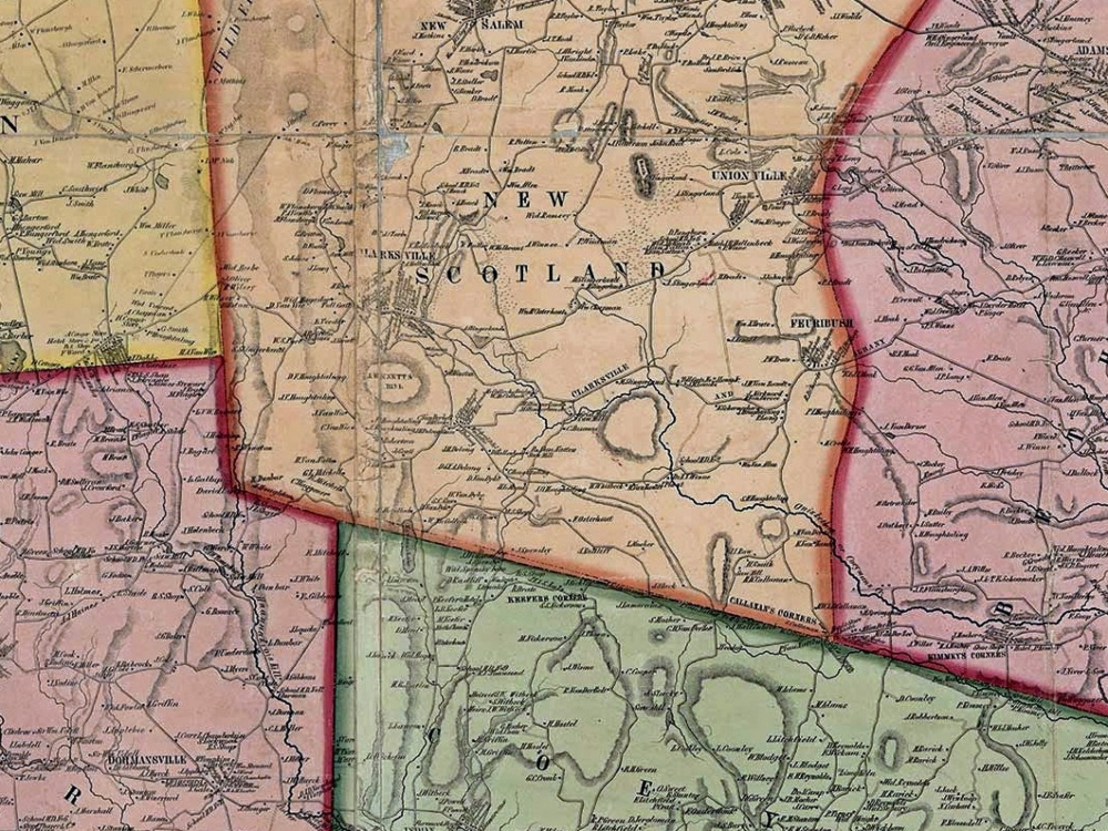
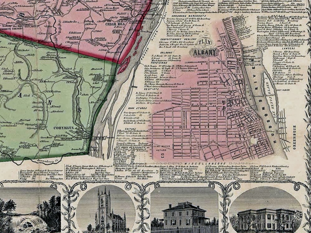
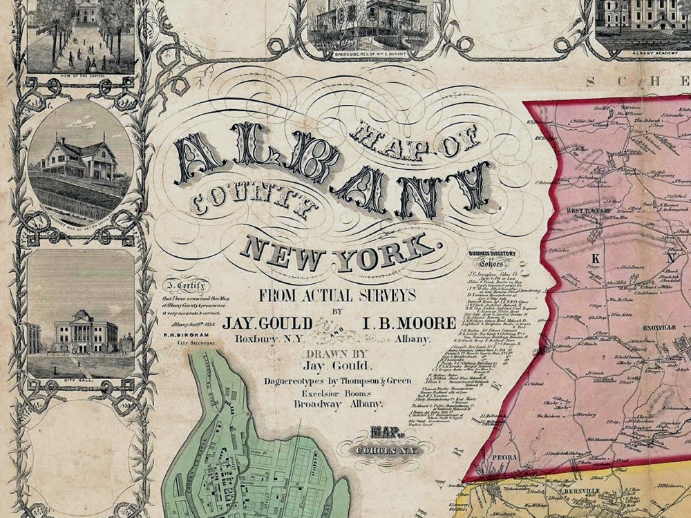
Vintage Map of Albany County, New York from 1854. The map includes ancillary maps of Albany, Rennselaerville, Cohoes, and the village of West Troy, a statistical chart, business directories and various illustrations.
- Stunning Full Colour Reproduction using the Most Advanced Technology Available
- Printed on Museum Matte Archival Paper 310gm
- Unique Conversation Piece for your Home or Business
- Frame not included