
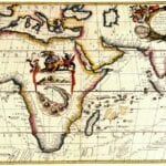
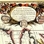
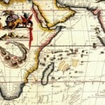
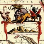
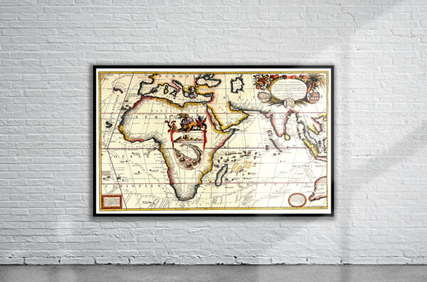
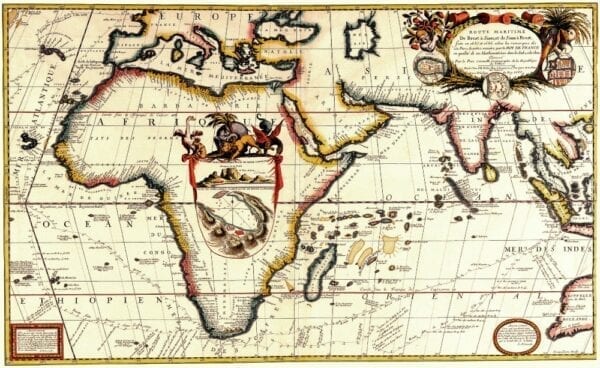
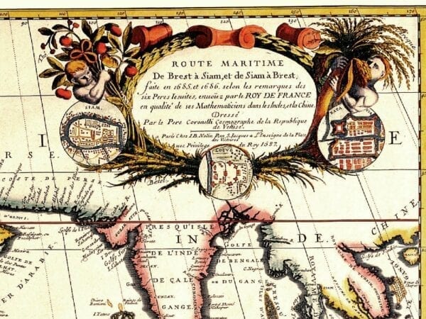
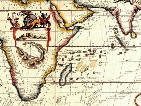
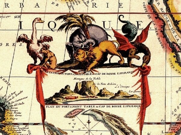
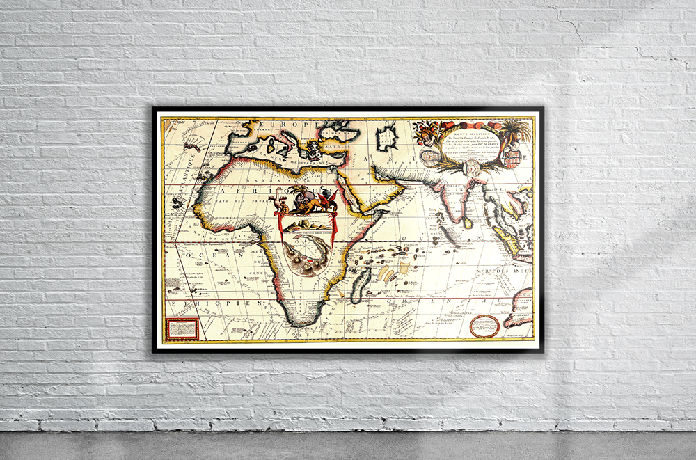
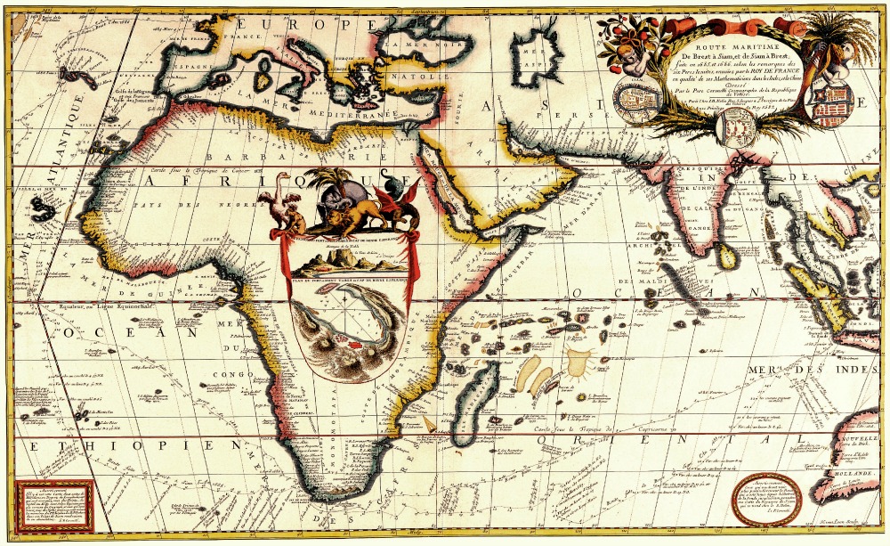
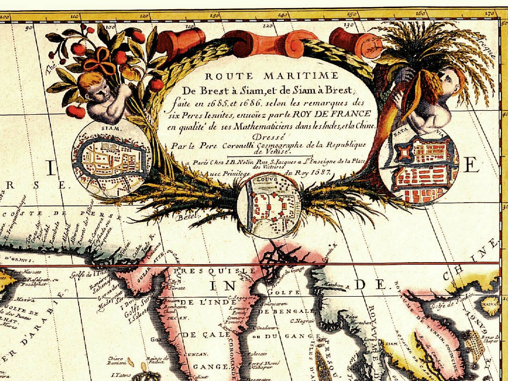
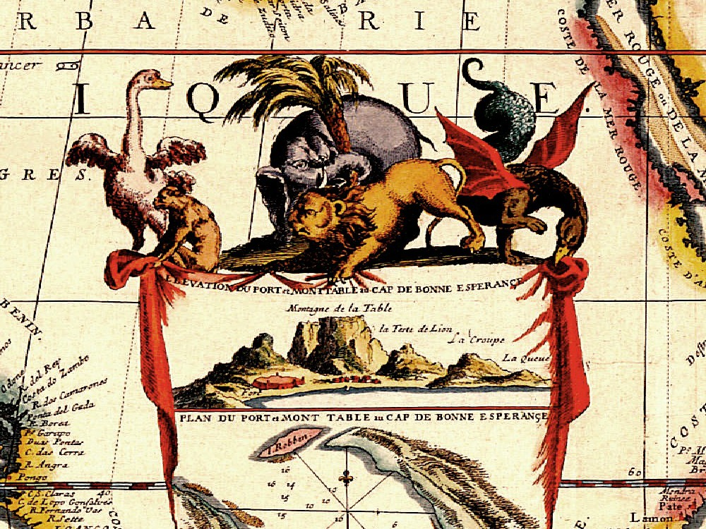
Coronelli’s “Route Maritime” Map of Africa and Southern Europe depicting the major shipping routes of the period. The Inset shows a plan of Capetown including Robben Island and a description of Table Mountain.
- Stunning Full Colour Reproduction using the Most Advanced Technology Available
- Printed on Museum Matte Archival Paper 310gm
- Unique Conversation Piece for your Home or Business
- Frame not included