
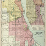


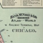
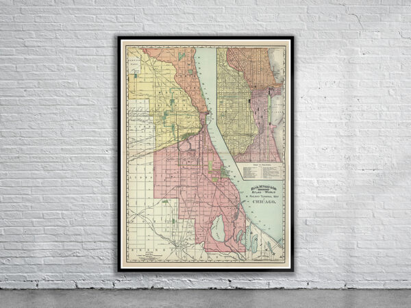

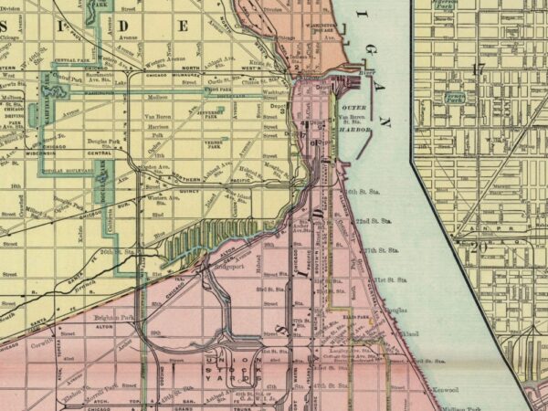
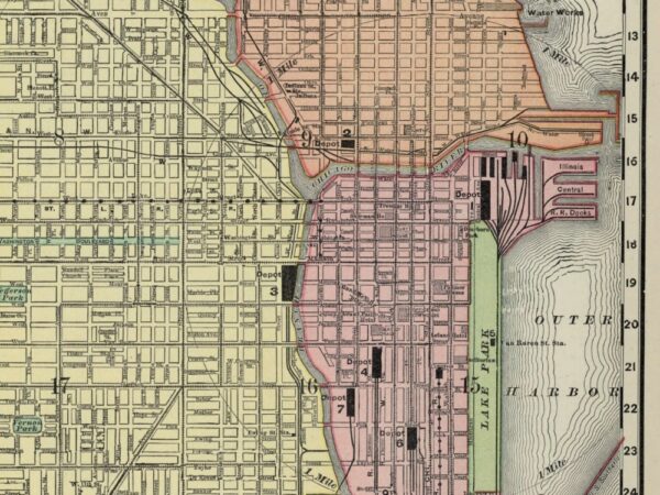
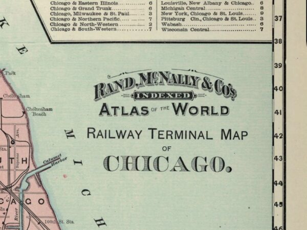
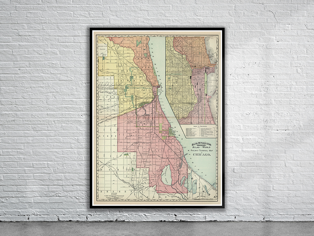
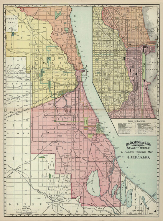
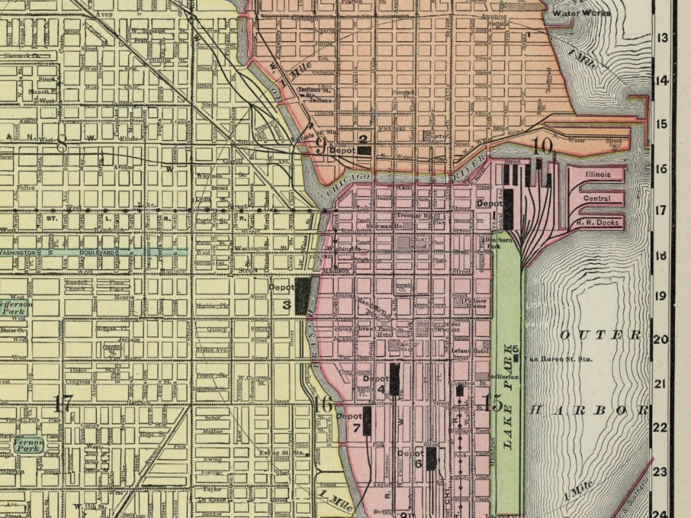
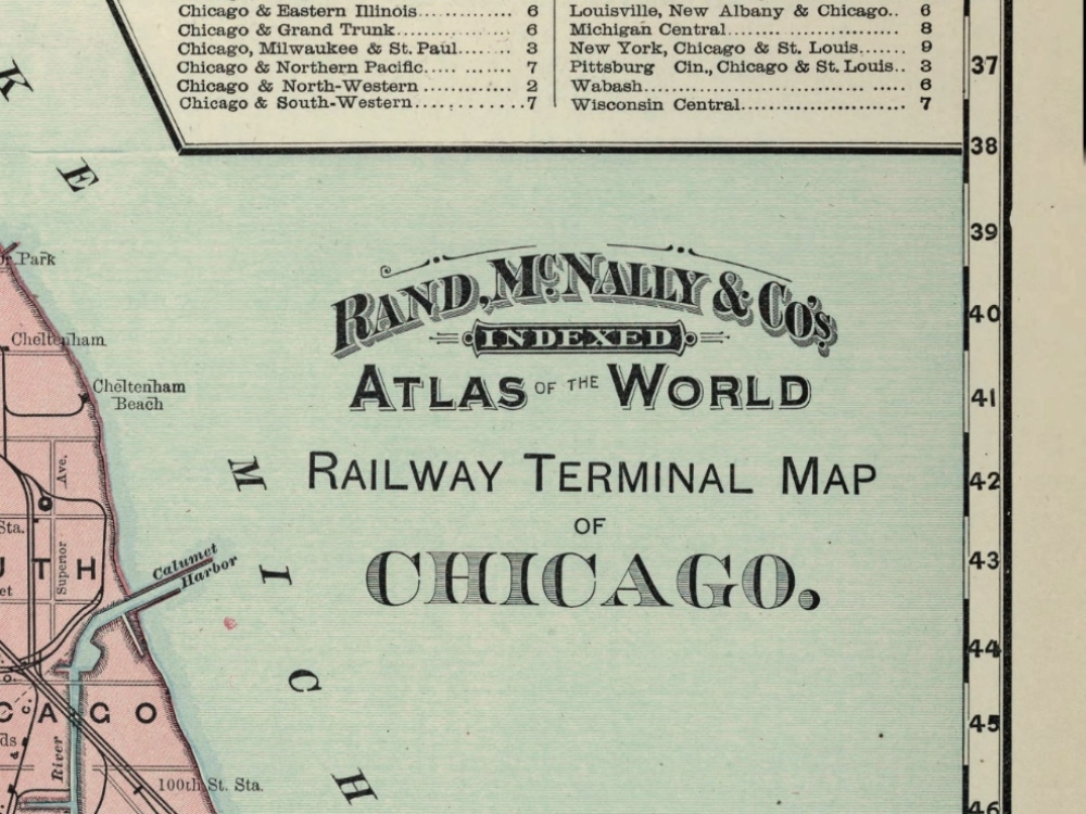
A beautiful coloured map of Chicago from 1897 originally published by Rand McNally. The map includes an inset of the centre of the city on a larger scale as well as the various railway lines and train stations.
- Stunning Full Colour Reproduction using the Most Advanced Technology Available
- Printed on Museum Matte Archival Paper 310gm
- Unique Conversation Piece for your Home or Business
- Frame not included