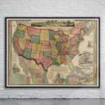
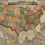

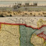
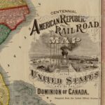
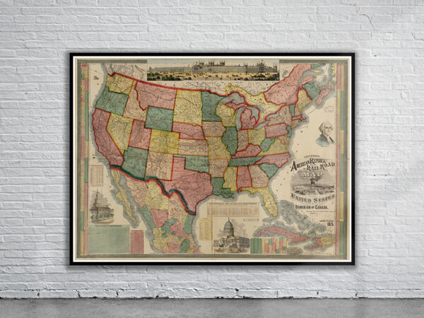
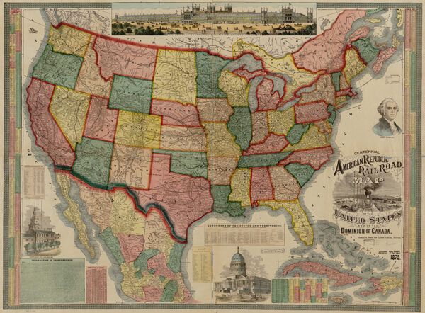

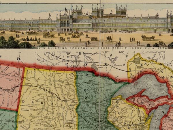
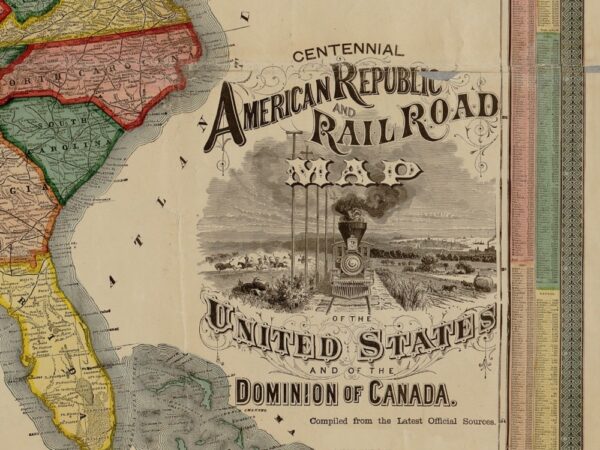
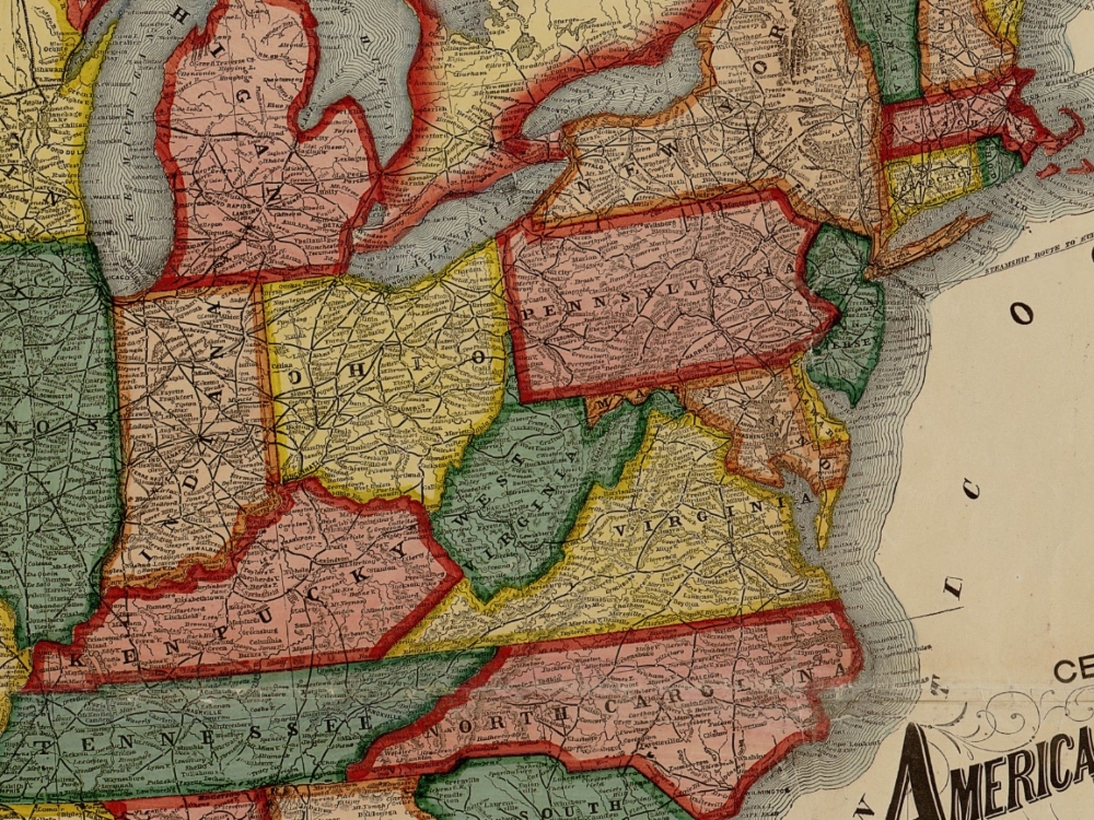
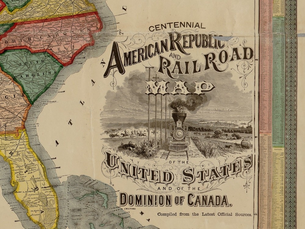
Gaylord Watson’s 1875 Map of the Centennial American Railroad. The Map depicts the Major Cities and Tows of each State as well as the various rail lines serving them. Above the Map is an image of ” The Main building centennial exhibition, Philadelphia, 1876.”
- Stunning Full Colour Reproduction using the Most Advanced Technology Available
- Printed on Museum Matte Archival Paper 310gm
- Unique Conversation Piece for your Home or Business
- Frame not included